Our forecast for the holiday weekend covers two separate wind storms, very warm weather across the Plains, and President’s Day snowfall.
Tag: forecast (Page 6 of 21)
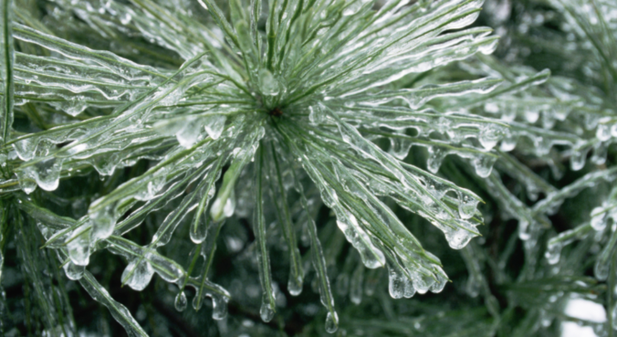
This winter has slowly become the “Winter of Freezing Drizzle” for the Front Range. Many of you have reached out to us wondering why there has been so many occurrences this year in particular. In short, the finger can be pointed at La Niña. However, the true answer is a little more complex.
We’re tracking two wintry systems for the week ahead. The first one will mainly impact the higher elevations on Monday. The second one is scheduled to arrive on Thursday with perhaps better chances for snow across the Denver Metro area. Read on as we detail for the forecast for the next five days.
A mix bag of wintry weather will be present across the Metro area through Saturday evening. Read on as we discuss how things will play out and provide our snowfall forecast for Saturday.
Beginning last Friday, snowfall has been falling intermittently across the Mountains of Colorado resulting from several shortwaves and pockets of moisture hanging out in the northwest flow. The most recent pulse which occurred from Monday morning into Tuesday afternoon generated snow totals of 7 to 15″ across much of the High Country. For the first time this winter, skiing was actually decent on Tuesday! Despite this, snowpack remains disconcertingly low statewide. We check-in on the status of our snowpack and provide our thoughts on another system eyeing the Front Range this weekend.
Premium Storm Update (Mon Feb 5 at 1:30 PM) Ensembles are out to lunch for tonight’s snow! We provide a brief storm update along with a discussion on why the ensemble model runs are worthless for this particular wintry event. READ NOW
—
This week will see rain changing to snow Monday evening. We have included our official snowfall forecast map. We’ll then see a significant warming trend through the rest of the week as a lee trough develops, with the potential for more snowfall during the upcoming weekend.
*Contest entries are now closed*
What is the outlook for snowfall in the next three months? You tell us! We provide a brief overview of the climatology, long-range model forecasts, and La Niña for the next three calendar months. We then ask for YOUR long-range forecast for snowfall in Boulder. Prizes include Amazon gift cards, BoulderCAST T-Shirts, and Premium subscriptions. Enter now!
Warm weather has been the story over the last few days for the Front Range, but that headline is about to change with the arrival of a potent winter storm Saturday night. We explain the atmospheric set-up and detail what will likely be our biggest snow event so far this winter across the lower elevations.
© 2026 Front Range Weather, LLC


