


We’re comfortably in the 70’s now, but rain and snow are looming. A few model shifts over the last twenty four hours have altered a few aspects of the forecast for the spring storm set to arrive this evening. Read on for all the details!
Tag: forecast (Page 16 of 24)
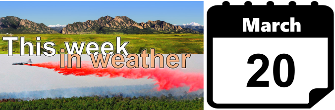
Happy First Day of Spring! As smoke spewed from the mouth of Sunshine Canyon yesterday, the extent of the wildfire threat become more obvious than ever. The fire ignited late Saturday night following what has been more than three weeks in Boulder without measurable precipitation. We have some good news…the week ahead should offer some reprieve for the extremely dry weather of late. In fact, we have a chance of precipitation in the forecast each and every day this week. We’re also tracking a potential spring storm late in the week. Continue reading for our complete weekly outlook including our thoughts on the potential for accumulating snow.

After a very warm and calm weekend, the weather turns active to start our week ahead with snow for the High Country along with high winds in the Metro area. The weather returns to above normal temperatures by midweek which will continue into the weekend. Read on for our full weekly outlook.

The weather pattern this week will be somewhat active for Colorado, but the overall impact on the Plains will be minimal. However, the skiers will be pleased for the return of more mountain snow. Despite the quiet and warm times of late, our two snowiest months are still in front of us, so don’t let your guard down yet! Read on for our outlook of the upcoming weather-week in Denver.

After a gorgeous weekend with temperatures across the Plains in the upper 50’s and lower 60’s, the week starts off rather uneventful with conditions similar to yesterday. However, things will be changing, mainly in the department of gusty downslope winds several days this week. This spells out continued above normal temperatures for the Plains, but upslope flow and snowfall for the High Country. Read on for our full weekly outlook of what to expect.
We begin the week under the protective influence of a mid-level ridge of high pressure. With this, the Front Range will be (mostly) dry and at times very warm through the week. Read on for our short and to-the-point weekly outlook.

2017 got off to a quick start with multiple snow storms dumping on parts of northeast Colorado and the Mountains. However, we’re seeing strong indication in the models that things are about to quiet down significantly for the foreseeable future.
Live Radar

Trending Content


© 2026 Front Range Weather, LLC