Page 8 of 549
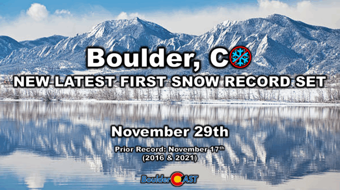
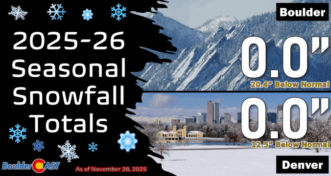
Winter Storm Recap: That dusting of snow was Boulder’s latest first snowfall on record, and it wasn’t even close
Boulder’s long snow drought has finally ended—just shy of a record streak. An Arctic front swept through early Saturday, dropping temps fast and delivering the season’s first flakes. Boulder picked up 0.3″, the latest first snowfall ever recorded in the city and it wasn’t even close. Curious how our forecast stacked up and what’s next? Spoiler: Another round of snow is already knocking on the door for Sunday.
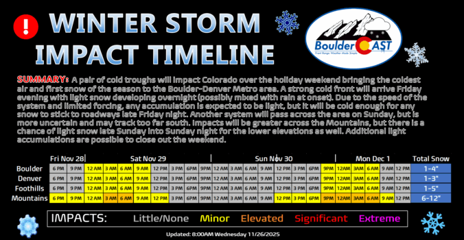
Winter Weather Update: First snowflakes of the season possible Friday night in Boulder/Denver, up to 7 inches in the Mountains
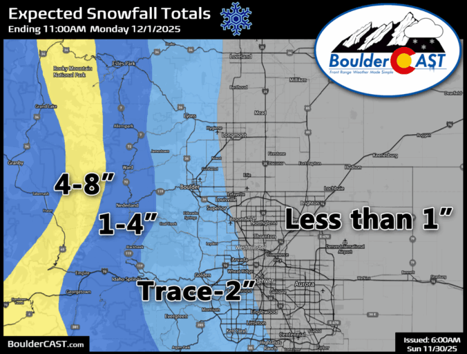
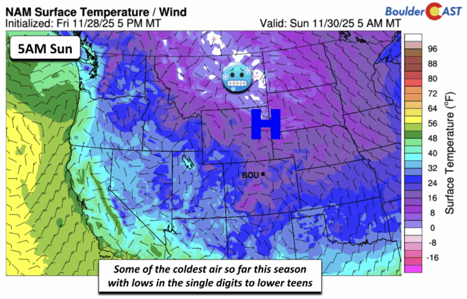
A big change is about to hit Front Range: after one more warm, breezy Friday, a strong cold front sweeps in overnight, dropping temperatures to the coldest of the season. Will Denver and Boulder finally see their first snow? That’s not guaranteed, unfortunately, but the Mountains are in for several fluffy inches and tricky travel ahead. Read on for the full breakdown—including details on the timing, our snowfall map, travel impacts and what lies ahead for our next wintry system on Sunday.
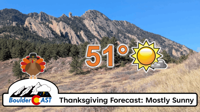
*Premium* BoulderCAST Daily – Thu 11/27/25 | A sunny Thanksgiving, plus an update on the cold/snow brewing for the weekend
Winter Weather Update: Historic snow drought likely comes to an end during what will be a bitter cold holiday weekend in the Front Range
After weeks of unseasonable warmth, the Front Range is staring down its first taste of winter. Mild weather will continue for the next few days, including a beautiful Thanksgiving holiday, but by Friday night a powerful cold front will surge into Colorado, ending this historic snow drought with our first flakes of the season likely to fall. Read on for a full breakdown of what to expect and when, including our preliminary snowfall forecast map for Friday night.
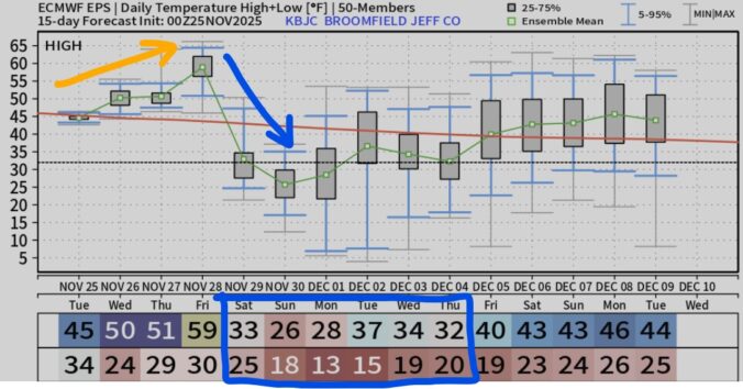
*Premium* BoulderCAST Daily – Tue 11/25/25 | Quiet weather through Friday afternoon, but much colder temperatures and snow are on-track to arrive this weekend
As we wrap up November and head into Thanksgiving week, the weather is serving up a mix of calm and intrigue. The lead up to the holiday will be pleasant enough, but there are growing signs of a big pattern shift waiting in the wings. Could Arctic air and long-awaited snowflakes finally arrive by the weekend? The details are still coming into focus, but we’ve got the latest outlook and what it could mean for your holiday weekend plans.
© 2026 Front Range Weather, LLC


