
Page 73 of 550
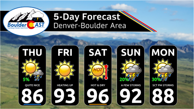
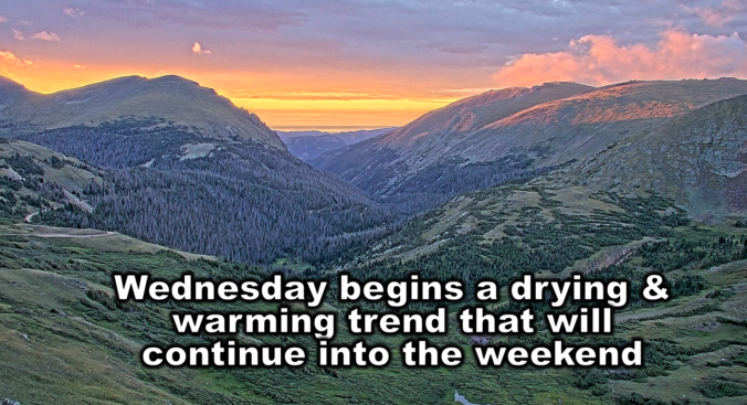
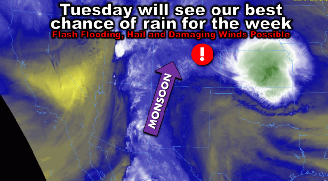
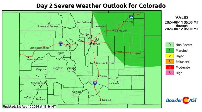
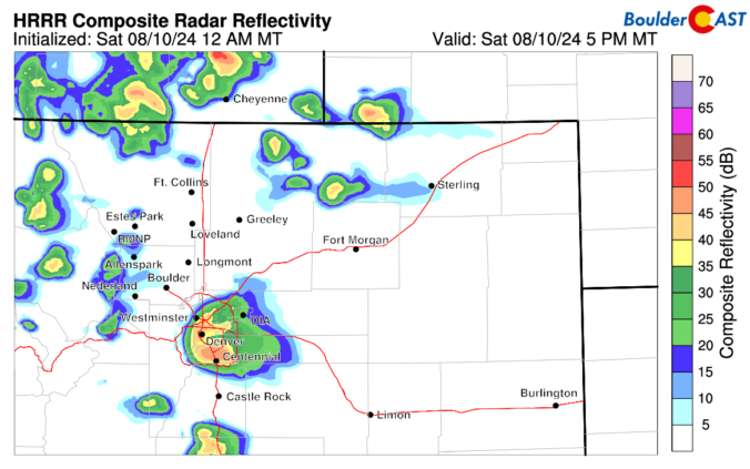
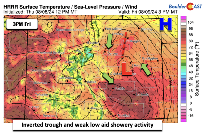
Rain chances in the Front Range will be front-loaded this week with a moist monsoonal flow in place. Temperatures will consequently hover near average in the 80s with plentiful clouds and storms developing each day, some of which could cause localized flash flooding. Rain chances will remain for the latter part of the week, but coverage lessens significantly as drier air is forecast to move in. We’ll also likely see the return to the 90s by week’s end. Read on for all the details.
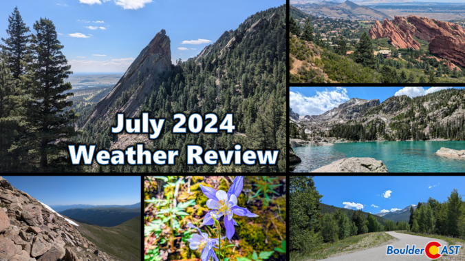
After three months with barely any rainfall, our parched vegetation unfortunately ignited at the end of July with several large wildfires taking off in the Front Range burning more than 12,000 acres combined. Unsurprisingly, drought further expanded in July and numerous jurisdictions enacting fire bans. Overall temperatures during the month were close to normal following several periods of ups and downs. Here’s a quick and colorful graphical recap of our weather during July and how it relates to climatology.

Live View of Boulder

Current Conditions

Live Radar

Recent Premium Posts

BoulderCAST Daily – Thu 01/15/26 | Fire Danger Today Before a Cold Front Tonight
🔥 Fire danger rising — Warm and windy today ahead of a strong …
BoulderCAST Daily – Wed 01/14/26 | A gorgeous Wednesday ahead of increasing fire danger & a stronger cold front tomorrow
🌬️ Weak front overnight — A weak cold front slipped through around 9:30 …
BoulderCAST Daily – Tue 01/13/26 | A thick blanket of high clouds won’t stop us from reaching the 60s again
☁️ Thick cloud deck overhead — Moisture streaming in aloft brings widespread mid‑ …
3-Day Forecast

Trending Content

© 2026 Front Range Weather, LLC