



Page 68 of 585
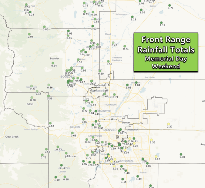
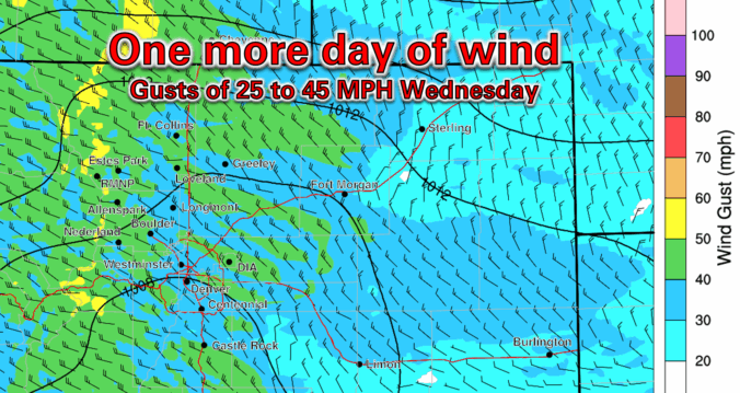
So far this Memorial Day Weekend has brought a mix of welcomed rainfall and intense thunderstorms across the Front Range, with some areas seeing over two inches of rainfall and even hail. While the first half of Monday should be dry for holiday festivities, scattered showers and storms will develop in the afternoon with brief downpours, gusty winds, and lightning. The unsettled pattern continues throughout the week ahead, with Wednesday and Thursday offering the highest storm chances, fueled by lingering atmospheric energy. However, as we approach the weekend, a shift toward warmer and drier conditions is expected, with highs climbing into the lower 80s and fewer storms impacting the region.
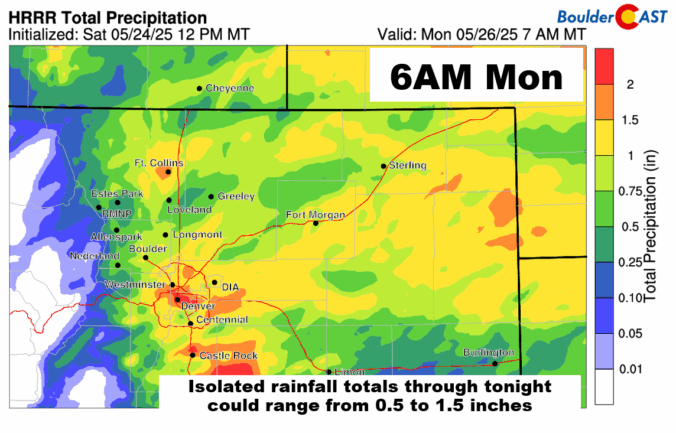
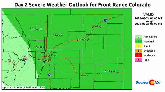
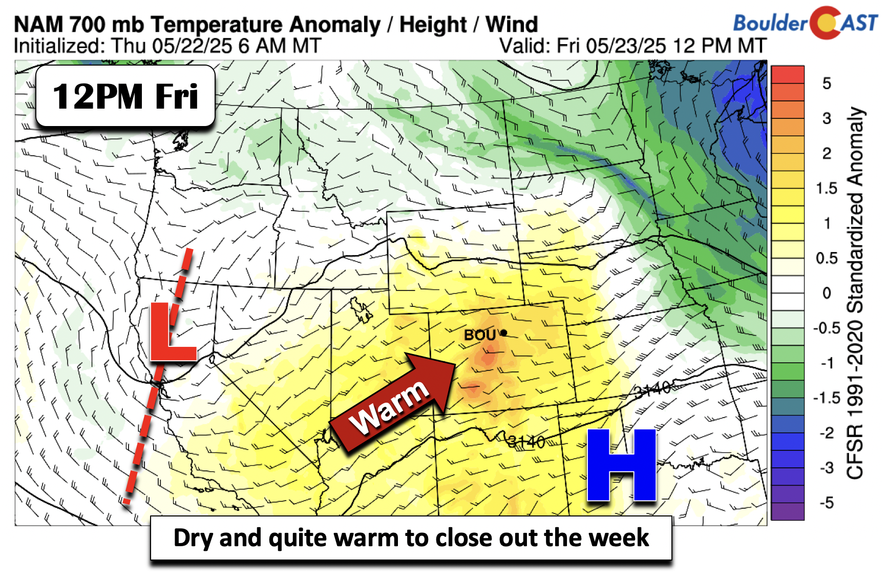
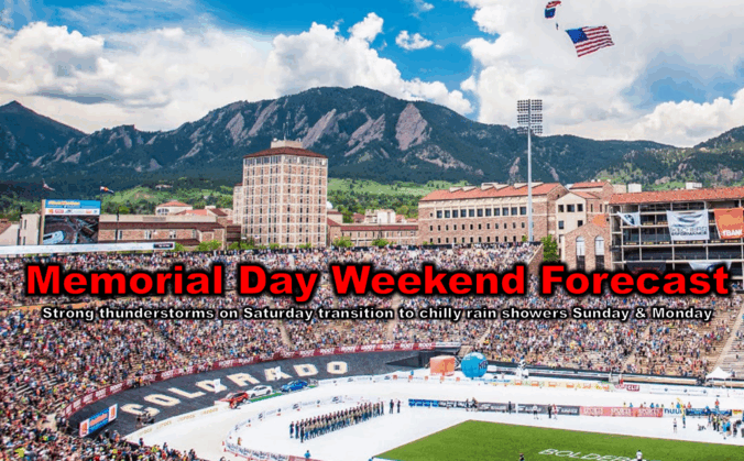
As we roll briskly into Memorial Day weekend, the forecast is shaping up to be a mix of weather conditions across the Front Range. Thursday and Friday will be pleasant, but by the weekend, a slow-moving weak storm system will shake things up, bringing cooler temperatures and a higher chance of showers and thunderstorms, including some severe risk. If you’ve got outdoor plans, definitely stay weather-aware, but don’t let a little rain spoil the holiday fun! Continue reading

Live View of Boulder

Current Conditions

Live Radar

Latest Smoke Forecast

Recent Premium Posts

BoulderCAST Daily – Sun 09/27/26 | A Mild Sunday, Followed by Wet Weather This Week
☀️ Mild Sunday — Highs well into the lower 80s with a few …
BoulderCAST Daily – Sat 09/26/26 | Quiet Weather, But Wet Weather Is Brewing Next Week Tied To A Tropical System
☀️ Weekend calm — Weather is quiet this weekend in the lower 80s …
BoulderCAST Daily – Fri 09/25/26 | A Stormy Friday, Followed by a Quiet Weekend
🌧️ Friday storms — Another wave brings afternoon scattered showers and storms ☀️ …
3-Day Forecast

Trending Content



© 2026 Front Range Weather, LLC