
Page 6 of 549
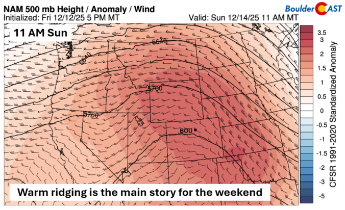

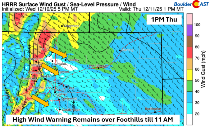
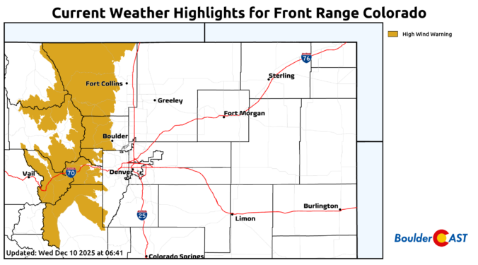
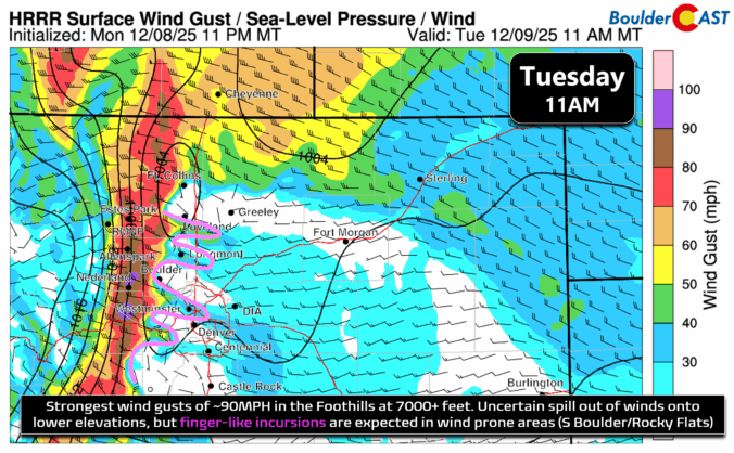
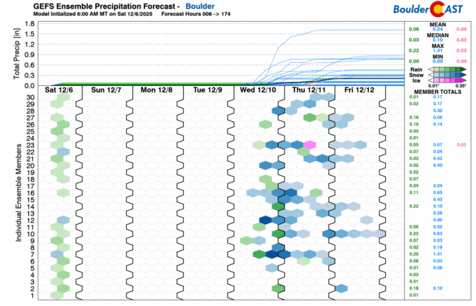
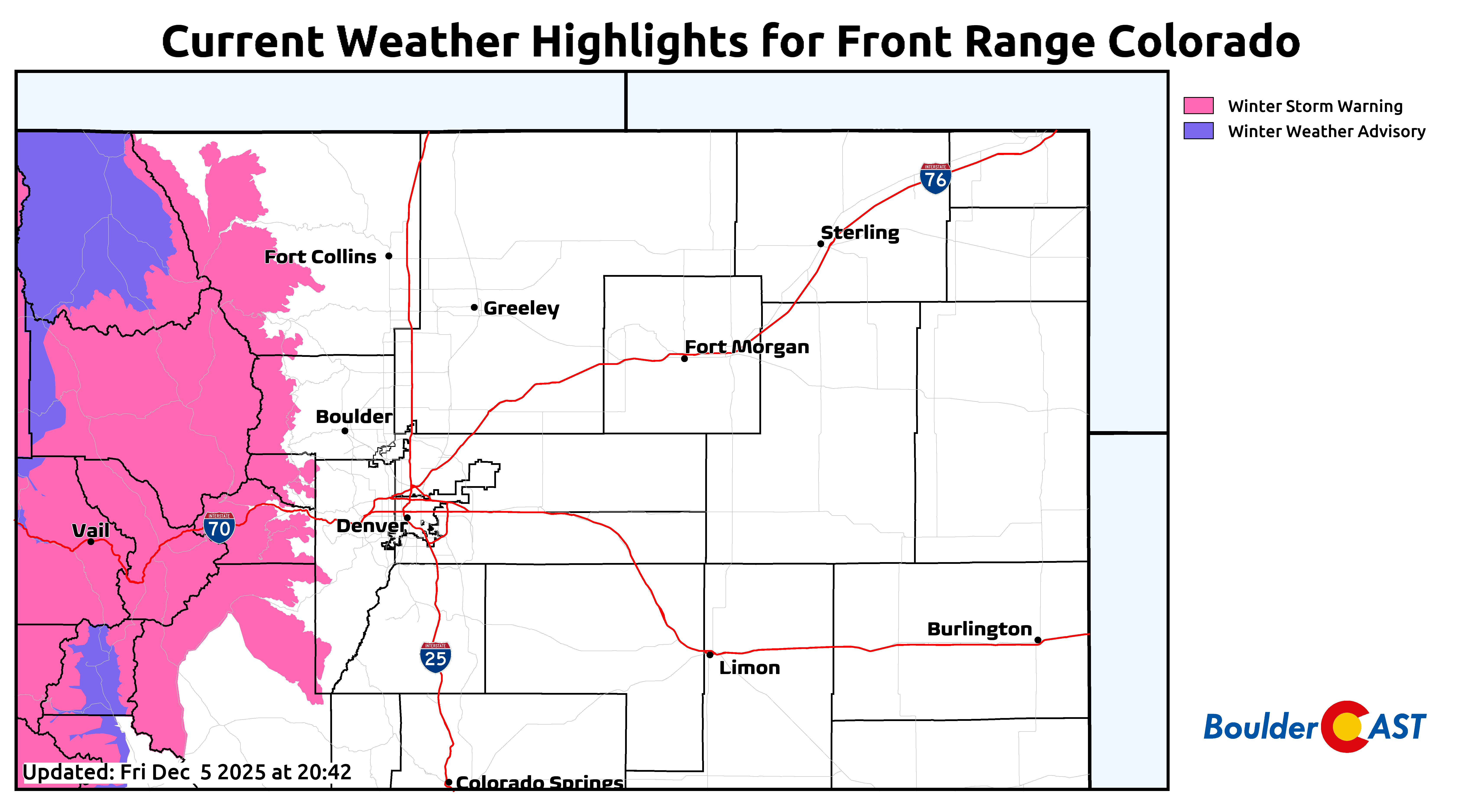
The Front Range finally saw its first real snow of the season last week, with Boulder picking up about 8 inches and the Foothills a bit more. The Mountains then cashed in over the weekend, stacking up one to four feet of powder. While this moisture is a welcome boost to our lagging snowpack, it’s not enough to erase drought concerns—but fire risk this year looks very different than the setup before the Marshall Fire. Looking ahead, the story shifts from snow to wind: multiple high‑wind events are on tap for the Foothills this week, while Boulder and Denver stay mostly dry and mild with highs in the 50s to 60s with occasional breeziness. Read on for the full breakdown of this week’s weather.

Live View of Boulder

Current Conditions

Live Radar

Recent Premium Posts

BoulderCAST Daily – Sun 01/11/26 | A mild Sunday with readings reaching the 50s
🌤️ Mild & Melty Sunday: Light winds and patchy clouds, with lingering snowpack …
BoulderCAST Daily – Sat 01/10/26| Widespread sunshine and moderating temperatures this weekend as our recent snow melts off
🌤️ Calm Saturday: Winter storm systems have departed the state, leaving behind a …
BoulderCAST Daily – Fri 01/09/26| Snow ends quickly this morning with a quieter weekend in store
❄️ Overnight snow bands: A second push of upslope after midnight sparked narrow …
3-Day Forecast

Trending Content

© 2026 Front Range Weather, LLC