
Page 101 of 569
*Premium* This Weekend in Colorado Weather: Late-week record heat ahead of a cooler & wetter weekend

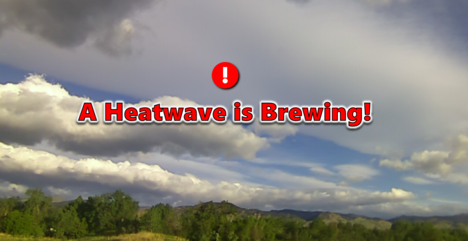
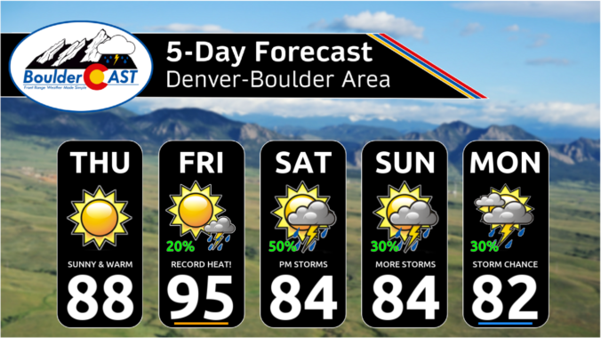
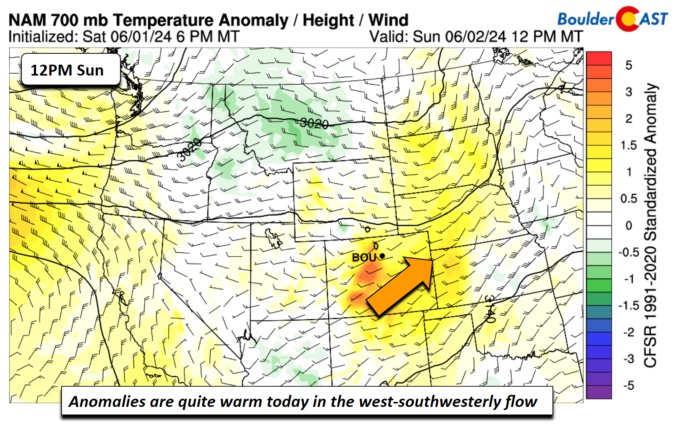
After a mostly quiet and warm weekend, things will more-or-less remain unchanged for the first full week of June. Temperatures will stay warm to hot with only a small chance of rainfall this week. We’ve managed to dodge the nineties so far in 2024, but that bout of good fortune will run out later this week with multiple days soaring above 90 degrees. Read on for all the details.
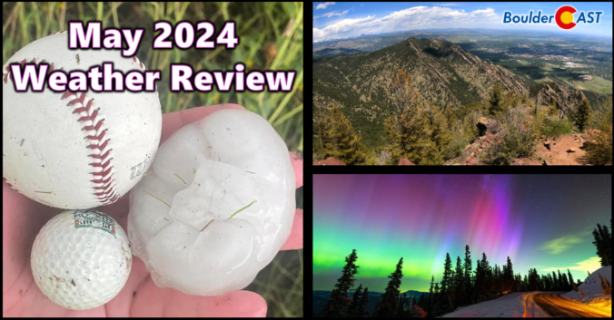
2024 began very soggy across the Front Range, but the month of May did a complete one-eighty concluding as Boulder’s driest in 50 years and 2nd driest since record-keeping began in the late 1800s. Other notable weather events during the month include the once-in-a-lifetime northern lights display visible across almost the entire United States and also what is likely to be yet another “billion-dollar hailstorm” which slammed parts of the Denver Metro area on May 30th. Here’s a quick and colorful graphical recap of our weather during May and how it relates to climatology.


Live View of Boulder

Current Conditions

Live Radar

Recent Premium Posts

BoulderCAST Daily – Sun 05/31/26 | Dry and warm today but rain chances increase this week
🌦️ Overall dry and warm Sunday, though cannot rule out a very widely …
BoulderCAST Daily – Sat 05/30/26 | A stray shower today as most activity resides well east of Denver
🌦️ Spotty showers today, mainly well east of the Denver Metro area, where …
BoulderCAST Daily – Fri 05/29/26 | A Marginal Risk of Severe Isolated Storms
🌦️ Spotty showers this afternoon, mainly noon and 4 PM, with highs in …
3-Day Forecast

Trending Content

© 2026 Front Range Weather, LLC