Page 10 of 549


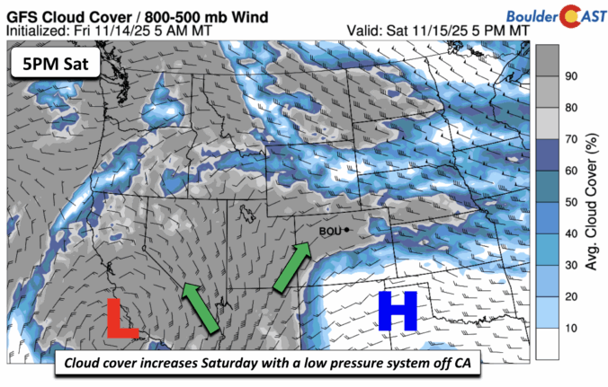
*Premium* This Weekend in Colorado Weather: Warm & dry conditions continue with a record late first snow now all but certain for Boulder
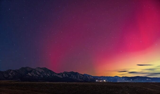
*Premium* BoulderCAST Daily – Wed 11/12/25 | Staying warm, increased wave cloud activity will limit Northern Lights viewing tonight
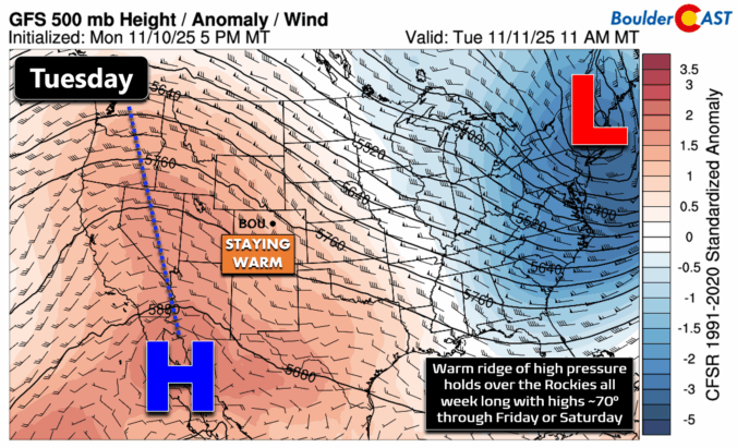
*Premium* BoulderCAST Daily – Tue 11/11/25 | Exceptional November warmth holds strong through Friday
This week brings a stretch of unseasonably warm and quiet mid-November weather across the Front Range, with highs holding in the upper 60s to low 70s through Friday. However, a stronger cold front arrives in time for the weekend and it could finally deliver a shot of snow. Models remain split on the system’s track, leaving the Metro area with only modest odds to see accumulating snow, while the Mountains look primed for several inches. With records for Boulder’s latest first snowfall and longest snow‑free streak hanging in the balance, this is a setup worth watching as the week unfolds.
© 2026 Front Range Weather, LLC


