
A welcomed cool-down will transpire early in the week as a strong Pacific trough moves across the Rockies. However, accompanying the cooler temperatures will be very strong winds Monday evening and night, as well as widespread rain and even some wet snow in the higher elevations. By mid-week, yet another ridge of high pressure will begin to take shape leading to a warming and drying trend for the Front Range.
Category: Winter Weather (Page 82 of 139)
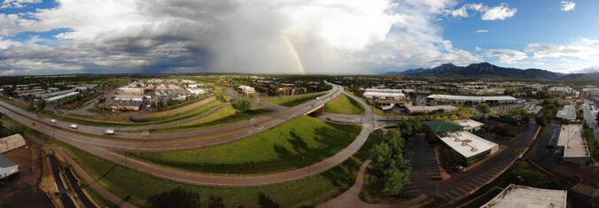
These posts contain some discussion of the white stuff, whether it be mountain snow pack or a Front Range snowstorm.
May 2020 had pockets of interesting weather mixed in with atypically longer dry periods. Here’s a quick and colorful recap of our weather during the month of May and how it relates to climatology.

The week ahead is one typical for the last week of May. We have some warmer days, some cooler ones and chances for rain throughout the forecast. Let’s take a look!
It’s been a while since we provided a forecast update for a significant weather event, but here we are. A potent and surprisingly cold spring storm is taking aim on the area with quite a bit of moisture set to drop over the next 36 hours. We take a look at timing of the cold rain, potential rainfall amounts, and discuss which areas may even see a little bit of late-season snow.
Well, April 2020 didn’t play out quite as anyone expected with record cold and snow the main story. Here’s a quick and colorful recap of our weather during the month of April and how it relates to climatology told through a series of graphics.
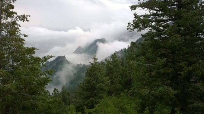
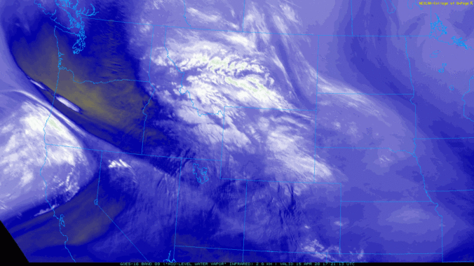
The polar jet stream took a major dive this week rolling out the red carpet for a series of storm systems that brought record-setting cold as well as significant late-season snow to the Front Range. We take a look at the snowfall totals, new cold and snow records, and look ahead to a stretch of warmer temperatures.
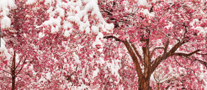
As if we haven’t had our fill of winter already this week, another potent storm system will bring more accumulating snow to the Boulder and Denver area Wednesday night and into Thursday. This approaching storm isn’t as cold as the one earlier this week, but does have more moisture to work with and a very efficient mechanism to produce moderate to heavy snow. As a result, many locations will likely see more snow in the next 36 hours than what fell on Easter Sunday and Monday combined! Read on for a discussion of the incoming winter wonderland and a look at our snowfall forecast map.
PREMIUM STORM UPDATE (7:00 AM Thu 04/16/20): Heavy snow has fallen as expected overnight from Boulder to Fort Collins. We take a look at the latest model runs and discuss for the forecast for the second half of the snowstorm that will linger into Thursday evening. Click HERE to read.
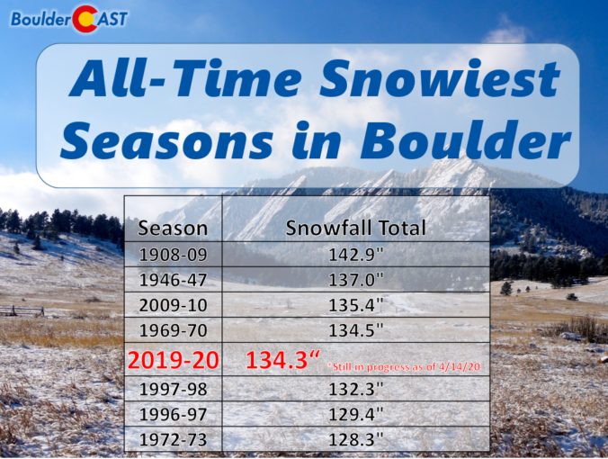
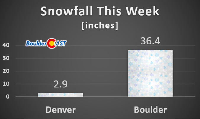
Boulder picked up nearly 19″ of snow from the cluster of storms earlier this week and now has a very good chance of breaking its century-old seasonal snowfall record. We discuss why Boulder has seen so much more than Denver this snow season, and also comment on our next winter storm knocking on the door Wednesday night into Thursday.

Live View of Boulder

Current Conditions

Live Radar

Recent Premium Posts

This Weekend in Colorado Weather: Early-Season Heat Ramps Up — First 90s of the Year on the Horizon
🌬️ West–northwest flow Thursday supports high‑based convection with gusts to 35 MPH; virga …
BoulderCAST Daily – Wed 06/03/26 | Scattered P.M. storms again as moisture peaks for the week
🌬️ Weak westerly flow aloft today with no major synoptic features nearby; only …
BoulderCAST Daily – Tue 06/02/26 | Storms Reload This Afternoon, But With Noticeably Less Bite
❄️ Monday delivered lots of hail to northeast Colorado, with one supercell tracking …
3-Day Forecast

Trending Content

© 2026 Front Range Weather, LLC