With a bulk of this winter’s snowfall now behind us, we’d like to take a moment to review the outcomes of our snowfall forecasts. From the early-season storm that flew completely under the radar, to the epic blizzards in late February and mid-March, it was a great year for powder across the Front Range! From the good, to the bad, to the downright ugly, we crunch the numbers to see how well our snowfall forecasts verified throughout the Denver Metro area across the entire winter season.
Category: Winter Weather (Page 129 of 139)
These posts contain some discussion of the white stuff, whether it be mountain snow pack or a Front Range snowstorm.

Following a stretch of warmer weather, an active storm track returns to close out the month of April. With it comes cooler temperatures and increased precipitation chances through the week. Our biggest concern is the potential for another spring storm late in the week. Read on for our complete outlook.

After an historic snow storm produced 18″ in Boulder and up to 45″ in the nearby Foothills over the weekend, our attention turns to the week ahead. Highlights include a cold and dreary first few days, with a warming trend and gorgeous weather by week’s end. In fact, highs look to return back to the 70’s by Friday. Read on for our full forecast for the upcoming week.
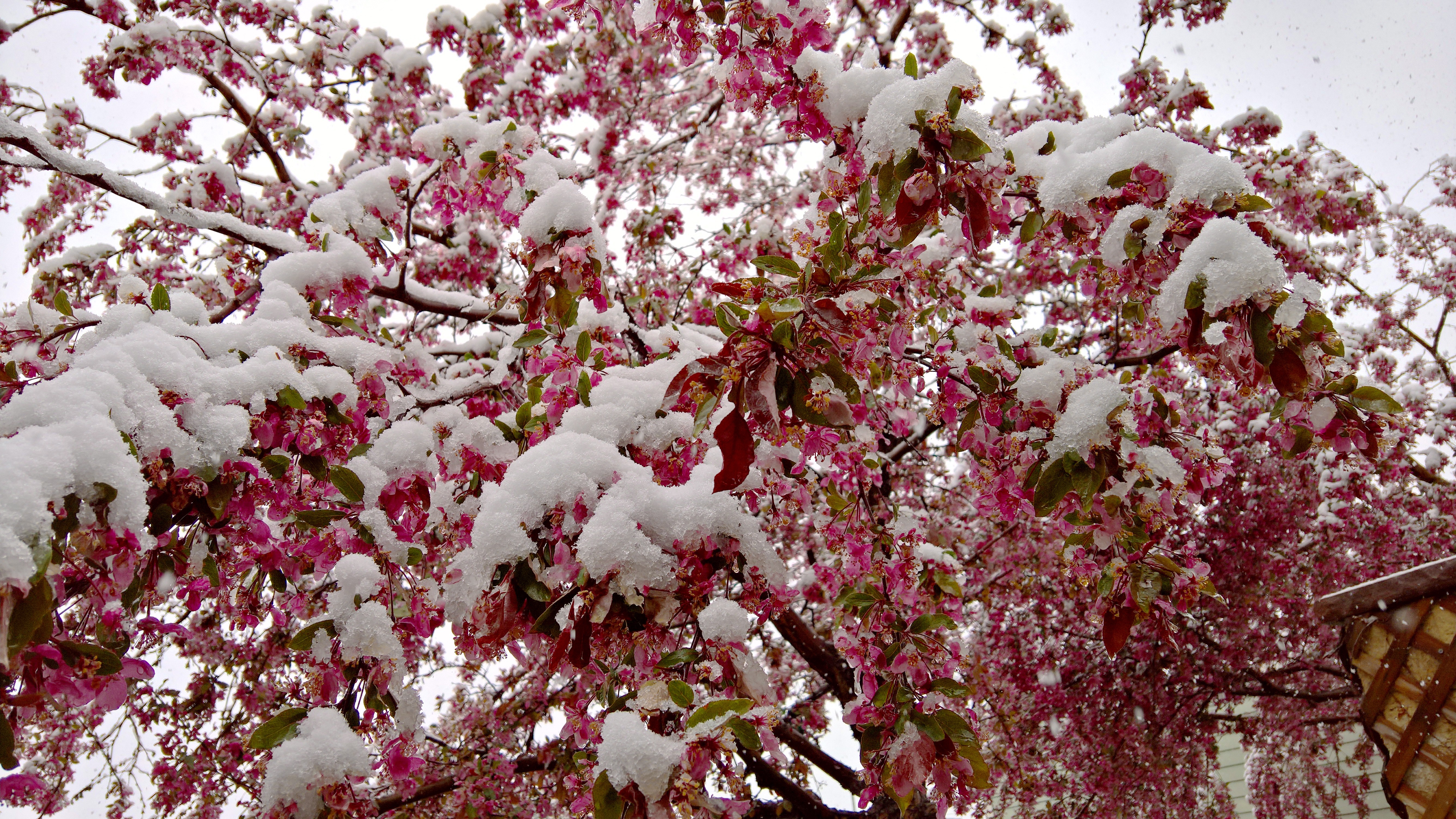
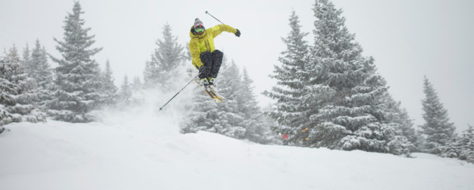
After much hype, Mother Nature delivered a mid-April wallop of snow to northeast Colorado this weekend. Some of us fared (much) better than others, but just about everyone got in on the action. We review the good and bad of our forecast and check in on the health of our mountain snow pack.
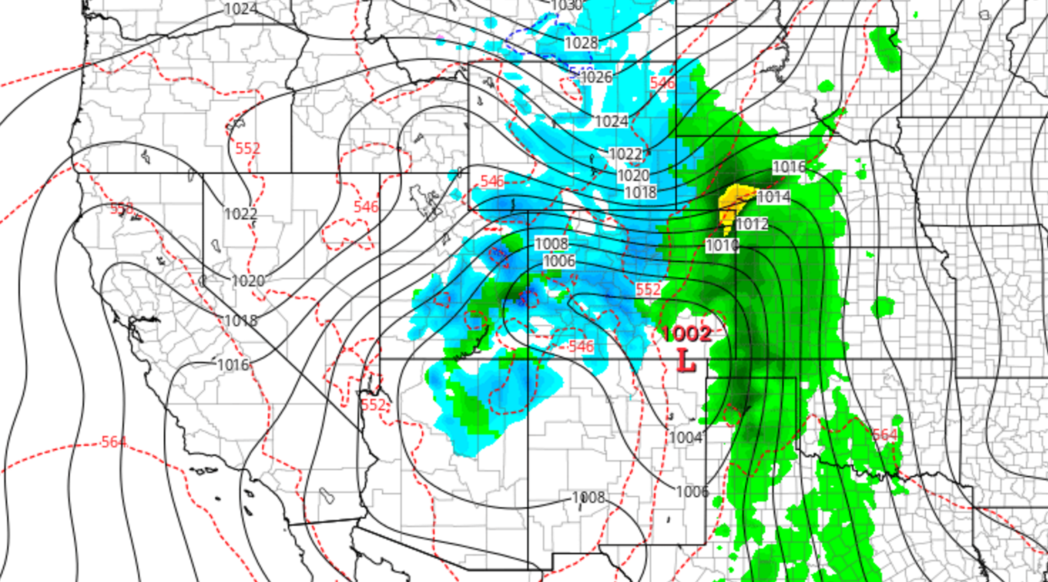
We’ve been tracking the storm very closely over the last week. With forecast temperatures trending down over the last several days, the threat of potentially flooding rain has morphed into the concern for a dumping of heavy, wet spring snow for everyone across the Front Range. Read on as we present our final forecast for this historic storm.

A powerful, slow-moving system is still on track to impact the region through the weekend. The Foothills are undoubtedly set for massive snow totals, but uncertainty remains in exactly how much the lower elevations will pick up. We summarize recent model trends and give a forecast update on this upcoming historic weather event.
Not surprisingly, there is already A LOT of media hype surrounding the potential for another “epic snowstorm” this weekend across the Denver Metro area. It’s been all over social media and the news, with even a few shades of optimism present in our own forecasts. However, let’s take it one step at a time and not line ourselves up for disappointment. Continue reading as we set realistic expectations for this weekend’s potential storm.
After a smattering of rain last night, cool and dreary weather will prevail on Monday. However, we’ll warm back up and (mostly) dry out in no time. For the end of the week, we’re monitoring the arrival of a powerful weather system which will likely bring rain and snow back into the picture for the weekend. Read on for our full outlook for the week ahead.

Live View of Boulder

Current Conditions

Live Radar

Recent Premium Posts

BoulderCAST Daily – Sat 06/06/26 | Isolated afternoon storms as the heat continues
🥵 Middle 90s dominate today and Sunday 🌩️ Front Range storms each afternoon/evening …
BoulderCAST Daily – Fri 06/05/26 | A streak of 90s set in through the weekend
🥵 A streak of 90s today through the weekend with low to middle …
This Weekend in Colorado Weather: Early-Season Heat Ramps Up — First 90s of the Year on the Horizon
🌬️ West–northwest flow Thursday supports high‑based convection with gusts to 35 MPH; virga …
3-Day Forecast

Trending Content

© 2026 Front Range Weather, LLC
You must be logged in to post a comment.