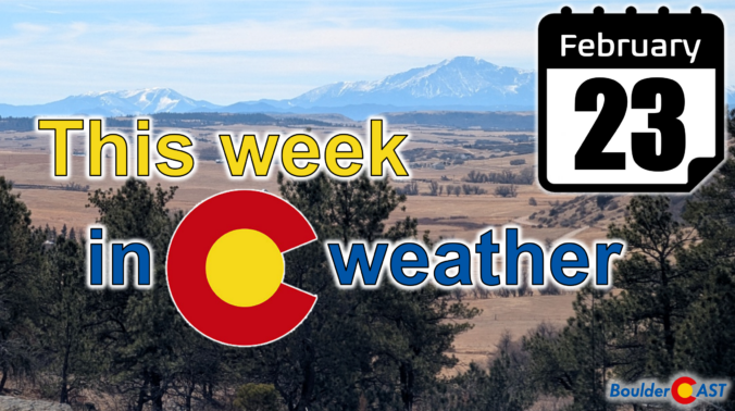
As February limps toward the finish line, Colorado’s “winter” continues to behave like anything but. Last week the Mountains cashed in on a burst of Pacific moisture while the Denver Metro area stayed stubbornly snow‑starved. The week ahead brings more of that same split personality—warmth, wind, fire danger, and another round of Mountain snow. We break down the lopsided snow totals from last week, the updated but still troubling snowpack numbers, and discuss why this week will be so darn warm and windy again in the Front Range.
Category: Winter Weather (Page 1 of 135)
These posts contain some discussion of the white stuff, whether it be mountain snow pack or a Front Range snowstorm.

Much-needed snow piled up across all of the Mountains of Colorado this week, but once again Boulder and Denver missed out on almost all of the action.
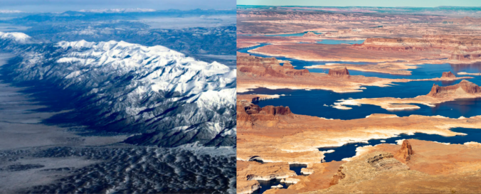
Winter may be on the calendar, but it certainly hasn’t been in the air this year. As the West stumbles through one of its warmest, most lopsided cold seasons on record, the signs of a deeper shift are becoming impossible to ignore. From record‑breaking heat along the Front Range to a snowpack crisis unfolding across the entire West, this “winter” has rewritten the rules — and the ripple effects are only beginning to surface. We break down what happened this year, why it matters, and what this complete failure of a winter means for the months ahead.
As we roll into the new week, Colorado is staring down a remarkably busy stretch of weather — the kind that keeps both meteorologists and emergency managers on their toes. From dangerous fire conditions on the Plains to a multi‑day snow dump in the Mountains, the state is set to experience just about every flavor of February weather. A powerful longwave trough will anchor itself over the West through the week, sending repeated waves of wind, moisture, and cold our way. The result will be critical fire danger, high winds, heavy snow, and a late‑week cooldown. Let’s take a closer look at what’s coming and why this week could be one of the more impactful ones Colorado has seen so far this “winter” season.
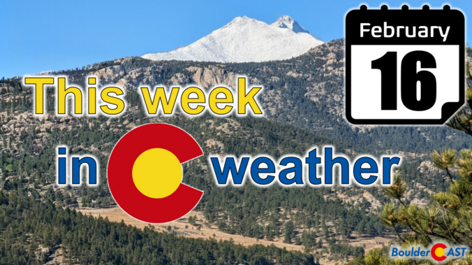
After weeks of spring-like warmth and quiet skies, the atmosphere is finally showing signs of waking up in the West. While drought continues to tighten its grip and Colorado’s snowpack sits at historic lows, things are beginning to stir, subtly at first, but with hints of something more promising on the horizon. This week brings our warmest day yet with Monday approaching 70 degrees, then a quick cooldown Tuesday, and finally the return of Mountain snow midweek courtesy of a weak atmospheric river. It’s not the pattern shift we need just yet, but it’s the most active stretch we’ve seen in a while… and it may be the first step toward rebuilding what winter has failed to deliver so far in the High Country. Let’s dig in.
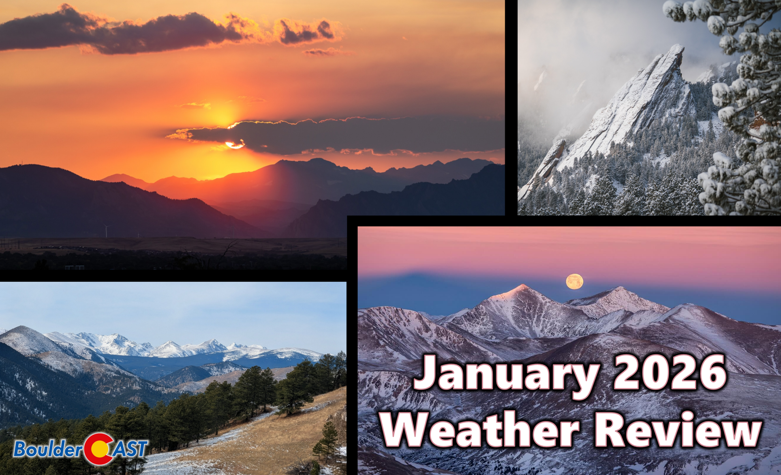
January 2026 wrapped up feeling more like an early taste of spring than the heart of winter along the Front Range, with warm spells, frequent downslope winds, and only fleeting brushes with snow. Boulder spent much of the month running well above normal, dodging storm after storm as the real winter weather stayed locked in the Mountains and across the eastern half of the country. Here’s a quick and colorful graphical recap of our weather during January and how it relates to climatology.
February isn’t wasting any time showing us who’s in charge along the Front Range—and spoiler alert, it’s not winter. As we roll into Groundhog Day and beyond, the pattern overhead keeps leaning warm, quiet, and stubbornly snow‑stingy. A weak system will try to shake things up Tuesday night, but the bigger story is how quickly we bounce back into springlike warmth and how the broader West continues to miss out on meaningful moisture. If you’re wondering where the real winter weather is hiding, or if Colorado has any chance of breaking its dry streak, read on for all the details.
A fleeting brush with winter may have swept across the Front Range this past weekend, but the atmosphere isn’t planning to stick with the theme for long. That sharp Arctic plunge—while refreshing for snow lovers—was more of a brief interruption than a true turning point. A closer look at the pattern ahead shows Colorado snapping right back into its now‑familiar routine of warm afternoons, bone‑dry air, and a statewide snowpack sitting at record‑low levels. Winter may have knocked on the door, but it certainly isn’t moving in.

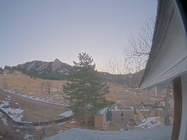
Live View of Boulder
Current Conditions

Live Radar

Recent Premium Posts

BoulderCAST Daily – Tue 02/24/26 | High winds, critical fire danger, and Mountain snow develop as a Pacific jet drops south
🌬️ Jet‑Driven Wind Surge: A 150+ MPH polar‑jet segment sliding south will produce …
BoulderCAST Daily – Sun 02/22/26 | Warm with gusty winds by midweek as snow returns to the High Country
☀️ Warm into midweek with mid/upper 60s Tuesday and Wednesday 💨Gusty winds return …
BoulderCAST Daily – Sat 02/21/26 | Trending warmer this weekend through early next week
☀️ Warming up this weekend through early next week to eventual 60s by …
3-Day Forecast

Trending Content

© 2026 Front Range Weather, LLC