


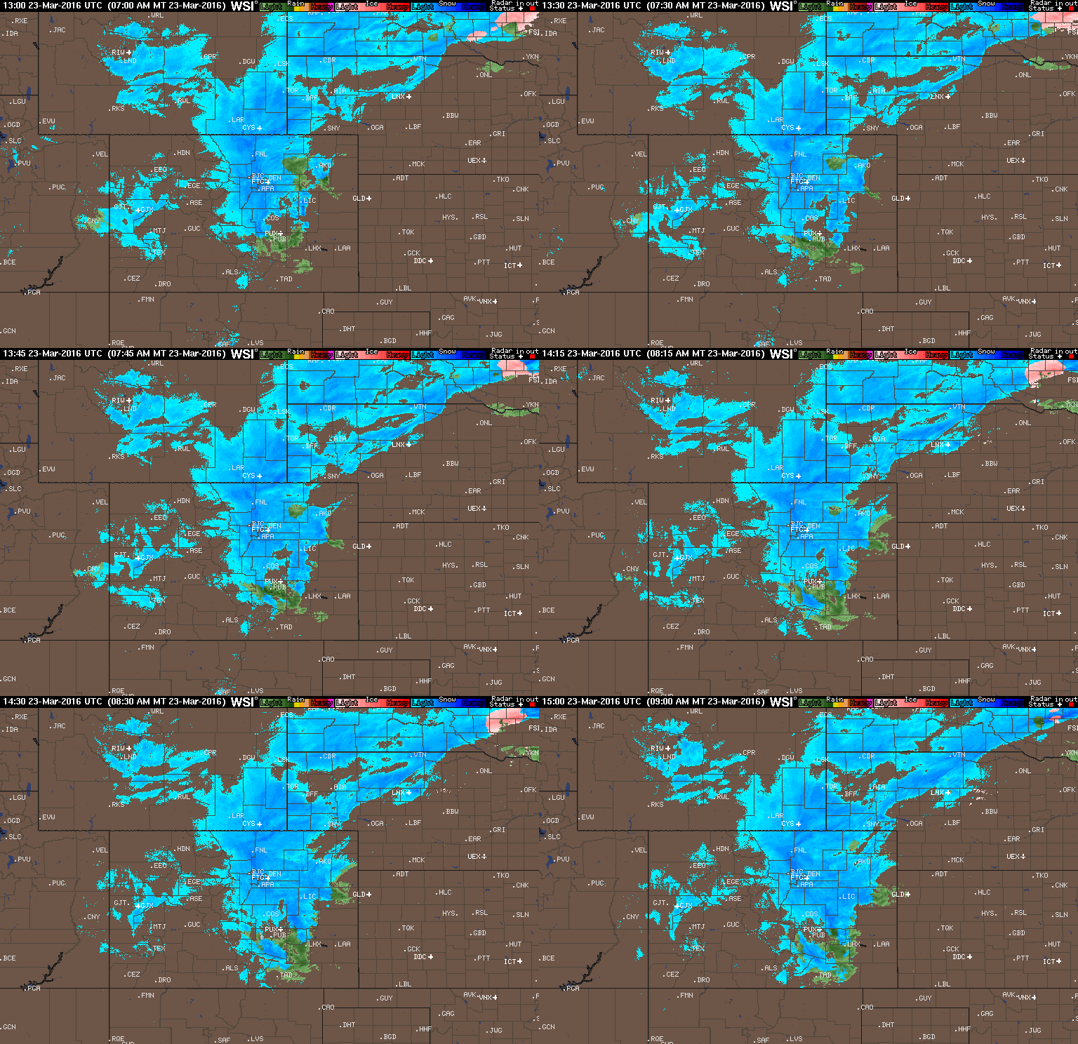
A few big changes in the models in the eleventh hour last night brought the threat of heavy snow westward into the Boulder area. How much more is going to fall? Read on to find out.
These posts cover interesting weather phenomena from around the world, and won’t be specific to Boulder County. However, Earth is very diverse in the world of weather, so you will surely learn a thing or two.
A few big changes in the models in the eleventh hour last night brought the threat of heavy snow westward into the Boulder area. How much more is going to fall? Read on to find out.

On Saturday, the NHL’s Stadium Series continues in downtown Denver as the Avalanche host their long-time rival, the Detroit Red Wings, at Coors Field. Many locations across northeast Colorado will be flirting with record heat, possibly making tomorrow’s game the warmest outdoor regular season NHL game ever played. Read on for our full forecast!
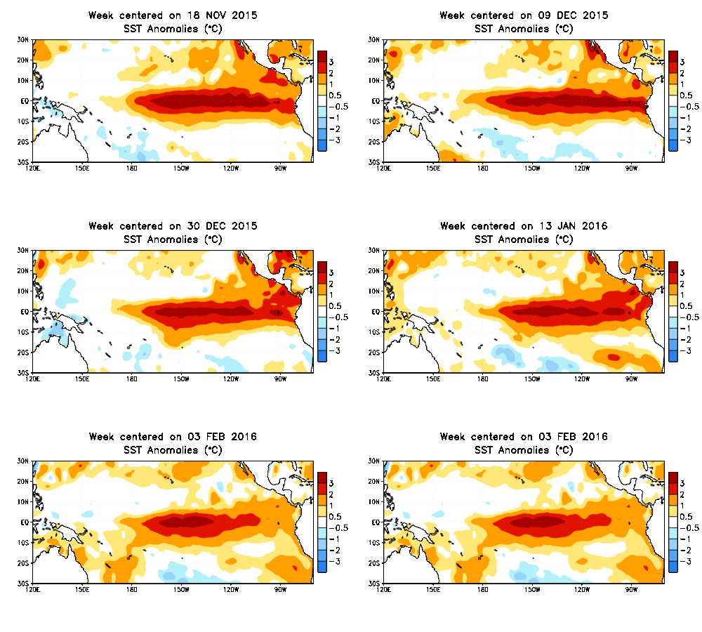
On paper, the 2015-16 super El Niño became everything that it was forecast to be, with water temperatures across the equatorial Pacific Ocean warming to near-record levels. However, the location and extent of the warming, and the global impacts, have been anything but typical. We discuss how well our last El Niño forecast verified and the outlook for the remainder of our winter season. What can Boulder expect in the way of precipitation, snowfall, and temperatures heading forward? Read on to find out.
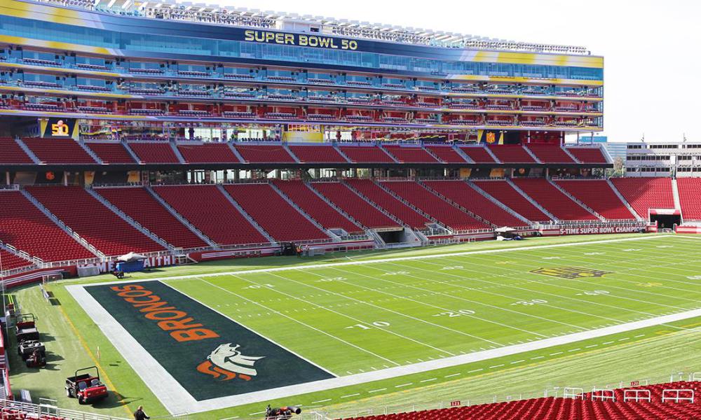
Will the Broncos be battling inclement weather in addition to Cam Newton and the Carolina Panthers in Super Bowl 50? We provide a brief forecast for tomorrow’s Big Game in Santa Clara, California.
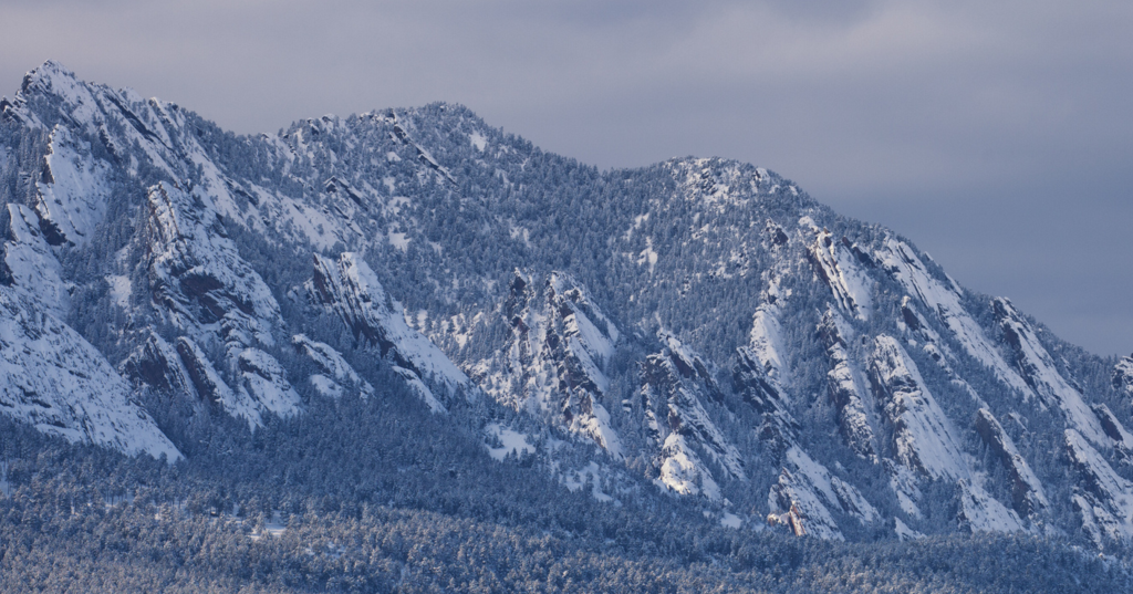
Two weekends in a row, forecast models get to pat themselves on the back for accurately predicting major snowstorms more than seven days in advance. While this is a great showcase for the advancement of modern numerical weather prediction, it shouldn’t be considered a common occurrence. Model uncertainty, especially that far in advance, is still very large. After all, weather is the poster child for chaos theory!
As this week’s storm slid across the North Pacific Ocean on it’s way to Colorado, we were hesitant to inject any definitive snowfall amounts into our forecasts. Remarkably, looking back, if we had to issue a forecast a week ahead of time, it wouldn’t have looked all that different from our snowfall map the day before. We explain why this storm was a relatively easy forecast, and issue a few words of caution as we head through the second half of our winter season.
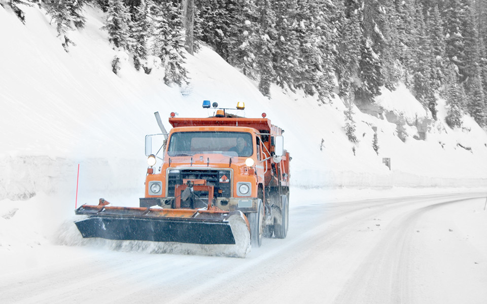
Over the last 48 hours, little has changed with the storm. The Front Range is still on track to pick up a decent dumping of snow on Monday, with amounts and timing starting to become a little bit more clear. Read on for our current thoughts, as of Friday evening.
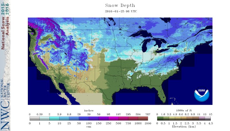
Following a mild weekend, the week ahead will be dominated by mostly sunny conditions across the lower elevations, with a significant warm-up likely to end the week. Read on for our full forecast!
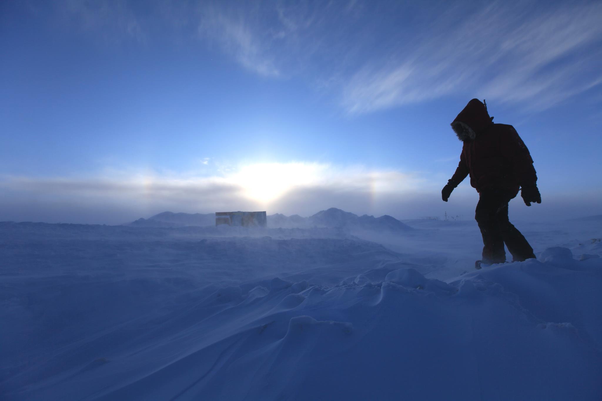
In this third, and possibly final portion of the Life Below Zero series, I cover the perilous flight from Iceland to Greenland, some of the nuances of life on the Ice Sheet, and my unexpected departure from Greenland due to medical concerns.











© 2026 Front Range Weather, LLC
You must be logged in to post a comment.