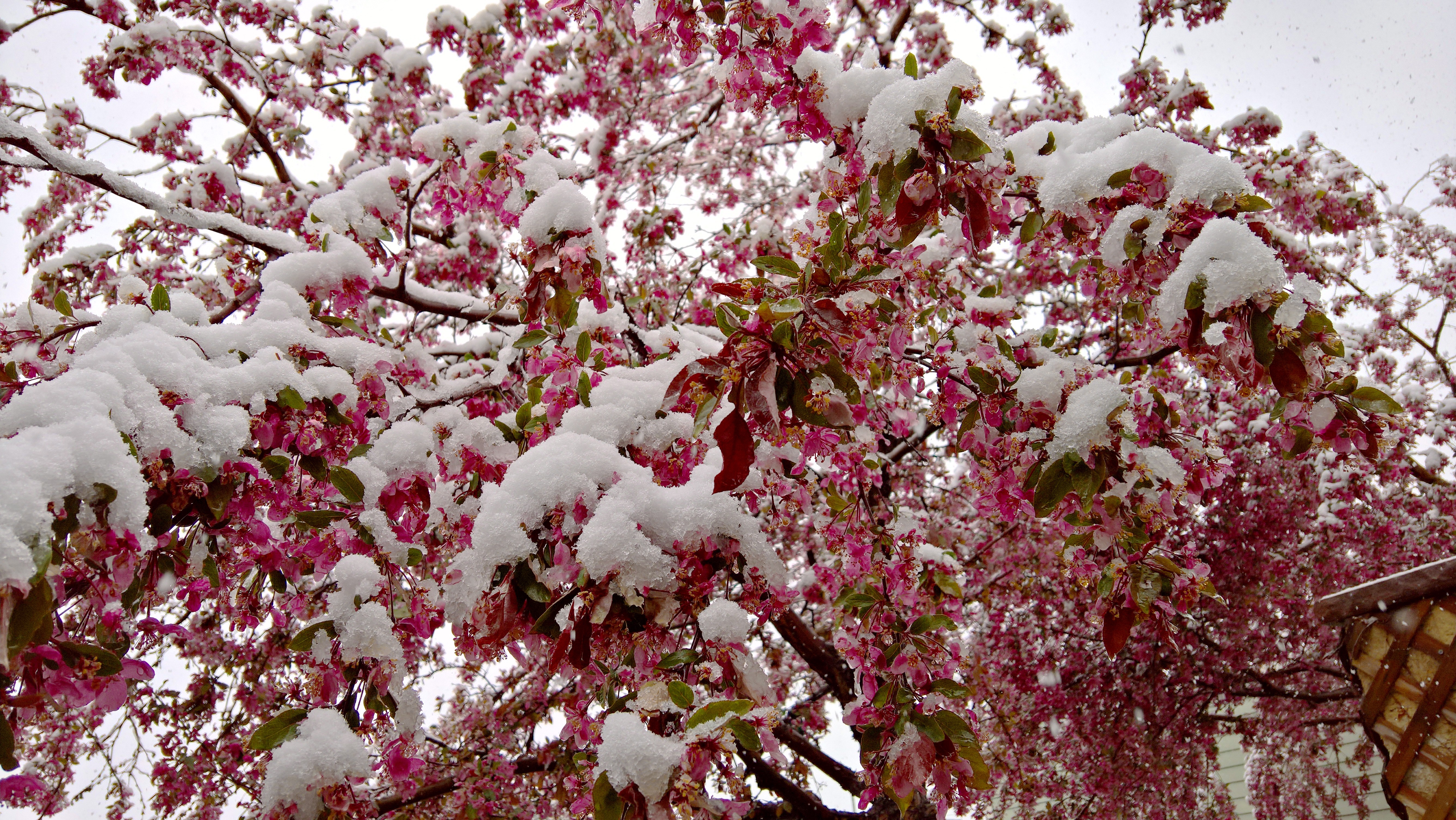
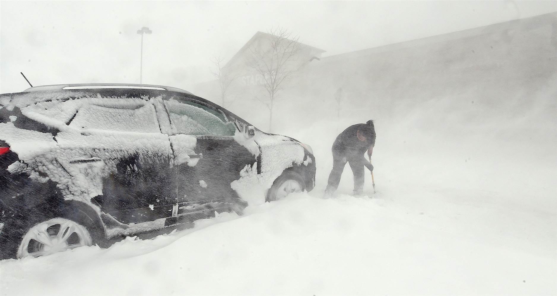
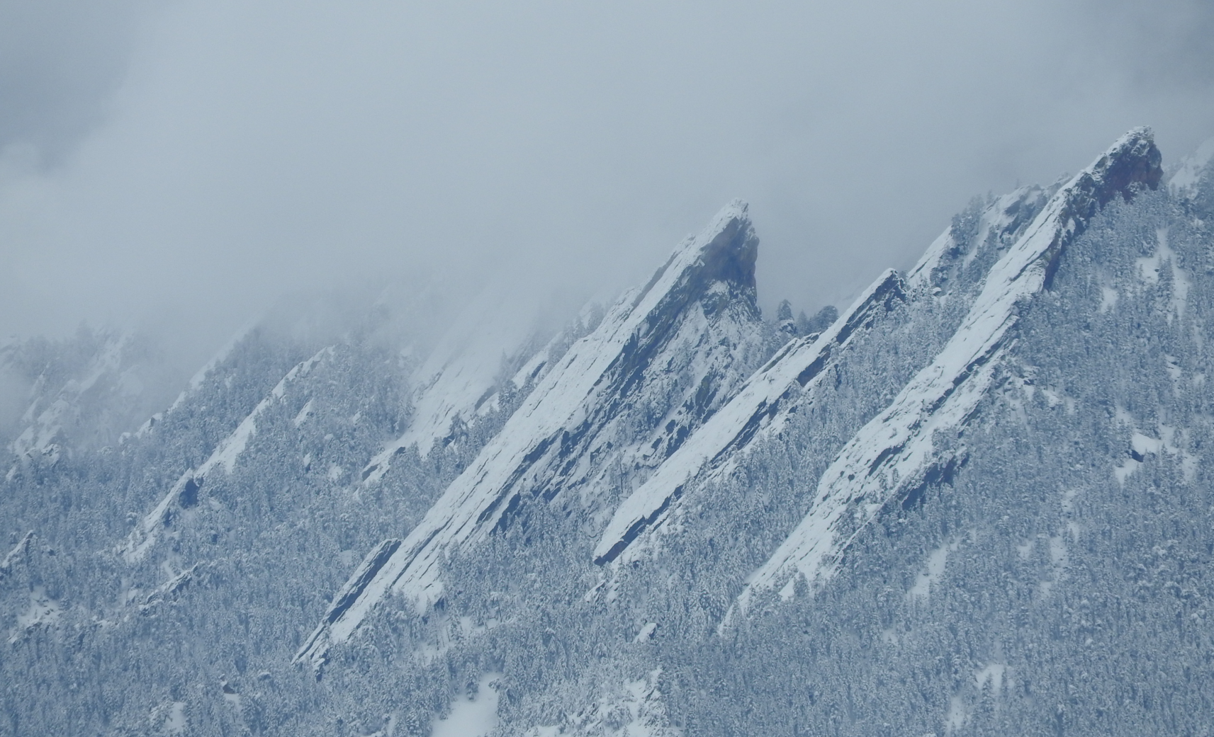
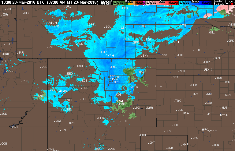
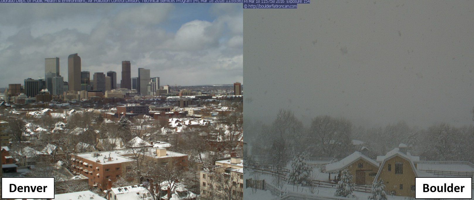
We recap last week’s two snow events, examine where March 2016 fits into Boulder’s history, and look forward to what’s shaping up for April.
These posts take a look back at recent weather events, like snow storms or severe weather outbreaks, and evaluate how the forecast played out. We evaluate how well the models predicted what actually occurred, and offer insight into what can be learned and applied moving forward.

We recap last week’s two snow events, examine where March 2016 fits into Boulder’s history, and look forward to what’s shaping up for April.
After a taste of snow this afternoon, it will be right back in the forecast for tomorrow as a weak system slides southward across the state. Read on for timing and amounts.
Less than ten hours after the mercury hit 70 degrees in Boulder, heavy wet snow was already piling up in the midst of another classic Front Range snowstorm, one that turned out to be Denver’s biggest in nearly a decade. There’s no camouflaging the utter forecasting disaster that transpired. We’ll definitely own up to it, do our best to summarize this historic blizzard, and outline the factors that contributed to the storm’s last-minute explosion!
A few big changes in the models in the eleventh hour last night brought the threat of heavy snow westward into the Boulder area. How much more is going to fall? Read on to find out.
The March sun has already made its presence known, quickly working to wither away yesterday’s dumping of snow. We review the storm totals from across the region, and reveal when we’ll return to those spring-like 70’s (spoiler: it’s shockingly soon). We’re also already tracking our next potential snow event. Read on for details.
Though much of the country associates mid-March with springtime, the Front Range cannot. We are smack in the middle of what is normally our snowiest month of the year. Today is a prime example. As of 8:00am, Boulder is approaching a foot of snow. When will it come to an end and how much more snow can we expect today? Continue to find out.
If you are sick of the warmth and lack of decent skiing, this week’s weather will be welcomed. The focus for the week ahead will be a slow-moving trough which takes hold across the center of the country. This will bring an extended period of cooler weather to the region and heavy snow to the Mountains. We’re also monitoring a chance of snow for the Plains towards the end of the week. Read on for our full forecast.
This week’s weather begins cooler but seasonal with a chance of a rain/snow mix. Don’t worry though. Warmth returns later in the week with near 70-degree temperatures. Read on for more in-depth forecast discussion.
© 2026 Front Range Weather, LLC
You must be logged in to post a comment.