
We hope you enjoyed the snowy and cold Veterans Day holiday! We first review the totals from the light snow event yesterday, then take a look at the weather transpiring the rest of the week. Things get interesting just in time for the weekend!
Category: Verification (Page 31 of 53)
These posts take a look back at recent weather events, like snow storms or severe weather outbreaks, and evaluate how the forecast played out. We evaluate how well the models predicted what actually occurred, and offer insight into what can be learned and applied moving forward.
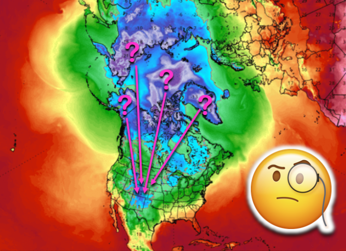
Using a technique called reverse trajectory analysis, we step back in time to see where the bitter cold air this week originated from. We also explain why we believe the odds of another Arctic intrusion into the United States are elevated during the coming week.
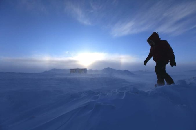
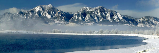
From start to finish, the early season Arctic airmass which overtook eastern Colorado this week has been truly remarkable! The prolonged period of fluffy snow and historically cold temperatures may not be matched the rest of this winter. We take a look back at the wild ride Mother Nature took us on over the last five days and check the snow totals from the second snow event wrapping up Wednesday morning.
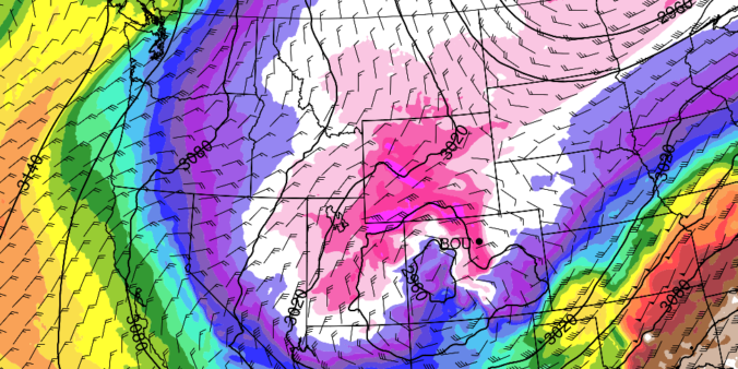
There’s no rest for snow-lovers these days! Just as one snowstorm comes to an end, another one is already taking shape to impact the Front Range Tuesday into Wednesday. We take a look at snow totals from the first wave and discuss the evolving forecast for part deux!
UPDATE (7:00 PM Mon 10/28/19): Added our official snowfall forecast map to the end of the post!
PREMIUM UPDATE (7:00 AM Tue 10/29/19): We do a quick check on how the forecast looks this morning as snow begins to fall and bitter cold temperatures push in from the north. Click HERE to read.

As advertised, Wednesday night’s winter storm was a quick-mover! From the first snowflakes to the last ones, only about eight hours elapsed as the tightly-wound storm passed across Colorado. What it lacked for in duration, it made up for in intensity…in some areas. We take a look at the highly-variable snow totals from across the Boulder and Denver area and provide a brief post-mortem on the now-departing storm system. Continue reading
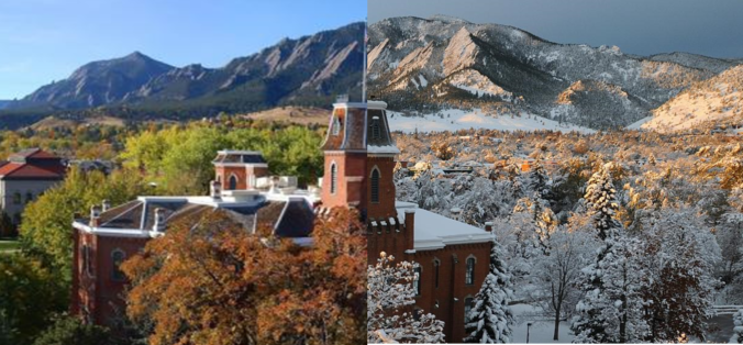
Right on schedule, a series of heavy snow bands progressed across the Front Range Thursday morning producing the season’s first snow for everyone alongside record cold temperatures. We take a look at snow totals and the impressive temperature records from across the area. We also announce the winners of our 2019 First Snow Contest.
Thanks to everyone that entered our 2019 First Snow Contest. We briefly review the entries, which actually favor a later date than Boulder’s climatology would suggest. Contest prizes and recognition will be awarded in the days following our first dumping of snow, BIG or SMALL!
The week begins warm and sunny, but don’t be fooled as an autumn cold front is looming. Our coldest day in more than four months is developing for Tuesday alongside low clouds and drizzle. However, the end of the week will see above normal temperatures return.

Live View of Boulder

Current Conditions

Live Radar

Recent Premium Posts

BoulderCAST Daily – Tue 06/02/26 | Storms Reload This Afternoon, But With Noticeably Less Bite
❄️ Monday delivered lots of hail to northeast Colorado, with one supercell tracking …
BoulderCAST Daily – Sun 05/31/26 | Dry and warm today but rain chances increase this week
🌦️ Overall dry and warm Sunday, though cannot rule out a very widely …
BoulderCAST Daily – Sat 05/30/26 | A stray shower today as most activity resides well east of Denver
🌦️ Spotty showers today, mainly well east of the Denver Metro area, where …
3-Day Forecast

Trending Content

© 2026 Front Range Weather, LLC