Category: Tropical Weather (Page 3 of 19)

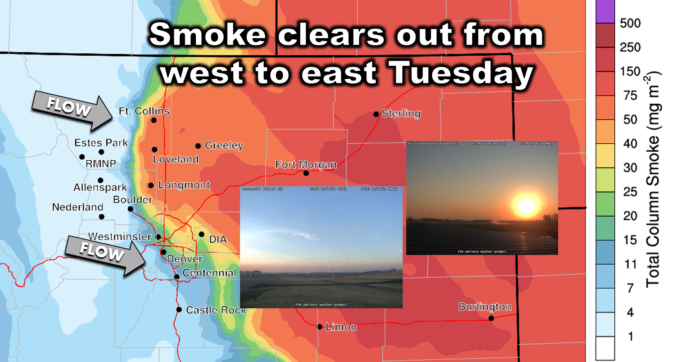
The Front Range will unfortunately see a continuation of unseasonably warm and bone dry weather this week. With a strong ridge of high pressure parked over the region, temperatures will remain summer-like in the lower 80s for the most part. While a couple of weak cold fronts may bring slight temperature drops, there will not be any precipitation. Wildfire smoke from neighboring states will intermittently affect our air quality. We also look ahead to a pattern shift next week which should bring welcomed changes. Read on for all the details.
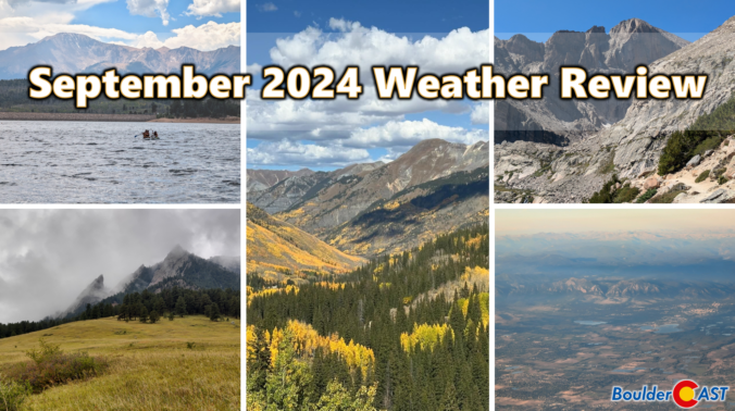
September 2024 Graphical Weather Review: Yet another warm & dry month with further drought expansion in the Front Range
September was an exceptionally warm month in the Front Range, with most areas landing more than four degrees above average. This was our fourth consecutive month that finished on the north side of normal. Outside of a single soaking rain event, the month was also extremely dry with drought expanding further across the area. Here’s a quick and colorful graphical recap of our weather during September and how it relates to climatology.
This week’s weather will once again be excruciatingly quiet in the Front Range. It’ll be a roller-coaster ride in temperatures from the 70s to around 90 degrees, but no rain is in the forecast as high pressure ridging keeps things totally dry. Two dry cold fronts will pass through the area — one on Monday and another later in the week, but this won’t prevent us from nearing record heat on Wednesday. We also discuss the potential for tropical development in the days ahead and take a look at the devastating aftermath of Hurricane Helene in North Carolina.
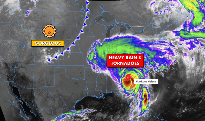
BoulderCAST Daily – Fri 09/27/24 | A slightly cooler end to the week in Colorado as Helene continues to batter much of the eastern USA
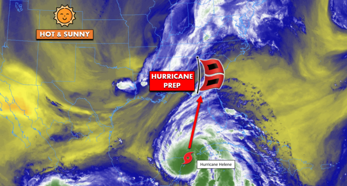
*Premium* BoulderCAST Daily – Wed 09/25/24 | Near-record heat in the Front Range the next few days, Helene to impact Florida tomorrow as a massive major hurricane
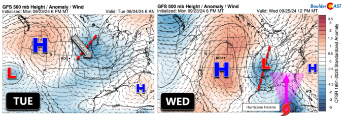
*Premium* BoulderCAST Daily – Tue 09/24/24 | Beautiful & seasonal today, but warming up the rest of the week with no rain in sight
The Front Range experienced its first significant rainfall in five months, with some areas receiving up to an inch of rain over the weekend. The start of the work week will be relatively cool. However, a strong ridge pattern known as an omega block will bring warm and dry conditions from Wednesday onwards, with temperatures rising into the 80s and potentially reaching record highs by Thursday. While there is no hope for any snow in our forecast yet, our 10th Annual First Snow Contest will open to entries later this week. Read on for all the details.
© 2026 Front Range Weather, LLC

