


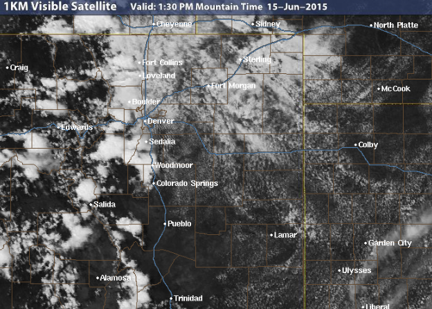
We are now approaching the two month mark of a very active weather pattern across Colorado. However, this week looks to be quieter as the main storm track finally shifts to our north.
Category: This Week in Colorado Weather (Page 71 of 71)
These weekly forecast posts are published EVERY Monday morning and provide a general overview of the atmosphere and the weather conditions for the week ahead in Front Range Colorado. We give you a heads-up on the major short-term weather features and anything looming down the road.
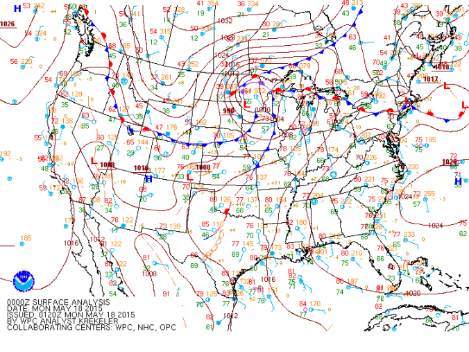
After a weak cold frontal passage last evening, we are mostly tranquil for today outside of a few spotty afternoon storms in Boulder County. The weather this week will feature another warmup into the 80’s. By late week, we turn to a cooler and unsettled weather pattern.

With Boulder now less than two inches away from the all-time monthly precipitation record for May, unsettled weather will continue through the week, with our next major storm system arriving by Friday.
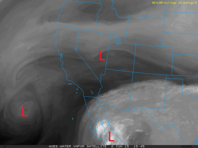
The week ahead will feature a couple upper-level low pressure systems pushing into Colorado from the west. The first system comes in Tuesday, with a second one arriving for the weekend. This will lead to the chances for showers and occasional storms as well. Mixed in between these systems will be a slight warming trend by week’s end.
The second episode of the BoulderCAST Podcast, titled Rain Rain Go Away, is now available! Why do tornadoes typically struggle to form in/near the mountains? Was the 2013 Boulder Flood related to a tropical cyclone? Listen to find out!

The first full week of May looks to be rather unsettled, as a series of upper-level low pressure systems advance through Colorado. The first pushes in from the southwest on Tue/Wed, while a more potent storm system comes in from the west, affecting the forecast for the latter half of the week, including the University of Colorado’s Commencement.
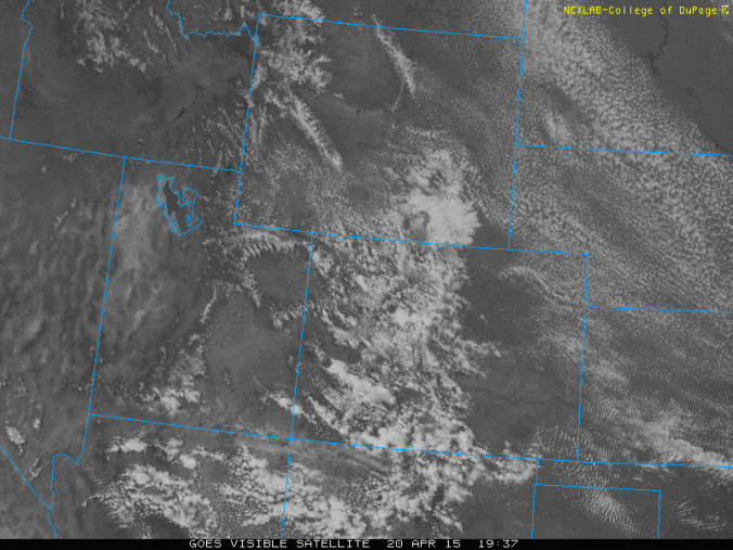
After a rainy Sunday where Boulder received more than one inch of rainfall and the mountains 8 to 16″ of snowfall, a gradual warming trend is in store this week with the potential for near 80 come Thursday.
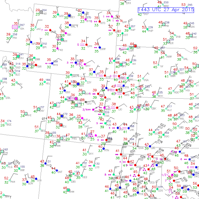
The forecast for this week features a series of backdoor cold fronts moving through Eastern Colorado. A low pressure system moving ashore from the Pacific will also impact the forecast Thursday into Friday.

Live View of Boulder

Current Conditions

Live Radar

Latest Smoke Forecast

Recent Premium Posts

This Weekend in Colorado Weather: Storm Chances Shrink While Heat Surges Into the Weekend
🌧️ Monsoon finally delivered Wednesday: Boulder and Denver both snagged a bout of …
BoulderCAST Daily – Wed 08/26/26 | Front Range Braces for a Few Severe Storms with Large Hail Today
🌩️ Severe storms possible — We’re still looking at scattered thunderstorms developing later …
BoulderCAST Daily – Tue 08/25/26 | Cooler with More Run-of-the-Mill Storms Today, But Big Hail Could Be an Issue Tomorrow
🌤️ Monsoon flow persists under a record-strong New Mexico ridge, keeping moisture aimed …
3-Day Forecast

Trending Content



© 2026 Front Range Weather, LLC