Apologies for the delay, but with Boulder’s record-shattering latest first snow of the season officially in the bag back on November 29th, it’s time to announce the winners of our 11th Annual First Snowfall Contest. Were you one of them?
Category: Site News (Page 1 of 9)
The posts bring attention to new site features or useful updates to features that already existed.
11th Annual BoulderCAST First Snowfall Contest
Ready to toss that first snowball of the season? Maybe you’ve already waxed your skis, shelled out for that pricey Epic Pass, or jumped the gun on snow tires (again). Well, hold onto your mittens—Boulder’s first big snow could be just around the corner, or not! Mother Nature has been playing tricks on us lately. In the past five years alone, we’ve seen both the earliest and latest first snows on record. But, what will 2025 bring? That’s where you come in.
We’re kicking off our annual First Snow Contest! Please take a look at Boulder’s snowfall history within, then submit your best guess for when the first measurable snow (≥0.1″) will fall in Boulder—and how much will accumulate. The closest guesses will win a selection of prizes!
*This contest is now closed to entries*
This week’s weather in the Front Range will be a bit of a rollercoaster. After Sunday night’s soaking rain and snow, Monday kicks off with fog, drizzle, and stubborn clouds before a midweek warm-up brings back the sunshine. But don’t get too cozy: frost season is knocking on the door, and snow signals are starting to flicker in the long-range models. Read on for the full breakdown, including what to expect today, what time rain showers will return later in the day Monday, and when late-season gardeners should start watching for frost and snowflakes.
P.S. Don’t forget to submit your entry to our 2025 First Snow Contest which closes Tuesday night at midnight!
Hint: All of the clues are related to Boulder, Denver, and/or Colorado weather. OK, well most of the clues…
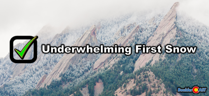
Winter Storm Recap: First snow of the season is in the books for most western suburbs, including Boulder, but it wasn’t much…
Many western suburbs of Denver experienced their first snow of the season last night, with Boulder officially recording 0.2 inches. The colder, higher elevations to the west saw a more significant dump, up to 15 inches in some areas. We briefly recap the underwhelming first snow of the season and announce the winners of our 2024 First Snowfall Contest.
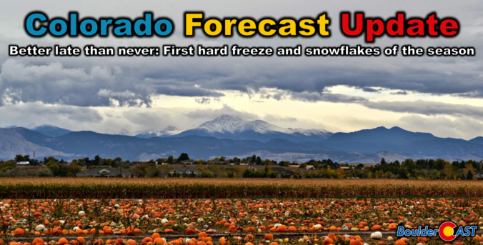
Colorado Forecast Update: Plan now for the “one-two punch” of our first snow and first hard freeze of the season!
Get ready, Colorado! The first snowflakes and a hard freeze of the season are on their way as this dramatic shift in weather across the state continues. Better late than never, right? We discuss when the snow will begin, how much could stick on the grassy surfaces, and when to expect the end to the 2024 growing season as temperatures are sure to plummet below freezing. We’re also tracking another potential snow event early next week. Here’s the latest.
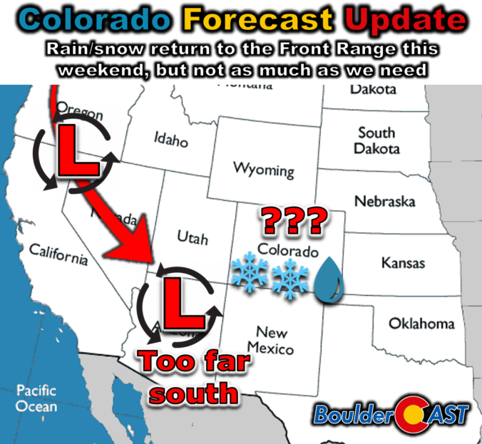
Colorado Forecast Update: After a month-long dry spell, precipitation will finally return to the Front Range this weekend, but not nearly as much as we need…
It’s been quite a long time since our last measurable precipitation in the Front Range, but that will change abruptly this weekend with the arrival of our next autumn storm system. Unfortunately the slow-moving low pressure will dive too far south into Arizona, largely fizzling out before ever reaching northeast Colorado. Nonetheless, it will bring a bit of rain, snow and much colder temperatures to our area for a few days. Read on for our latest thoughts on how the unsettled weekend ahead will play out. We also briefly review the entries to our 2024 First Snowfall Contest with predictions actually trending towards a later date than Boulder’s climatology would suggest (color us shocked!). There will indeed be some snowflakes in our forecast domain this weekend, but Boulder is not expected to see accumulating snow.
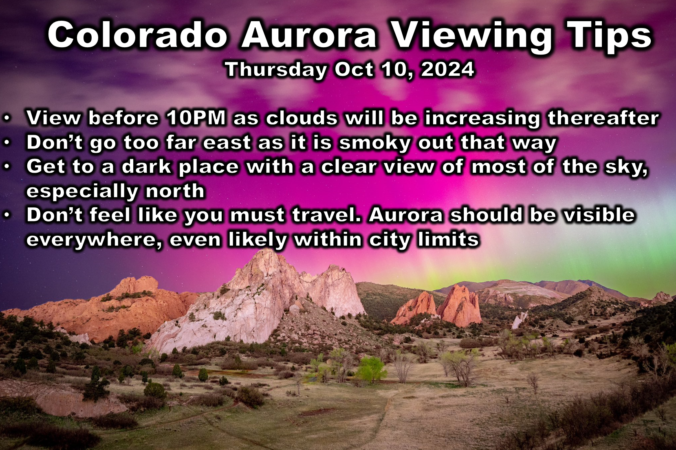
Colorado Aurora Update: The Northern Lights are already roaring and the Front Range should have excellent viewing for several hours after sunset Thursday!
All systems are a go for an excellent evening of aurora viewing in Front Range Colorado as the strongest solar storm of 2024 unfolds tonight (Thursday October 10th). We take a look at the latest solar particle observations which are already higher than they were back in May and also what type of weather will negatively impact tonight’s viewing in our area. Read on for our team’s recommendation on the best time and place to head out to take in the Lights tonight!
© 2026 Front Range Weather, LLC

