

Category: Premium Content (Page 63 of 450)

This content is for Premium Members only.
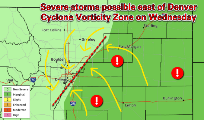
Premium BoulderCAST Daily – Wed 04/23/25 | Limited rain chances today, mostly east of Denver where a few storms could turn severe

Today will kick off a pattern shift across the area that will seed the return of showers and thunderstorms to eastern Colorado. In the mid levels (below left), southwest flow is in full force today ahead of a weak disturbance in the Pacific Northwest. In the low levels (below right), a cold frontal passage overnight has increased moisture availability, with …

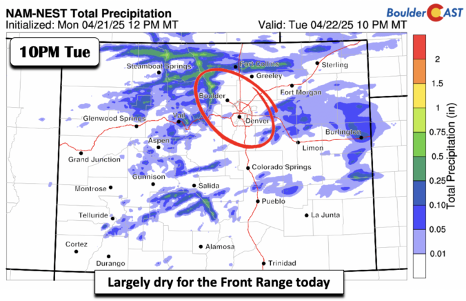
Premium BoulderCAST Daily – Tue 04/22/25 | Scanty shower chances with lower 70s

The flow at mid-levels is from the west and southwest today. The flow will bring warm weather but also the threat of some low-end storm chances. Those storm chances will be limited at best, as we will discuss shortly. Highs will top out in the lower 70s this afternoon. Rain chances, as per our NowCAST, will be some 5 percent …

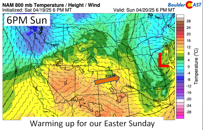
Premium BoulderCAST Daily – Sun 04/20/25 | Warming up for a gorgeous Easter Sunday

The weekend ends on a warm note, perfect for our Easter Sunday. The low pressure system that has been slowly departing since last evening will continue to progress eastward today and tonight, reaching Iowa later this evening. The system will bring the threat of severe weather across the Mid Mississippi Valley into late tonight as it sweeps a cold front …

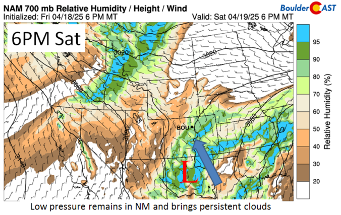
Premium BoulderCAST Daily – Sat 04/19/25 | Snow has ended, but remaining cloudy and chilly

The snow has ended, but we'll remain mostly cloudy for much of our Saturday. The area of low pressure which brought us the snow will be moving into southern New Mexico, then on to the Texas panhandle later tonight and Sunday morning. The image below shows that while the lift will shift south of us today, enough moisture coming in …

Premium BoulderCAST Daily – Tue 04/15/25 | Warm & mostly quiet the next few days, but the soggy (and snowy!) late-week storm will change that

Anegatively-tilted mid-level ridge axis continues to move towards the Front Range this morning from the southwest. Ahead of this axis, very dry west-northwest flow was present the back half of Monday and will remain here through the morning with continued full sunshine for us. However, once the axis passes later today, our flow direction will shift to southwesterly bringing in …

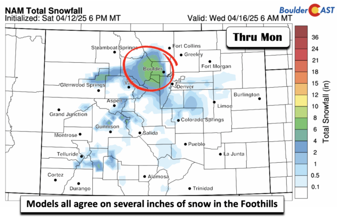
Premium BoulderCAST Daily – Sun 04/13/25 | Showers changing to light snow on the Plains; Frontal/Jet forced snow in the Foothills (Updated)

Arather dynamic and complex storm system is taking aim on the region later this afternoon and tonight. Aloft, a warm and moist southwest flow will be in place. A series of upper-level disturbances will also traverse the area in the southwest flow. Combined with that, a cold front will sag south later this afternoon and promote frontogenetical forcing for potential …

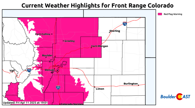
Premium BoulderCAST Daily – Sat 04/12/25 | Red Flag Warning in Effect Today

ARed Flag Warning is in effect for today due to the combination of very low RH levels, hot temperatures, gusty winds over 30 mph, and dry fuels. Extreme fire behavior could result today as a result. Westerly downslope flow will be in place today, along with very anomalously hot weather for mid April. Some guidance suggests gusts over 30 mph …

« Older posts Newer posts »