Category: Premium Content (Page 225 of 452)

This content is for Premium Members only.
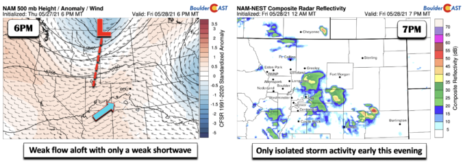
BoulderCAST Daily – Fri 05/28/21 | Highs in the low 80’s with only isolated storms later today

ADetailed Forecast Discussion: t the mid-levels of the atmosphere today, we have a trough of low pressure near the Montana/Canada border, with a trough axis extending south from the system into Utah. Broad southwest flow exists over Colorado, albeit somewhat weak. The pattern today is largely characterized by weak forcing overall, though a few subtle shortwaves are forecast to track …

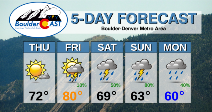
BoulderCAST Daily – Thu 05/27/21 | Mostly sunny today, turning soggy for the holiday weekend

TDetailed Forecast Discussion: he anticipated cold front reached Boulder last night around 11PM following a drab and rather dry day across the Front Range. Thunderstorms initiated in the afternoon near Greeley and Fort Morgan as expected, but did not explode as quickly as models were showing, likely due to the extensive cloud cover blanketing northeast Colorado on Wednesday. As the …

BoulderCAST Daily – Wed 05/26/21 | A slight chance of a storm, but tornadoes and large hail for far northeast Colorado

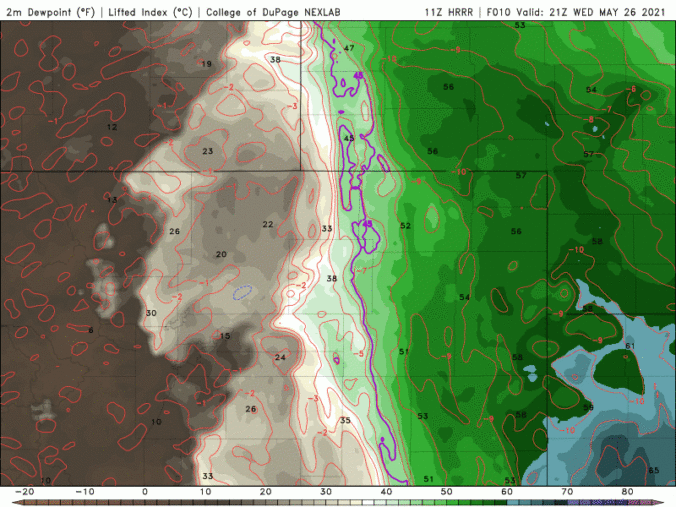
ADetailed Forecast Discussion: n active severe weather day is taking shape in the northeast corner of Colorado today! However, that threat does not encompass the immediate Metro area. In fact, we'll be lucky to see any rain at all with a drier, more stable airmass situated across our area and increasing clouds helping to reduce solar heating through the day. …

BoulderCAST Daily – Tue 05/25/21 | Mostly sunny & mostly dry

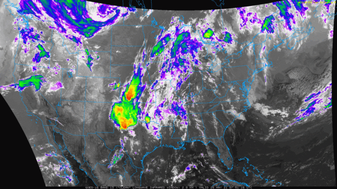
ADetailed Forecast Discussion: relatively quiet day is expected for this Tuesday as Colorado rests under fairly dry westerly flow. Two low pressure systems are present across the West. One along the Canadian border and another in the Pacific Northwest. Both of these will move due east in the coming days, largely bypassing Colorado to the north. This is where the …

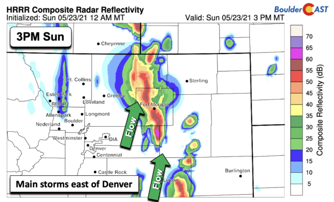
BoulderCAST Daily – Sun 05/23/21 | Drier air works in today…only slight chance of storms

TDetailed Forecast Discussion: he mid and upper-level trough which has been sitting to our west for the better part of the past week will be moving north today. It is currently out over northwest Utah and will track north into central Idaho this evening. As it does so, it will bring with it a north-south oriented jet streak upwards of …

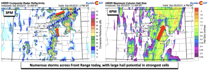
BoulderCAST Daily – Sat 05/22/21 | Severe thunderstorms producing large hail

TDetailed Forecast Discussion: rough of low pressure that is still off to our west will be strengthening today. The system will become as meteorologists say, "negatively tilted". Don't get hung up on this term, it simply means that the system is taking a more east-northeast track. Today, the main system is off in western Idaho, but a secondary low pressure …

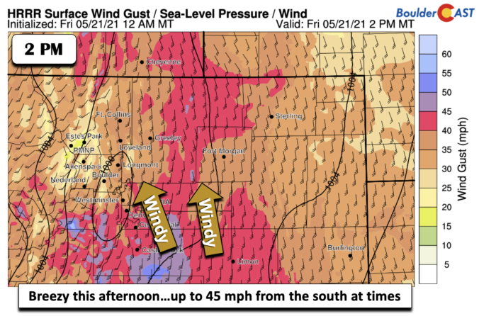
BoulderCAST Daily – Fri 05/21/21 | Breezy with just a slight chance of a shower or storm

EDetailed Forecast Discussion: xpansive mid-level trough of low pressure centered over east-central Nevada (below) will continue to impact our weather here in the Front Range. The system will rotate every so slowly eastward later this afternoon and tonight. Largely, this eastward pivot will result in downslope flow for us, keeping us largely dry, but we can't rule out a stray …

« Older posts Newer posts »