Category: Premium Content (Page 224 of 452)

This content is for Premium Members only.
BoulderCAST Daily – Sun 06/06/21 | Increasing storm chances today

YDetailed Forecast Discussion: esterday's weather showed up very nicely on satellite imagery (below right). The image below is taken around 5PM yesterday evening. The area to focus on is highlighted in blue. Note the many cloud tops oriented west to east over western Colorado. Note also, that there is very little in the way of clouds over eastern Colorado - …

BoulderCAST Daily – Sat 06/05/21 | Temperatures reach 90 with a 20% chance of storms

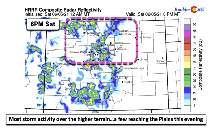
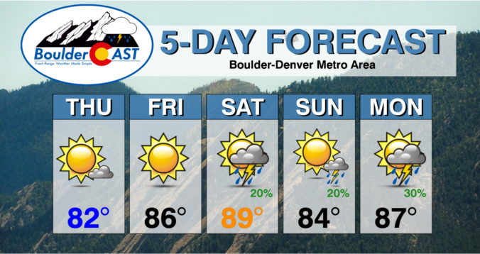
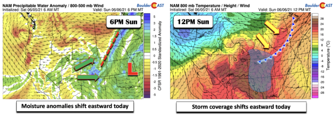
NDetailed Forecast Discussion: ot much has changed in the last 24 hours regarding the forecast for today. The airmass warms a tad from Friday, resulting in highs this afternoon climbing to around 90 degrees before clouds develop later today. A weak shortwave will be sliding west to east into Colorado from eastern Utah (below left). This will enhance storm activity …

BoulderCAST Daily – Fri 06/04/21 | Upper 80’s and Sunny…Storm chances return this weekend

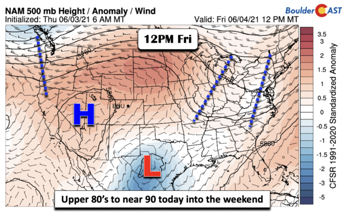
RDetailed Forecast Discussion: idge of high pressure today is centered over southern Nevada and western Utah (below). Consistent with what we experienced yesterday, sunshine will be quite prevalent. The one difference will be warmer temperatures, by about 5-7 degrees as highs approach the upper 80's this afternoon. Of note in the mid-level pattern below is also an area of low …

BoulderCAST Daily – Thu 06/03/21 | Summer is finally here!

GDetailed Forecast Discussion: ood morning and happy Thursday! Dry and warm weather will prevail today and tomorrow under the influence from a strong ridge of high pressure that will be shifting eastward into the Rockies. The center of the high sticks across Nevada both days, but it will flatten out to extend to the central part of the country by …

BoulderCAST Daily – Mon 05/31/21 | A chilly day with isolated drizzle and late-day storms

BDetailed Forecast Discussion: etween 0.75" and 1.5" of rain has fallen across most of the Denver Metro area as of Monday morning. The highest totals were from Boulder to Fort Collins. The rainfall was particularly widespread and intense during the late afternoon and evening yesterday. The radar animation below is from around 3:00PM on Sunday. That's about as busy as …

BoulderCAST Daily – Sun 05/30/21 | Another wet one today with temperatures chilly in the 50’s

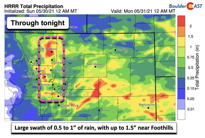
TDetailed Forecast Discussion: oday will be the wettest part of the weekend. The trough of low pressure is now near Baja California, with the trough axis close to the Utah/Colorado border. The lift is stronger today, both from the close position of the trough axis, as well as deeper upslope and moisture (below right). Temperatures before the rain starts will …

BoulderCAST Daily – Sat 05/29/21 | Today starts a soggy pattern through the holiday

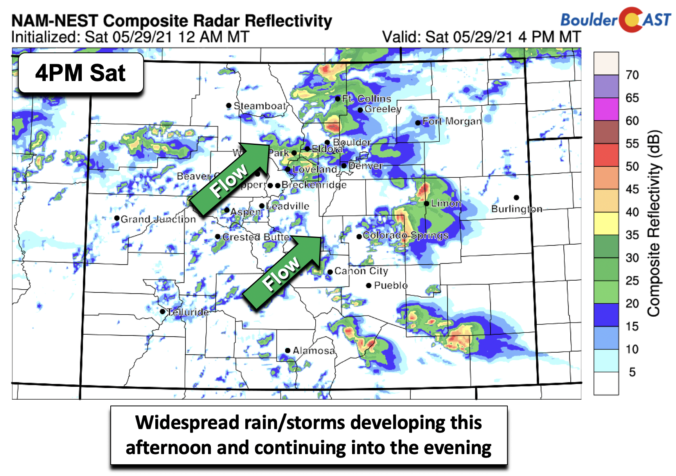
TDetailed Forecast Discussion: oday starts the soggy pattern for the holiday weekend. A cold front more or less has pushed through the Front Range already. However, the main cold air associated with it will arrive later this afternoon and evening (below). As a result, easterly upslope flow will take over today, aiding lift for the rain we will see later …

« Older posts Newer posts »