Category: Premium Content (Page 153 of 451)

This content is for Premium Members only.
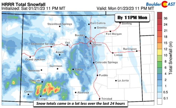
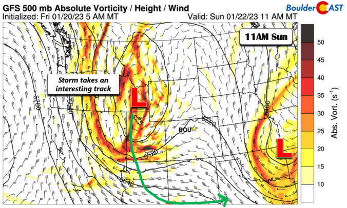
BoulderCAST Daily – Sun 01/22/23 | Snow system shifts drastically with only light snow totals through Monday

What a difference 24 hours makes in weather. Yesterday, nearly all model guidance (minus the NAM) were hinting at a rather impressive snow storm. Since last evening, models have shifted very dramatically toward the other direction, such that amounts are only going to be light. Let's break it all down for you as we go through the post. We had …

BoulderCAST Daily – Sat 01/21/23 | Quiet and chilly today but turning active Sunday night with our next snow storm

Aquiet day today with partly sunny skies and temperatures in the lower 30s. At mid-levels, the system which brought us some snow is departing into Kansas this afternoon. Behind it, a ridge will take shape near northern California and Nevada. Northerly flow will persist over us, keeping us in that chilly pattern at the surface. Our next weather system for …

BoulderCAST Daily – Fri 01/20/23 | Light snow today and tonight but best accumulation south and east of Denver

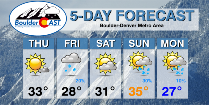
Asouthern stream system near the Four Corners today will track due east into the Colorado/Texas/Oklahoma region, providing a shot of some weak upslope snow showers on the Front Range. The storm will favor mostly cloudy skies and cold temperatures in the upper 20s. Along with the clouds and low temperatures, there will be a shot of snow showers this afternoon …

This Weekend in Colorado Weather: January 19, 2023

Snow has finally come to an end across all of eastern Colorado overnight with the large closed-low pressure pushing off into Kansas and Nebraska. This system brought approximately 24 consecutive hours of snowfall to the Denver Metro area, but most of it was on the lighter side. The official snowfall total in Boulder was 5.8", with 9.2" in Denver (out …

BoulderCAST Daily – Wed 01/18/23 | Light snow will continue through the day, but snow totals will come in low

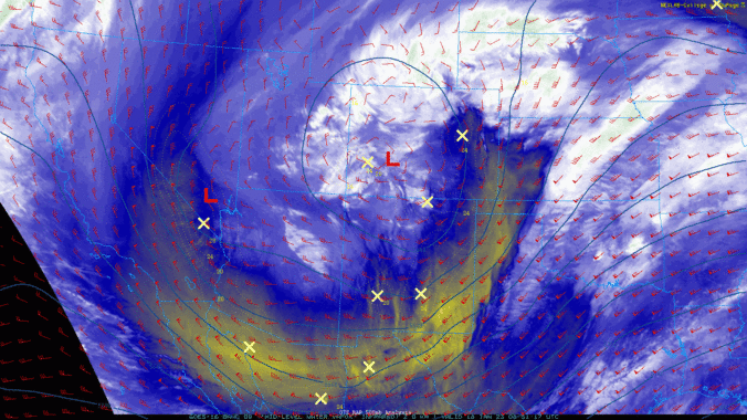
The overnight evolution of the storm ended up leading to a fairly significant swing and a miss for the entire Denver area as the low pressure formed just slightly further north and in a less concentric manner than expected. This essentially put the dreaded dry slot over the Front Range through much of the night, as shown in the GOES-East …

Premium Storm Update – Tue 1/17/23 3:00PM | Snow begins soon with travel becoming challenging this evening into Wednesday

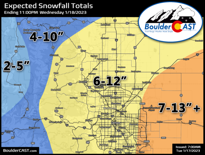
IPREMIUM STORM UPDATE: 3:00 PM Tuesday January 17th t's almost game time, folks! Temperatures are currently in the middle 30s for most of the lower elevations with low clouds and even fog beginning to develop. It's already in the 20s in the Foothills. The first radar echoes from snow are showing up over the higher elevations to the west. Snowflakes …

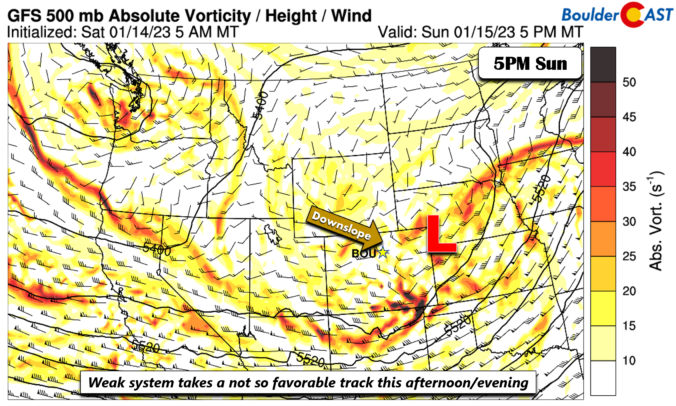
BoulderCAST Daily – Sun 01/15/23 | Light snow showers today, but little accumulation

As we have been discussing the past few days if you have been following our daily forecasts, a weak mid-level shortwave will take a not-so-favorable track in terms of snow chances today/tonight. The system in the latest model runs has come in even lower with snow chances and we'll break that all down for you shortly. The storm tracks from …

« Older posts Newer posts »