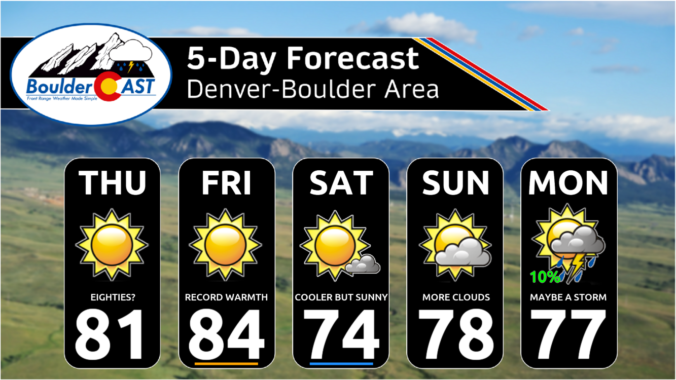
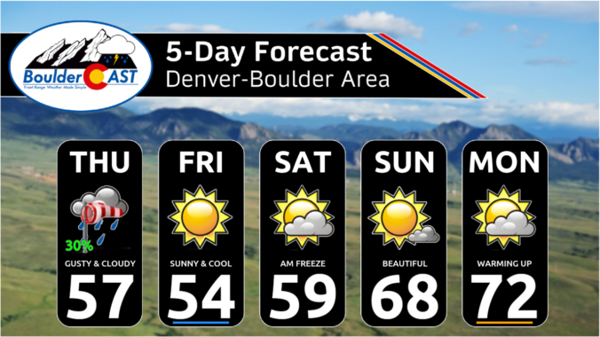
Very pleasant conditions and unseasonably warm temperatures will continue across the Front Range today and Friday as high pressure remains in place over the entire western United States. There will barley be any clouds in the sky over the course of the next 48 to 60 hours with full sunshine expected both days. High temperatures will soar into the low …
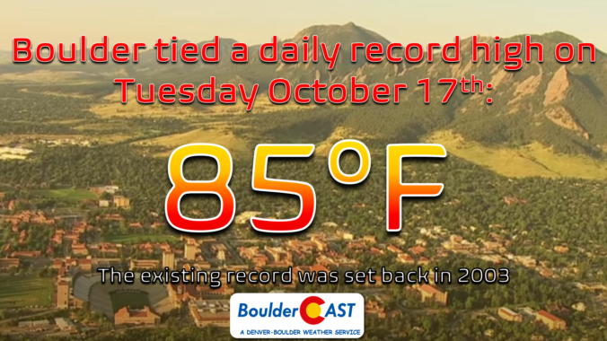
Boulder managed to tie its existing record high for October 17th yesterday, reaching 85°F in the late afternoon hours, the same temperature that occurred on this date back in 2003. Denver was also at 85°F on Tuesday, one degree shy of the record there. The dry cold front blew through right on schedule overnight around 2:00 AM into Boulder with …
Today will be one of the warmest, if not the warmest, days of the week as high pressure aloft and downslope flow combine ahead of a cold front to produce unseasonable warmth across the Front Range for mid October. The mid-level ridge axis is centered directly over Colorado this morning with warm westerly downslope flow just beginning to take hold. …
The ridge axis will slide east today from the far west coast into the intermountain west and central Rockies. A large trough of low pressure will exist over the eastern US - quite the stark contrast. Over the trough in the eastern US, below normal temperatures are expected, extending as far west as the lower Mississippi Valley. In our region, …
The axis between the chilly air and the warmth to our southwest is shifting east a little more today. Yesterday, the chilly air was well entrenched across the Plains. Today, that dome will shift to the east across Kansas. But it will take most of the day to do so. With that, highs will rise some 6-8 degrees from where …
The trough at mid-levels will be shifting into the upper Midwest this afternoon and evening. Before that happens, its influence will still be felt in the morning and early afternoon with a stiff northerly wind at times. These gusts in the morning to early afternoon may gust to 15-25 mph, but should decrease to 5-15 mph by the mid to …
The large and powerful closed-low pressure has already entered northern Colorado overnight with the center currently located near Steamboat Springs. To the north of the low, intense due-easterly upslope is ongoing across parts of Montana and Wyoming. To the south of the low, west-southwest flow is present here in the Front Range. We're technically still in the "warm" sector of …