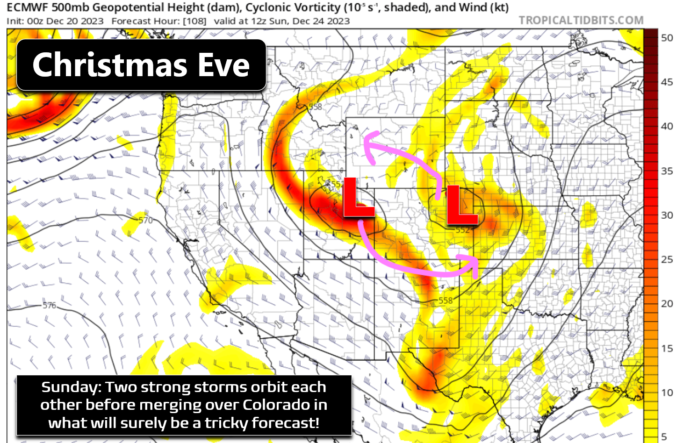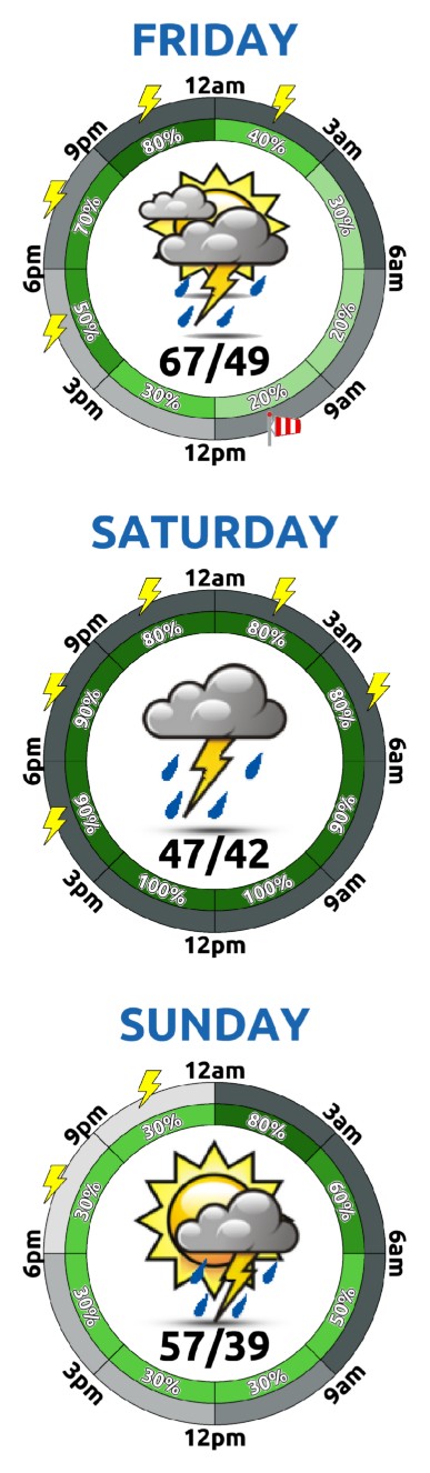


Yesterday's high temperatures were quite toasty in the middle 60s across the Metro area, with Denver leading the way at 67°F, warm enough to tie the record high for the date last set 106 years ago. The high temperature was only 64°F in Boulder, not nearly warm enough to eclipse the existing 69°F record here. Today will be several degrees …
W e've got very little to worry about weather-wise for the next five days or so across the Front Range as various ridges of high pressure reside nearby through the rest of the week. This will keep temperatures warm across all of Colorado, including today when temperatures will push into the low to middle 60s for most of us. This isn't …
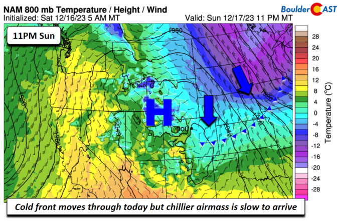
A cold front will be moving through today but the chillier air will be slow to arrive and move through. The front or its pre-frontal trough counterpart will likely move through sometime in the morning or early afternoon. But the main change in the airmass will be tonight with below freezing low-level temperatures advect into the region from the north and …
A a warm downslope flow will ensue thanks to Chinook winds off the higher terrain and Foothills. This will aid temperatures close to 60 degrees this afternoon! A great day indeed! Tomorrow, a cold front will move down from the north and likely move through sometime in the morning. The coldest air will be felt in the northern Great Plains but …
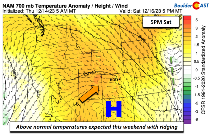
A large dome of high pressure and an associated ridge at mid-levels will build eastward from the southwest US and be in place much of this weekend. The area of low pressure from the past few days will slide off into eastern Kansas. As flow aloft becomes northerly, drier air will work in, spelling out lots of sunshine. Today will be …
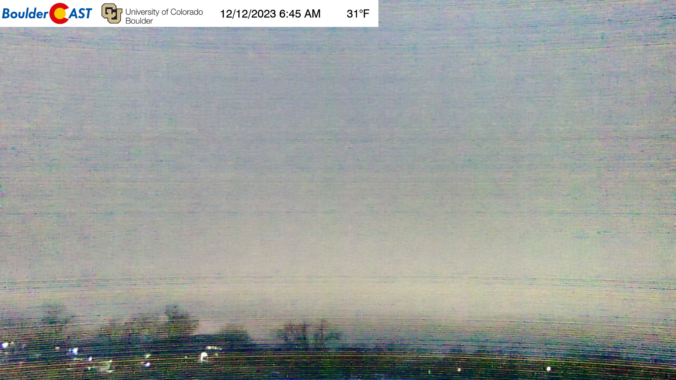
Light snow arrived right on schedule last evening bringing widespread very light accumulations to the Denver Metro area. Snow wrapped up quickly before midnight though, with shallow upslope flow ultimately leading to the development of stratus/fog in the wee morning hours once again. Those low clouds and patch dense fog linger across the area this morning, as seen from the …
A cold front moved in Monday evening and brought shallow easterly flow to the Front Range overnight. There was just enough moisture to spawn low clouds across much of the area, as well as some patchy freezing fog and freezing drizzle in and near the Foothills. The view from Boulder this morning is a gloomy one indeed: Most of us look …