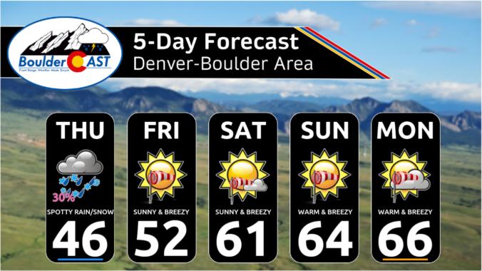
Though it is difficult to tell, the "ongoing" storm system is about to let loose its last hurrah across the Front Range on Thursday as the final piece of the mid-level disturbance drops across northern Colorado during the day. This minor feature can be seen in this morning's GOES-East water vapor animation below --- it's across south-central Wyoming right now. …
Yesterday's high temperature in Boulder was 66°, our warmest reading in over three months (since November 17th). Most of the lower elevations met a similar fate on Tuesday with highs across the board in the 60s for eastern Colorado below 6,500 feet elevation. As nice as the weather was yesterday, all good things must come to an end --- notable …
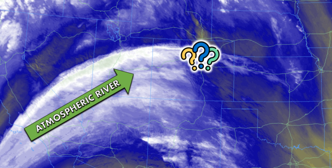
The left-over moisture from an ongoing atmospheric river event in California is surging directly into Colorado and across the Front Range this morning from the southwest. This deep pipeline of subtropical moisture can be easily discerned on this morning's GOES-East mid-level water vapor satellite animation: Widespread rain and snow are falling across California today --- the heaviest rain is expected …
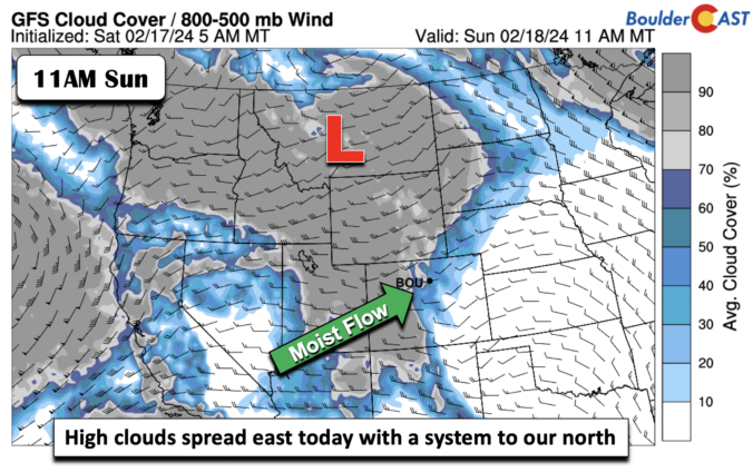
Downslope warming will be taking over today as west-southwest winds propel adiabatic warming from the Foothills/Mountains onto the Plains. Meanwhile, a large storm system churns offshore of California and very cold air is diving into the far NE US. A system to our north and west today from Montana into Wyoming will be bringing a large swath of mid/high-level moisture …
High pressure ridging will build in for the remainder of the weekend from the north and northwest. Meanwhile, the trough axis that brought us snow last night has shifted off into the central to southern Plains of the US. We should expect lots of sunshine today. Temperatures will be on the chilly side and moderated by the fresh snow cover …
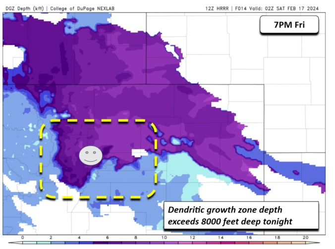
You've know about the snow event for the past several days if you followed our posts, so we won't get too into the details today. But suffice to say, a relatively strong but compact mid-level shortwave will dive southeast into central and eastern Colorado tonight into early Saturday. While there won't really be any addition from an upper-level jet, there …
Today will be predominantly quiet east of the Continental Divide, despite there being a weak shortwave disturbance passing through Colorado in the westerly flow. This feature is shown in the 500mb vorticity forecast animation below. After the shortwave passes, brief ridging will move in tonight with clearing skies. With this shortwave overhead, there will be a few more clouds around …
🌨️ Light Mountain Snow – Some light mountain snow showers possible today – …
3-Day Forecast

Did You Know?
Supercell thunderstorms can easily spin up from Denver eastward, but with Boulder's close proximity to the mountains, it's mostly immune to such occurrences.