

Category: Premium Content (Page 101 of 451)

This content is for Premium Members only.
Premium BoulderCAST Daily – Sat 05/18/24 | A chance of some late-day isolated storms with highs near 80

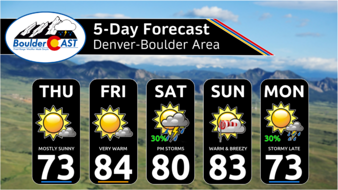
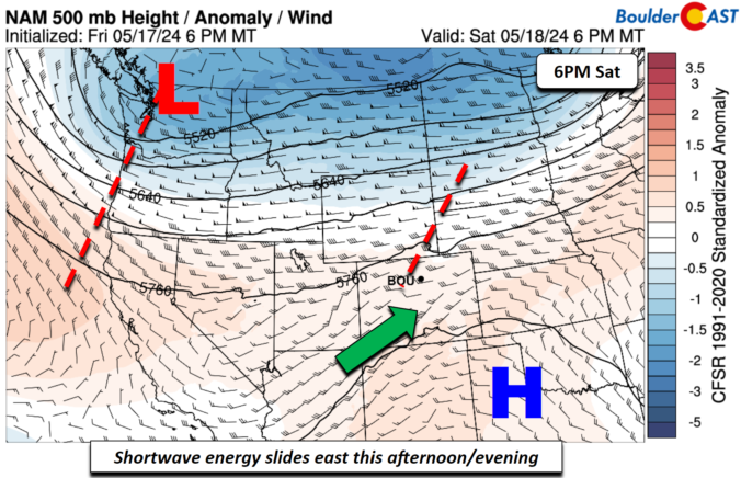
Aweak cold front has pushed through, and, behind it, easterly flow has ensued. This won't prevent us from warming nicely into the upper 70s to perhaps close to 80. But it will bring a chance of scattered late-day and evening storms. That chance will be tied to an upper-level wave that will track through in the southwest flow aloft. This …

Premium BoulderCAST Daily – Fri 05/17/24 | Warm and dry with lower 80s

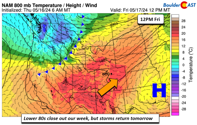
Awarm and dry southwest flow will persist today to end our work week. High pressure over the central/southern Plains and a cold front approaching from the Pacific Northwest will set up a good warm advection regime over the state. Lots of sunshine will bring highs into the lower 80s this afternoon. There is no chance of storms today given dry …

Premium This Weekend in Colorado Weather: Largely quiet & warm weather under a split-flow pattern, but early next week may turn active again

There were fairly widespread raindrops yesterday in the Denver Metro area which led to up to 0.5" of rainfall in some locations. Most of the storms on Wednesday formed after dark and hit areas along and south of Interstate 70, though Broomfield/Westminster also caught some needed rainfall as well. A generally quiet next few days are expected for the Front …

Premium BoulderCAST Daily – Wed 05/15/24 | Cooler today with scattered thunderstorms, but warmer and drier in the days ahead

An active weather pattern currently sits across most of the contiguous United States, including here in Colorado. While the nation is lacking any truly strong storm systems right now (no major severe outbreaks, mid-latitude cyclones, cold air infusions), there are plenty of embedded shortwave features and small cut-off low pressures. One such shortwave is entering Colorado from this northwest this …

Premium BoulderCAST Daily – Tue 05/14/24 | Unsettled weather continues with scattered late-day gusty storms, some may produce severe wind gusts

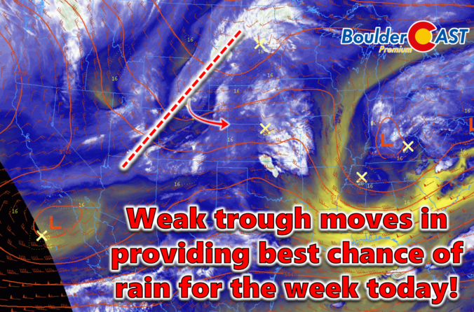
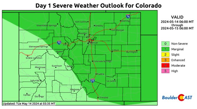
Atightly-packed shortwave disturbance is sliding across Wyoming today -- notice the rotating vorticity max visible on this morning's GOES-East water vapor animation below. Though the bulk of the energy from this shortwave will pass north of Colorado, there is some trailing energy extending southward that will aid in the threat of showers and storms for us later today and tonight. …

Premium BoulderCAST Daily – Sun 05/12/24 | Scattered showers and some storms develop today and early evening

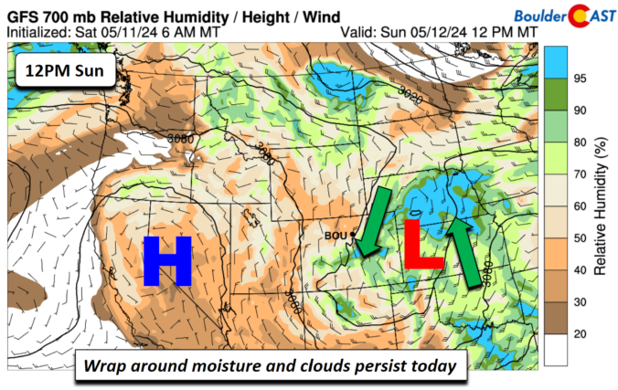
Tclosed upper trough will make its way east today and weaken as it does so. However, that movement will be slow and it won't fully move out until the evening. With that, we'll see a fair bit of cloud cover mixed with some afternoon sunshine before scattered showers and a few storms develop later. Another view is the 5,000 feet …

Premium BoulderCAST Daily – Sat 05/11/24 | Unsettled showers and a few storms today into Sunday

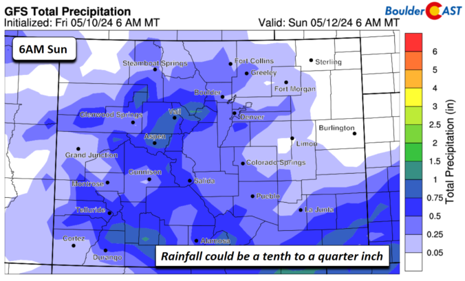
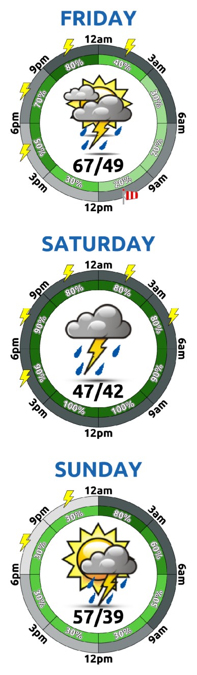
Aband of scattered showers and some embedded storms will develop later this afternoon and evening in response to a cutoff closed low that will move overtop the region into Sunday afternoon. Some weak instability will develop this afternoon and evening and fuel a few showers to produce some thunder/lightning, but we are not expecting any severe threat. The storm chance …

« Older posts Newer posts »