


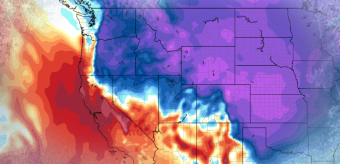
Accumulating snow and frigid temperatures are on the way for most of Colorado! Read on as we discuss the arrival of the first Arctic cold front of the season, one which has good timing to coincide with the winter solstice on Thursday.
Category: Powdercast (Page 18 of 23)
Forecasts focused on the many ski resorts of NE Colorado.
The month of November wrapped up as the second warmest on record in Boulder. During the month, we had ten 70+ degree days, but only one with a high temperature below 40 degrees. The remarkable warmth of late will NOT continue for the week ahead, unfortunately. Continue reading as we detail the forecast for the next seven days.
This week’s weather will be rather tranquil, with temperatures overall above average for this time of year. However, we are watching a cold front for Wednesday and a trough late in the week that could bring snowfall to the region. We detail all this and more in our weekly outlook for the third week of November.

Temperatures are climbing to near-record levels into the low 80’s this afternoon. Would you believe that by this time tomorrow we’ll be 40 to 50 degrees colder with snowflakes flying? That is the situation at hand as a quick-moving storm system is set to clip eastern Colorado. Read on for details.
3rd Annual BoulderCAST First Snow Contest
*This contest is now closed to entries*
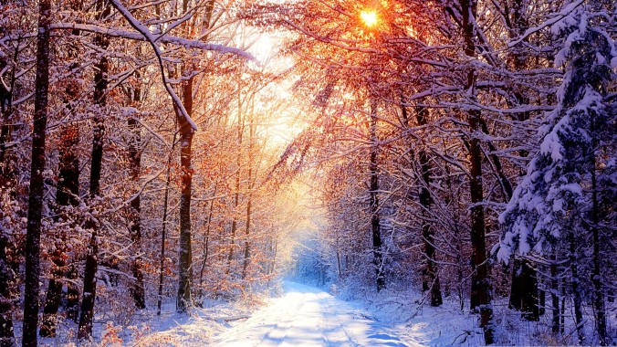
Are you eager for the first snow of the season? Have you already waxed your skis and purchased your Epic Pass? Our first big snow could be right around the corner! We provide a brief overview of Boulder’s first snowfall climatology and then pose a question…“When will Boulder’s first snow occur this year?” Submit your guess for not only a chance to win recognition among local weather enthusiasts, but prizes too. Those who get closest to the date of our first snow win. Read on for all the details.
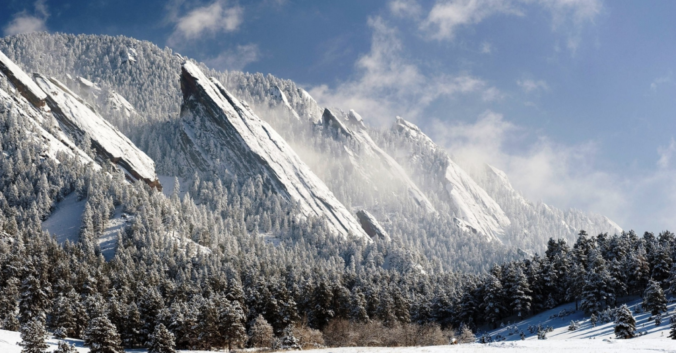
This past winter was an under-performer in many regards. From the record-breaking late-start to the snow season, to the rain storms of March and April, it was NOT great year for powder across the lower elevations! Continue reading as we review a season of disappointment and crunch the numbers to see how well our snowfall forecasts verified throughout the Denver Metro area across the entire winter season.
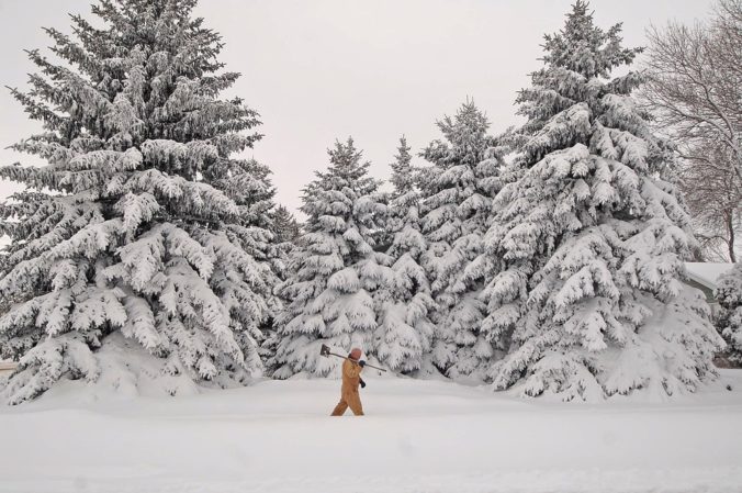
The next few days will solidify the rest of the country’s belief that our weather here is pure insanity. We provide an update on what is shaping-up to be an historic late-season winter storm for the Front Range Foothills. The potential for accumulating snow across the lower elevations is much more uncertain at this time. Read on for the latest details…
As we have been relaying to you all week, another spring snow storm is on the way this evening and will linger into Saturday afternoon. Read on as we detail our final thoughts on the storm and snow amounts for the Foothills and Plains.

Live View of Boulder

Current Conditions

Live Radar
Latest Smoke Forecast

Recent Premium Posts

BoulderCAST Daily – Sun 07/12/26 | Hot weather for a good chunk of the coming week
🥵 🔥 Heat for a good chunk of the week: Upper 90s through …
BoulderCAST Daily – Sat 07/11/26 | Here comes the heat!
🥵 Heat start today: Upper 90s start today and continue well into next …
BoulderCAST Daily – Fri 07/10/26 | The heat builds into the weekend
⛈️ Storms around today: A weak impulse of energy favors some isolated storms …
3-Day Forecast

Trending Content



© 2026 Front Range Weather, LLC