Colorado may be easing into the week on a calm, cool note, but the atmosphere has no intention of staying quiet — and the shift ahead isn’t the one you might expect. While a major storm system pounds the eastern half of the country, a powerful ridge is quietly taking shape off the West Coast, ready to drive an exceptional, record‑shattering March heatwave straight into the Front Range. With gusty downslope winds on the way and the strong likelihood of multiple all‑time records falling, this week is all about the heat. How hot will it get and when will the heatwave end? Let’s take a look.
Category: Long-Range (Page 1 of 15)
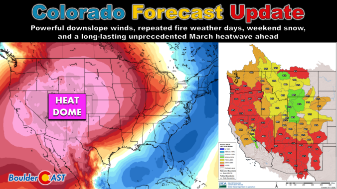
Colorado Forecast Update: Powerful downslope winds, repeated fire weather days, weekend snow, and a long-lasting unprecedented March heatwave ahead
After Tuesday’s surprise temperature split and a sneaky round of overnight rain‑to‑snow, the Front Range is gearing up for a volatile stretch ahead defined by powerful downslope winds, repeated fire weather days, and a weekend cold front with a few snowflakes behind it. And beyond that? An unbelievably intense mid‑March heat wave that will rewrite the record books and kick off snowmelt across much of the West next week. Let’s get into the details.
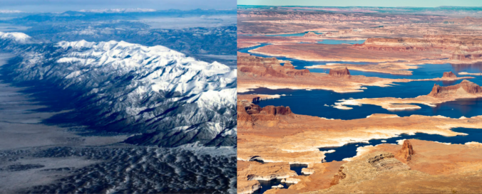
Winter may be on the calendar, but it certainly hasn’t been in the air this year. As the West stumbles through one of its warmest, most lopsided cold seasons on record, the signs of a deeper shift are becoming impossible to ignore. From record‑breaking heat along the Front Range to a snowpack crisis unfolding across the entire West, this “winter” has rewritten the rules — and the ripple effects are only beginning to surface. We break down what happened this year, why it matters, and what this complete failure of a winter means for the months ahead.
After a quick burst of weekend snow and our coldest temperatures since early December, the week ahead turns much quieter across Colorado. Temperatures will climb steadily as Boulder and Denver stay dry into the New Year, while the Mountains prepare for a well‑timed round of snow for the holiday weekend. We’ll walk you through the day‑to‑day weather this week, where the snow will fall, and check in on long‑range guidance which still isn’t advertising much in the way of winter for eastern Colorado.
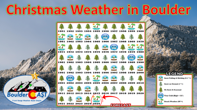
December has been anything but typical along the Front Range, with Boulder shattering warmth records and enduring weeks of bone‑dry weather that have fueled fire danger and stressed our local trees. As we head into Christmas, the holiday will feel more like patio season than sledding weather, with record highs likely and no snow available outside of the Mountains. But don’t pack away the winter gear just yet—a sharp cooldown and even a chance for light snow are on the horizon this weekend. We take a closer look this historically warm and dry December, the scorching Christmas forecast, and peek ahead to what’s next.
Sunday’s record-breaking November heat will give way to a dramatic cooldown on Monday, with temperatures plunging 20 to 30 degrees and wave clouds rolling in over the Front Range. The week ahead stays dry and mostly mild, but a few weak cold fronts will stir up some wind and day-to-day temperature swings. And while the forecast looks quiet for now, ensemble models are starting to hint at a colder, potentially snowier shift next week.
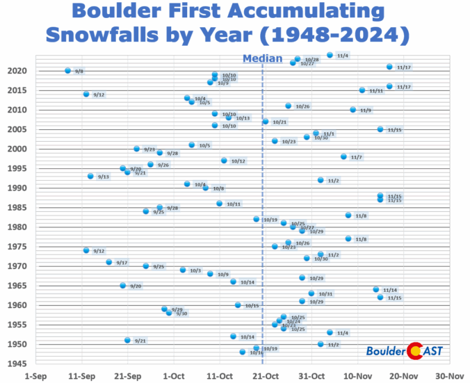
After a stretch of crisp, dry days to end the week, our weather is gearing up for a big warm-up this weekend, with near-record highs favored by Sunday. This developing warm and unfortunately dry pattern looks likely to stick around well into November. With each passing day, the odds grow that Boulder might challenge its record for the latest first snowfall.
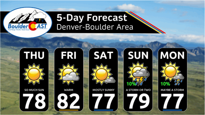
*Premium* This Weekend in Colorado Weather: A picture-perfect first weekend of autumn as the Front Range stays warm & dry
© 2026 Front Range Weather, LLC

