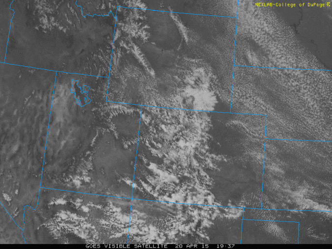
The forecast for this week features a series of backdoor cold fronts moving through Eastern Colorado. A low pressure system moving ashore from the Pacific will also impact the forecast Thursday into Friday.
Category: Forecast (Page 166 of 166)
Mountain snow to continue, (mostly) rain on Plains
Don’t be fooled by the sun’s appearance this afternoon – the storm that has been plaguing the area since Wednesday has one last gasp left before exiting our region tomorrow.
Snowfall amounts in Boulder County through 8am MT Friday range from 2 to 24”. Where does your neighborhood fall?

What has proven to already be a messy storm will only get messier heading into Friday, as Boulder will experience its most significant precipitation event since the Boulder Flood in September 2013, alongside a potential historic snowfall event unfolding in the Foothills.
The latest computer models are indicating the storm could pack a bit more moisture that previously expected. Depending on your stance on snowfall, this could either be great or horrible news to you.
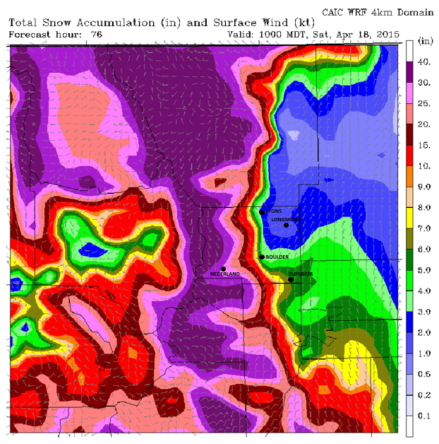
Despite substantial uncertainty earlier in the week, a potent winter storm is taking aim on Eastern Colorado for Thursday and Friday! Just about everyone will see some of the white stuff, with some areas likely measuring their accumulation in feet by Friday evening. How much snow will you get? Read on to find out.
.
Continue reading

Live View of Boulder

Current Conditions

Live Radar

Recent Premium Posts

BoulderCAST Daily – Sat 05/02/26 | A pleasant and warm first weekend in May
☀️Warming up for the first weekend in May, with upper 60s to near …
BoulderCAST Daily – Fri 05/01/26 | Warming up this weekend
🌡️ Warming up this weekend, from the upper 50s-60 today to the upper …
BoulderCAST Daily – Tue 04/28/26 | Staying cool with a couple showers, the late-week storm is still the main event despite trending south
🌧️ Morning wave = main show, with light rain showers and Foothills wet …
3-Day Forecast

Trending Content

© 2026 Front Range Weather, LLC