


We discuss the insanely dry air out there today….the driest in Boulder since March of 2017. Plus a check on this evening’s cold front and snowfall potential for the Metro area.
Category: Forecast (Page 137 of 198)

Much of the week will be chilly with highs in the 30’s and lower 40’s thanks to a persistent cold airmass. A couple of weak weather systems will slide through during the week leading to chances for light snow. Nothing looks significant at this time, but there is some uncertainty. Read on for more details.

The weather this week will be nearly a mirror-image of last week. Quiet conditions statewide early on will fade slowly, with the potential for heavy mountain snow later in the week. Read on for our complete forecast.

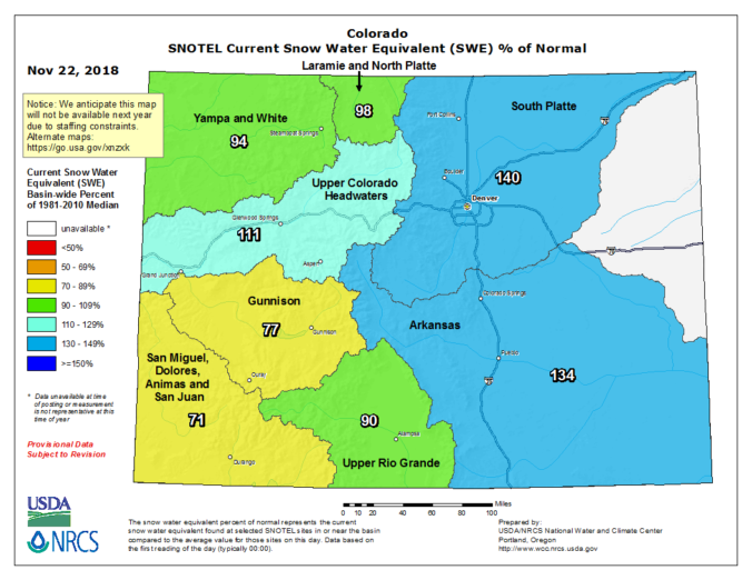
Heavy mountain snow is on the way for the weekend. We discuss the ski forecast and look at why any precipitation across the lower elevations will be limited.

After yet another weekend of winter, our weather quiets down considerably for the upcoming week. We review the snow totals from this past weekend’s storm and discuss the forecast for Turkey Day.
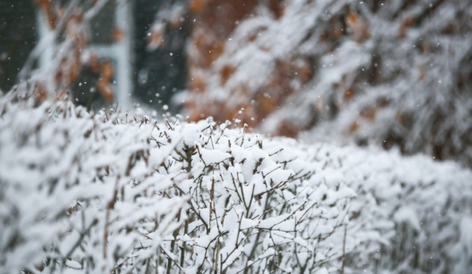
For the second weekend in a row, a winter storm will be impacting the Front Range with very cold temperatures, freezing drizzle, and snow. We discuss when the cold air will arrive, potential ice and snow amounts, and when temperatures will return to normal again.
Live Radar

Trending Content


Recent Premium Posts

BoulderCAST Daily – Tue 11/10/26 | Clouds Increase Today, But Colorado’s Dry Pattern Rolls On
🌤️ A Few More Clouds Today – Mountain wave clouds are developing along …
BoulderCAST Daily – Sun 11/08/26 | Mild November Weather Continues, Even With A Cold Front Midweek
☀️ Sunny and warm for early November – Temperatures in the middle to …
BoulderCAST Daily – Sat 11/07/26 | A Pleasant Weekend With Dry Weather For a While…
☀️ Sunny and Pleasant – Highs in the lower 60s this afternoon trend …
© 2026 Front Range Weather, LLC
You must be logged in to post a comment.