Category: Forecast (Page 116 of 198)

Are you tired of it yet? Light snow returns Wednesday afternoon into the evening

We’re starting to sound like a broken record, but more snow is on the way later today into tonight. Read our latest thoughts on the forecast which will produce light accumulations across the Front Range once again.

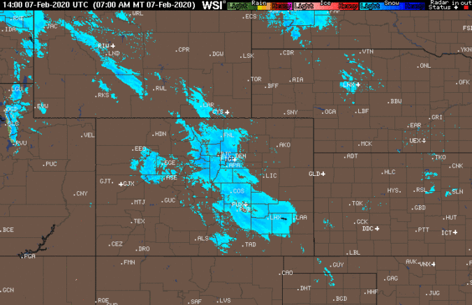
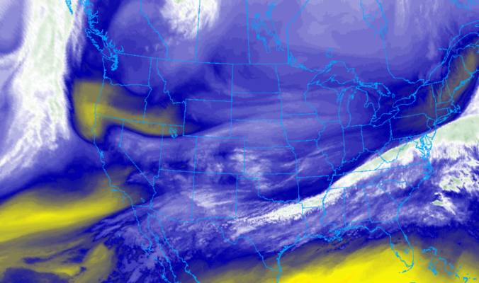
PREMIUM UPDATE (11:00 AM Wed 02/19/20): Wednesday morning’s model runs came in a little snowier, but are they being overly optimistic? We take a look at the latest model data in conjunction with satellite/radar observations to find out. Click HERE to read.

Continue reading

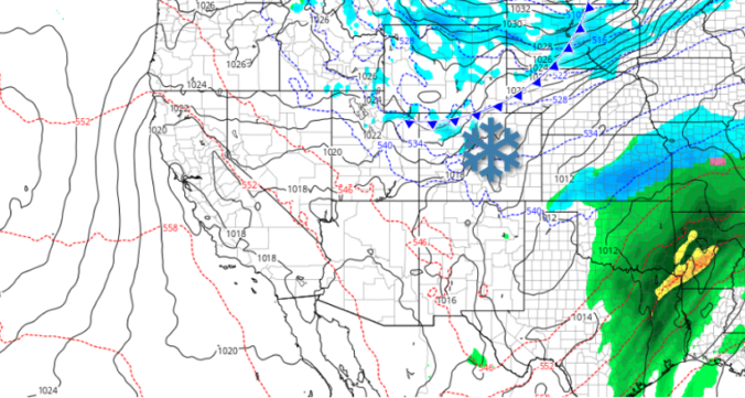
*Premium Exclusive* An early look at the Presidents Day snow potential

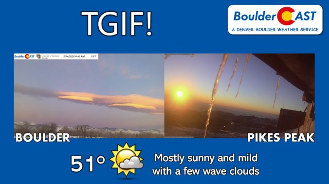
Happy Friday! A nice shift to downslope today will help to scour out the lingering cold and polluted Arctic airmass across the Front Range. After a morning low of just 13 degrees at BoulderCAST Station, we're forecasting a high in the lower 50's this afternoon with light winds and just a few wave clouds filling the skies. As nice as …

As of February 11th, Boulder has already surpassed its normal winter snowfall total 😲

With the conclusion of last night’s quick-hitting snow event, our fourth in just the last eight days, Boulder has now officially eclipsed the typical amount of snow that falls in an entire season, and we’re not even half way through the month of February! We take a look at how this fits into Boulder’s history, what it might tell us about the potential for snow the rest of the winter, and give a quick and dirty forecast for our next chance of snow coming on Wednesday.

Continue reading

« Older posts Newer posts »