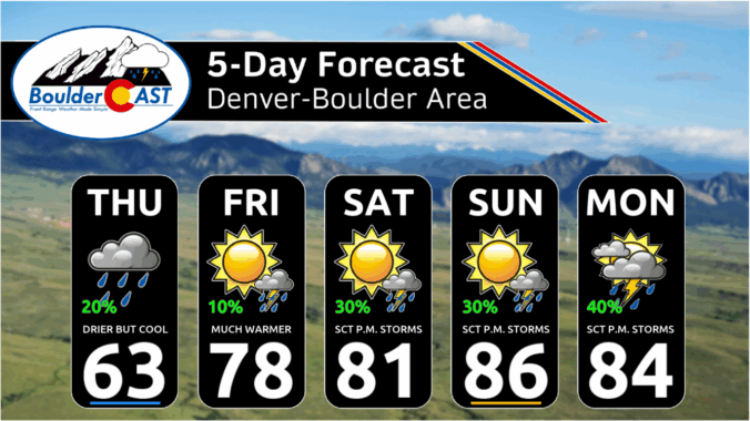
As we step into the first full week of June, get ready for more cool and wet weather in the Front Range! A promising rain event kicks off the week Monday afternoon through midday Tuesday, with a cold front bringing much cooler temperatures and widespread showers and storms. Rain chances will linger through much of the week ahead, though uncertainty remains on exactly how things will unfold from midweek onwards. Expect highs to drop from the 80s Monday into the 50s Tuesday, and continue to run below average the rest of the week. If you were hoping for a dry stretch for early June, you might need to adjust your plans—keep those umbrellas handy!
Category: Forecast (Page 10 of 164)
So far this Memorial Day Weekend has brought a mix of welcomed rainfall and intense thunderstorms across the Front Range, with some areas seeing over two inches of rainfall and even hail. While the first half of Monday should be dry for holiday festivities, scattered showers and storms will develop in the afternoon with brief downpours, gusty winds, and lightning. The unsettled pattern continues throughout the week ahead, with Wednesday and Thursday offering the highest storm chances, fueled by lingering atmospheric energy. However, as we approach the weekend, a shift toward warmer and drier conditions is expected, with highs climbing into the lower 80s and fewer storms impacting the region.
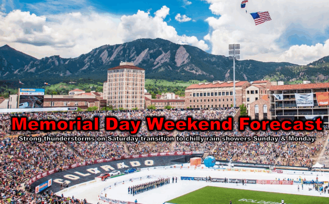
As we roll briskly into Memorial Day weekend, the forecast is shaping up to be a mix of weather conditions across the Front Range. Thursday and Friday will be pleasant, but by the weekend, a slow-moving weak storm system will shake things up, bringing cooler temperatures and a higher chance of showers and thunderstorms, including some severe risk. If you’ve got outdoor plans, definitely stay weather-aware, but don’t let a little rain spoil the holiday fun! Continue reading
Sunday’s storms brought a slew of severe weather to northeast Colorado, including a photogenic tornado east of Denver. This week will be relatively quiet, but there is still plenty to discuss. Monday will stay cool and showery, but drier and warmer weather is on-tap for the rest of the week. However, a weekend trough will threaten to shake things up again—could the Memorial Day Weekend forecast include stormy skies? Read on for all the details.
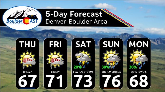
*Premium* This Weekend in Colorado Weather: Breezy and dry to end the week, but late-day rain returns in the extended
Get ready for a preview of summer! Near-record heat will kick off the week across the Front Range, with highs soaring towards the mid to upper 80s. These temperatures could tie or break existing records, making for a sizzling start to the week. But don’t worry—relief is already on the way! A mostly dry cold front will roll through around midweek, cooling things down to more seasonable levels. While a few stray showers might pop up later in the week, the better chance for wet weather arrives over the upcoming weekend.
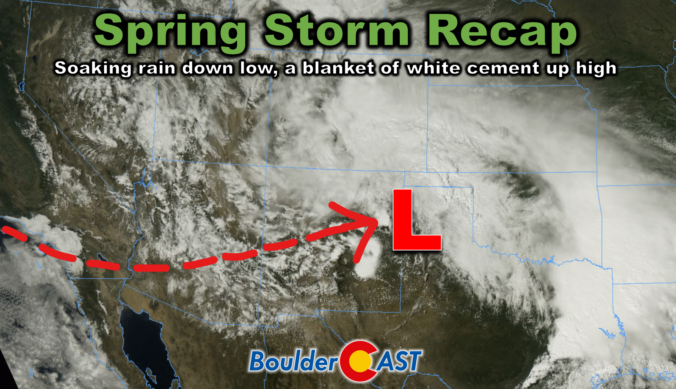
This week’s slow-moving spring storm drenched the Boulder-Denver area with widespread soaking rain, while elevations above 7,500 feet were blanketed in dense, heavy snow. As the storm begins to wind down, we take a look at how it unfolded and review the final rain and snow totals.
© 2026 Front Range Weather, LLC

