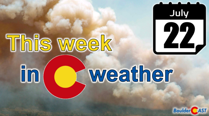
After a cool and unsettled past several days, the week ahead turns much drier, notably hotter, and quite hazy with Canadian wildfire smoke engulfing the Front Range. Rain chances will be limited through the week as the monsoon stays largely suppressed. We will return to the 90s as early as Tuesday, perhaps nearing 100 degrees by week’s end. When is our best chance of rain, how hot will it get and when will our air quality finally improve? Let’s take a look!
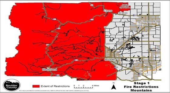
Category: Fire Weather (Page 9 of 29)

An impending pattern shift is expected to bring record-breaking triple-digit temperatures to the Front Range this weekend. This latest round of extreme heat is due to a superheated airmass moving into Colorado from the Desert, an airmass which has already produced all-time record highs in other western states. We review the climatology for rare triple digit heat, discuss why Denver is often several degrees warmer than Boulder during the summer, go over the forecast for just how hot it will get this weekend and look ahead to when we may finally cool off.

The North American Monsoon is responsible for pumping subtropical moisture into the southwestern United States every summer, moisture which ultimately supplies the fuel for Colorado’s daily summertime thunderstorms — rain we desperately need in the Front Range right now following months scarce precipitation and worsening drought. However, the arrival and intensity of the summer monsoon varies substantially from year to year, especially in our area. In this long-range outlook, we discuss the developing dire drought situation, the current state of the monsoon, what’s happening with El Niño, and what to expect for weather in the coming months across Front Range Colorado.
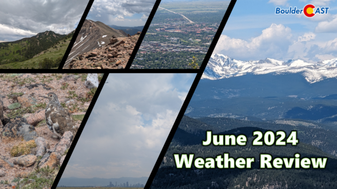
Following right in the footsteps of May, June was another incredibly dry month across much of the Front Range, concluding as Boulder’s driest June in exactly 100 years. As a result, drought has returned to the area, including both Boulder and Denver. June also landed as one of the hottest on record for many Colorado cities. Here’s a quick and colorful graphical recap of our weather during June and how it relates to climatology.
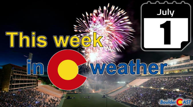
This week’s weather in the Front Range will feature a welcomed northwest flow pattern, one which will usher in cooler temperatures but unfortunately little in the way of rainfall as the monsoon remains at bay. Several disturbances will be tracking across northern Colorado but will have extremely limited moisture to work with resulting in most areas staying nearly bone-dry this week. While not good at all for the ongoing drought, this setup will allow for cool and beautiful conditions for the Fourth of July — just be mindful that fire danger is growing. Read on for all the details.
This week in the Front Range will feature a rollercoaster ride of temperatures from 90s to the 70s and back again! There will also be increasing rainfall chances for the mid to late-week period as remnant moisture arrives from a tropical system in the Gulf of Mexico — this is not the beginning of our seasonal monsoon just yet. Temperatures will slowly ramp up back into the 90s for the upcoming weekend. Read on for more details.
As the Front Range races towards near-record high temperatures on Thursday, the weather pattern is evolving to offer a short-lived reprieve on Friday with a chance of severe thunderstorms and cooler temperatures accompanied by well-mixed smoke blowing in from Mexico. While the blistering heat will ramp back up again over the weekend, we are tracking a potential dip towards more comfortable temperatures next week. Here’s the latest!

Live View of Boulder

Current Conditions

Live Radar

Recent Premium Posts

BoulderCAST Daily – Thu 11/27/25 | A sunny Thanksgiving, plus an update on the cold/snow brewing for the weekend
🌞 Thanksgiving Day: Calm, sunny weather statewide under high pressure; highs 49–54°F across …
Flash Sale: Winter is back! Save 30% Through Monday December 1st Only!

Winter Weather Update: Historic snow drought likely comes to an end during what will be a bitter cold holiday weekend in the Front Range
After weeks of unseasonable warmth, the Front Range is staring down its first …
3-Day Forecast

Trending Content


© 2025 Front Range Weather, LLC