


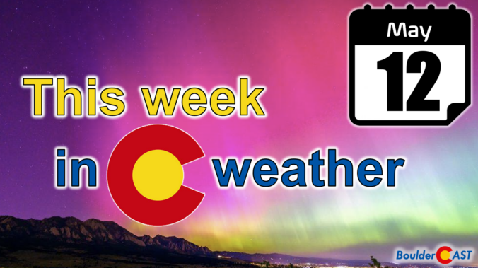
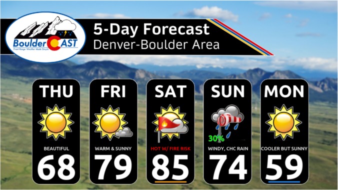
Get ready for a preview of summer! Near-record heat will kick off the week across the Front Range, with highs soaring towards the mid to upper 80s. These temperatures could tie or break existing records, making for a sizzling start to the week. But don’t worry—relief is already on the way! A mostly dry cold front will roll through around midweek, cooling things down to more seasonable levels. While a few stray showers might pop up later in the week, the better chance for wet weather arrives over the upcoming weekend.
Category: Fire Weather (Page 13 of 38)
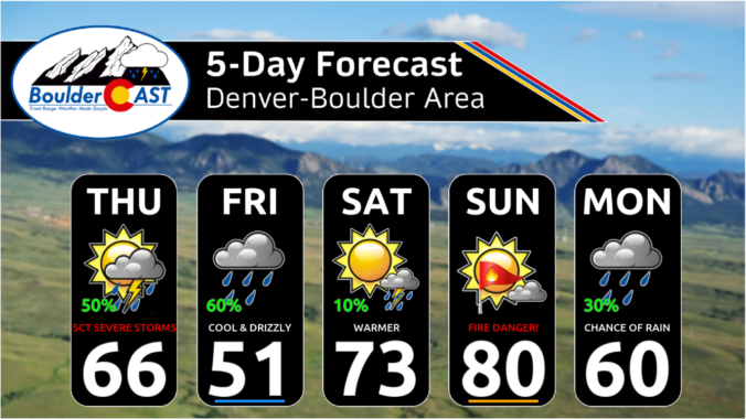
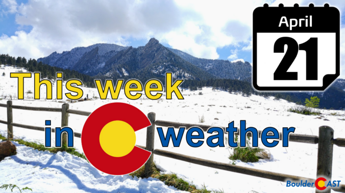
While this week’s weather in the Front Range won’t be as flashy as last week’s snowstorm, there is still plenty to discuss! A gradual pattern shift through the week will see warm and dry conditions get replaced with cooler and wetter weather in time. There will also be some fire danger and severe storms this week across eastern Colorado. Read on for all the details.
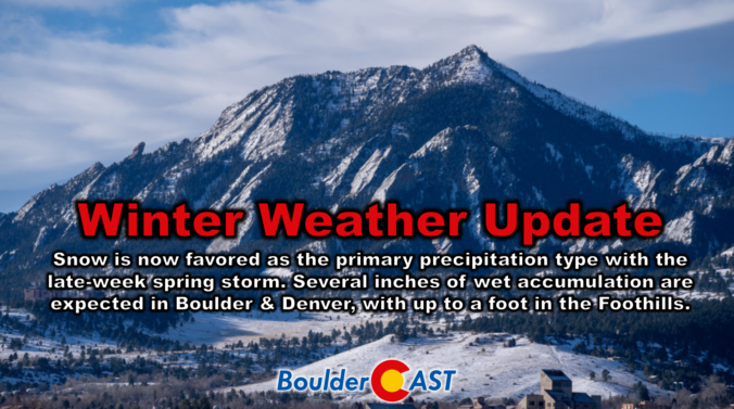
Following a rather benign stretch of weather this week so far, a strong storm system will bring winter weather back to the entire Front Range in the days ahead. After a warm day with fire danger on Thursday, a cold front will blow through in the early evening hours paving the way for a prolonged period of upslope-enhanced precipitation lasting into early Saturday. While the predominant precipitation type will indeed be snow with this storm, even across the lower elevations, there will be a lot of melting happening limiting the overall impacts and potential snow accumulation. We discuss the latest storm details, how much moisture will fall, and how much wet snow this will translate into for the area.
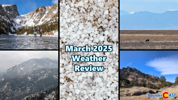
March 2025 was characterized by warm temperatures and largely dry conditions in the Front Range. The month saw a mix of seasonal weather patterns, including occasional gusty winds and a few minor snow events. While March finished as one of our all-time least snowy on record, the region experienced a much-needed deluge of rain during the final weekend of the month which will help to stave off drought for a little while longer. Here’s a quick and colorful graphical recap of our weather during March and how it relates to climatology.
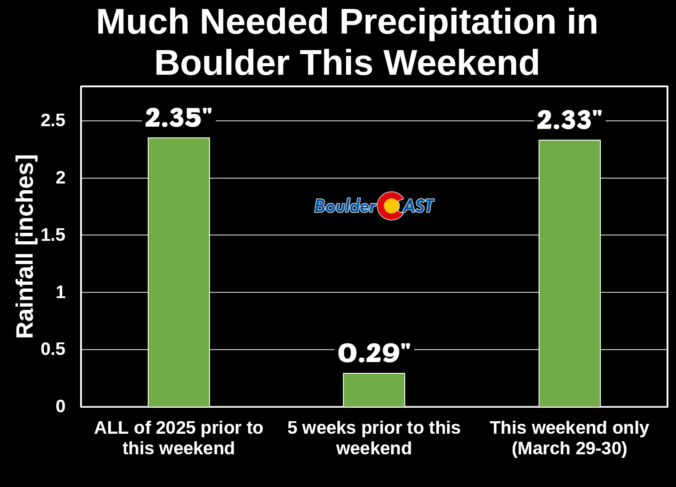
Thanks to multiple rounds of steady rain, a hail-producing thunderstorm, and even a few snowflakes, Boulder has remarkably received about as much precipitation this weekend as we’ve seen in all of 2025 combined beforehand! We review the rain (and snow!) totals across the area and discuss briefly what unfolded over the last 36 hours during what was a rather atypical spring storm.
The week ahead will remain largely dry across the Front Range thanks to the slow passage of a strong ridge of high pressure aloft. Gusty downslope winds on Monday will relax and transition into a mid-week heatwave with record highs up for grabs across multiple days. However, unsettled weather is brewing for the upcoming weekend with decent rain chances for the lower elevations and a few snowflakes for the higher Foothills. Read on for all the details.

Live View of Boulder

Current Conditions

Live Radar

Latest Smoke Forecast

Recent Premium Posts

BoulderCAST Daily – Tue 08/25/26 | Cooler with More Run-of-the-Mill Storms Today, But Big Hail Could Be an Issue Tomorrow
🌤️ Monsoon flow persists under a record-strong New Mexico ridge, keeping moisture aimed …
BoulderCAST Daily – Sun 08/23/26 | Another day of scattered afternoon storms, but with better air quality
☀️ Temperatures hover in the lower 90s today and through much of the …
BoulderCAST Daily – Sat 08/22/26 | Scattered Storms Capable of Heavy Rain and Gusts/Hail
😷 Ozone lingers — An Ozone Action Day holds in place until 4 …
3-Day Forecast

Trending Content



© 2026 Front Range Weather, LLC