Category: BoulderCAST Daily (Page 9 of 371)
This page contains an index of our BoulderCAST Daily forecast updates. If you are NOT a Premium member, you will only see a tiny sample of this content below. Subscribe to BoulderCAST Premium to gain access to all of our daily forecasts which get published every morning.

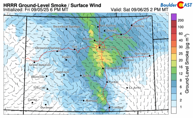
BoulderCAST Daily – Wed 09/03/25 | Staying warm & sunny ahead of a smoky autumn cold front coming Thursday evening
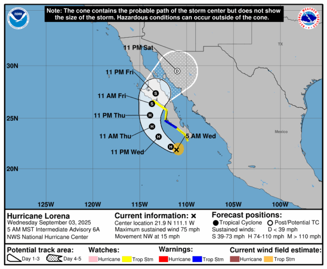
*Premium* BoulderCAST Daily – Tue 09/02/25 | Seasonal with a few isolated late-day storms; Tropical Depression 12E has formed in the Pacific
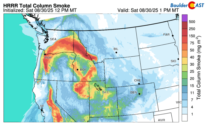
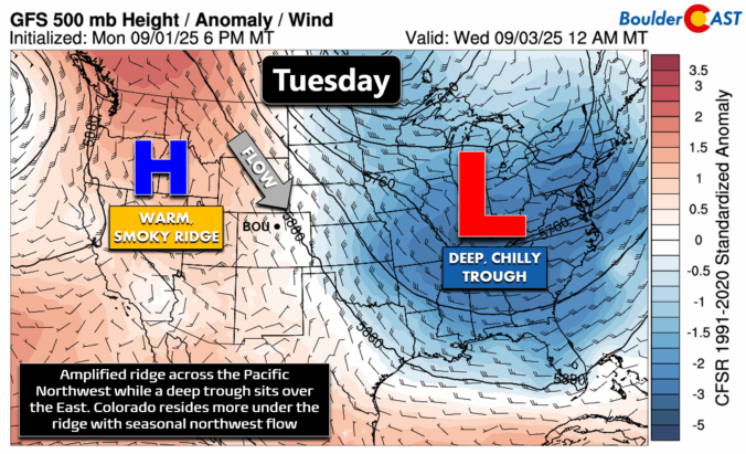
*Premium* BoulderCAST Daily – Sun 08/31/25 | Pleasant and quiet for our last day of August but watching for smoke
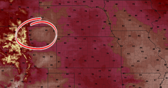
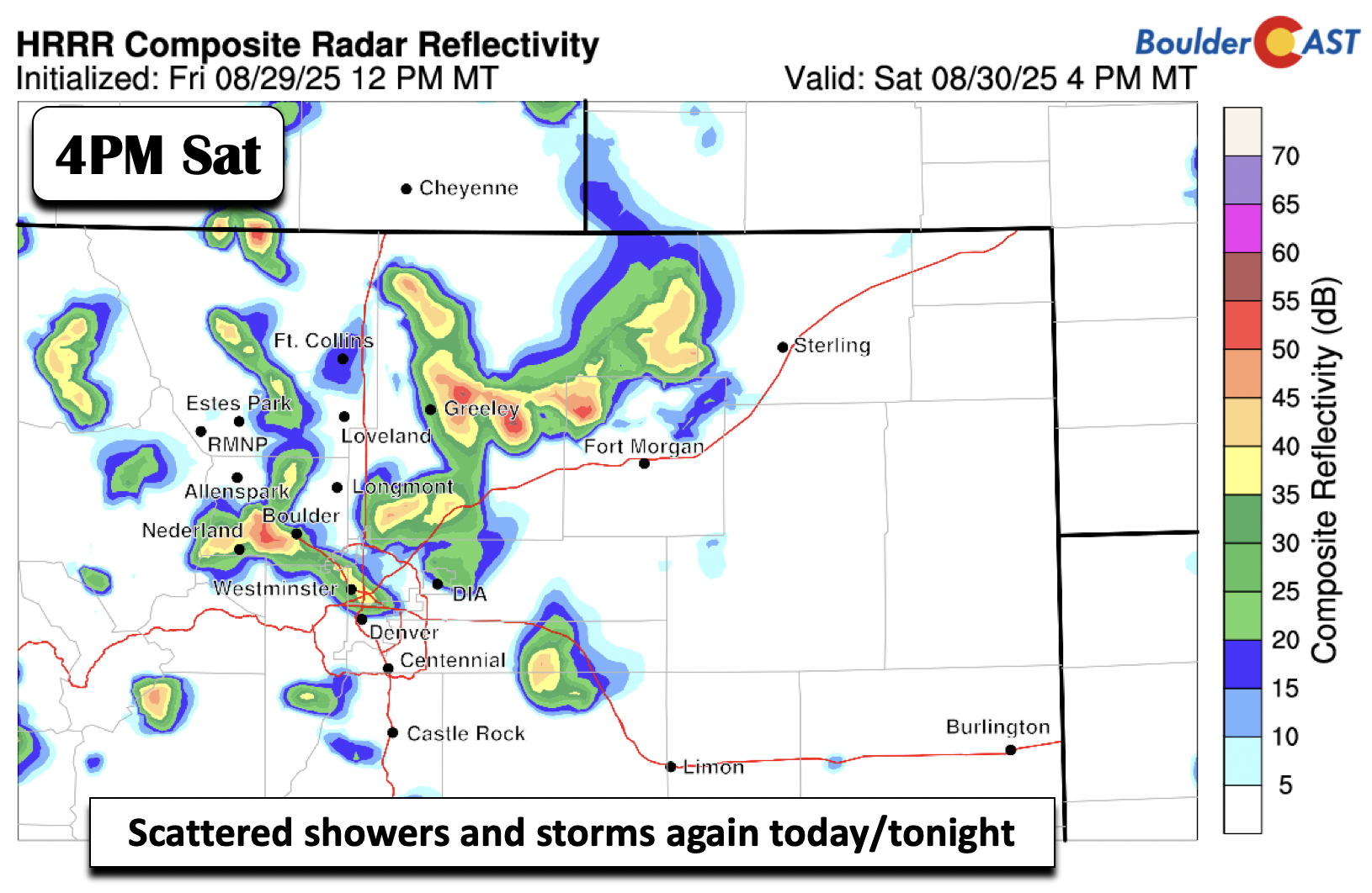
*Premium* BoulderCAST Daily – Fri 08/29/25 | Scattered storms today & tomorrow with continued below normal temps

*Premium* This Weekend in Colorado Weather: A few more stormy days ahead of a beautiful Sunday and Labor Day
© 2025 Front Range Weather, LLC

