Category: BoulderCAST Daily (Page 60 of 342)
This page contains an index of our BoulderCAST Daily forecast updates. If you are NOT a Premium member, you will only see a tiny sample of this content below. Subscribe to BoulderCAST Premium to gain access to all of our daily forecasts which get published every morning.
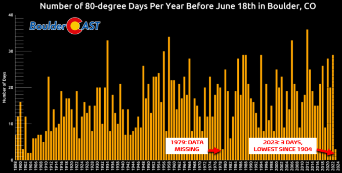
*Premium* BoulderCAST Daily – Mon 06/19/22 | The hottest day yet in 2023 under sunny & smoke-free skies
NOTICE: Due to the federal holiday, our usual Monday weekly outlook will be posted instead on Tuesday. Please check back then for the latest on Front Range weather!
© 2025 Front Range Weather, LLC

