Category: BoulderCAST Daily (Page 270 of 465)

This page contains an index of our BoulderCAST Daily forecast updates. If you are NOT a Premium member, you will only see a tiny sample of this content below. Subscribe to BoulderCAST Premium to gain access to all of our daily forecasts which get published every morning.
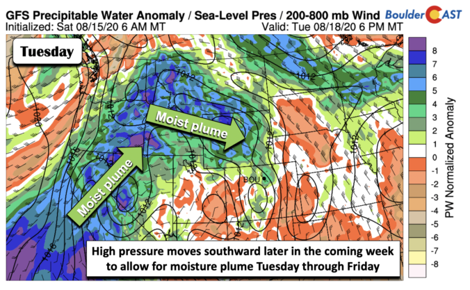
BoulderCAST Daily – Sun 08/16/20 | Same old same old…potential rain this week

Detailed Forecast Discussion Little change, if any, of the hot ridge of high pressure in Arizona and southern Nevada (below). The hottest weather is found in Utah, Arizona, Nevada, and southern California. Colorado is on the fringe of the extreme heat. But the setup will continue to favor relatively dry weather. We could really use some rain. There are some …

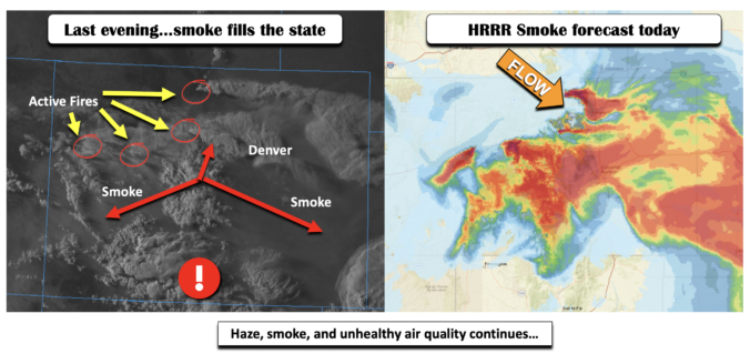
BoulderCAST Daily – Sat 08/15/20 | Smoky Conditions continue with temperatures in the low 90’s

Detailed Forecast Discussion What we though was going to be a less smoky day on Friday turned out to be the exact opposite. A new fire, the Cameron Peak Fire, west of Ft. Collins in the High Country, developed and reached almost 5,000 burned acres by Friday night. This fire is positioned roughly in north-central Colorado (below left), the top-most …

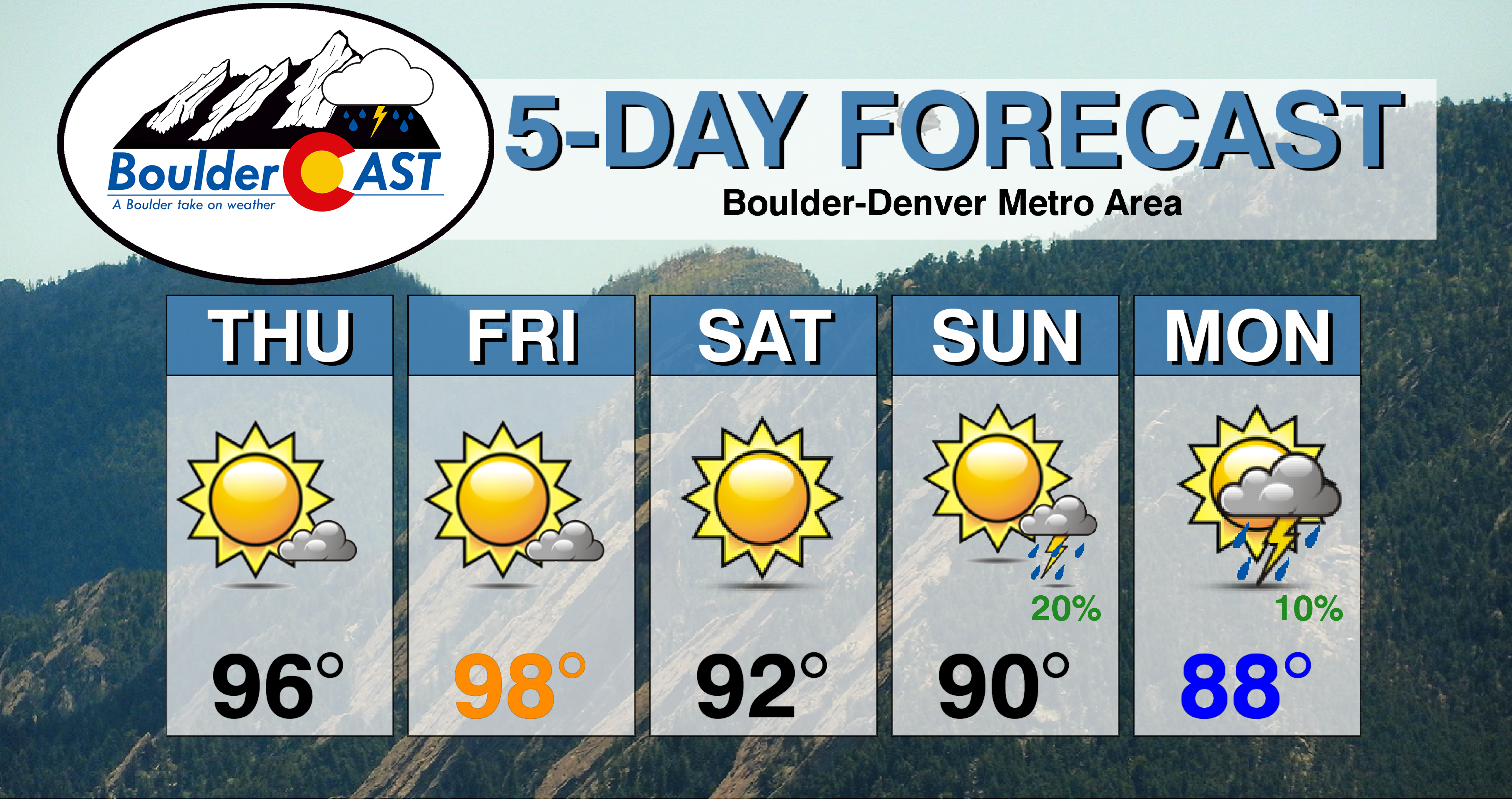
BoulderCAST Daily – Fri 08/14/20 | Near-record heat today…smoke and haze lessen

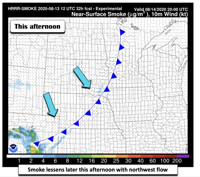
Detailed Forecast Discussion It's all about the record heat today. The record high for today in Boulder is 99°F and for Denver it is 100°F. We will get close to these values but it will be tough to beat...we shall see! A trough axis tied to a low pressure system in the Dakotas (below) is pushing through today. This trough …

BoulderCAST Daily – Thu 08/13/20 | Near-record heat through tomorrow, but “cooler” weather incoming

TDetailed Forecast Discussion he dominant ridge of high pressure remains parked to our south across New Mexico today with continued dry west-southwest flow pushing into Colorado. A trough is indeed moving across the northern Rockies today, but this will miss our state, mainly just increasing wind speeds in the Mountains leading to Red Flag Conditions. Not good for fire-fighters in …

BoulderCAST Daily – Wed 08/12/20 | The heatwave continues

HDetailed Forecast Discussion ot weather continues to be the story for this Wednesday as very dry, smoke-filled air has moved into Colorado from the west-southwest. As you can see below, precipitable water values have tumbled statewide to below 0.5" and more like 0.3" in the Front Range and in the Mountains. This will support mostly sunny skies with just a …

BoulderCAST Daily – Tue 08/11/20 | Heading back to the 90’s for a while

TDetailed Forecast Discussion oday's large-scale weather setup has the persistent ridge of high pressure holding strong across southern Arizona and southern New Mexico. As we have discussed all summer long, this positioning will continue to redirect any potential monsoon moisture westward and away from the Desert Southwest. Hot and dry weather will prevail across the Four Corners area with precipitable …

BoulderCAST Daily – Sun 08/09/20 | Smoky and hazy with middle 90’s

Detailed Forecast Discussion We continue to see haze and smoke around the area from earlier this morning due to a fire burning near Grand Junction (over western Colorado). Note in the below figure the observed vertically accumulated smoke across the Front Range from this morning. As we go into the afternoon, this haze and smoke should dissipate and become not …

« Older posts Newer posts »