Category: BoulderCAST Daily (Page 253 of 465)

This page contains an index of our BoulderCAST Daily forecast updates. If you are NOT a Premium member, you will only see a tiny sample of this content below. Subscribe to BoulderCAST Premium to gain access to all of our daily forecasts which get published every morning.

BoulderCAST Daily – Sat 01/02/21 | We are in between systems today

WDetailed Forecast Discussion: e are in between systems today. At the mid-levels, a trough of low pressure is located not only in eastern Oklahoma, but over western Wyoming (below left). Sandwiched between them is Colorado, with light downslope flow at the surface. With the airmass warming ever so slightly today relative to Friday, that should help get us into the …

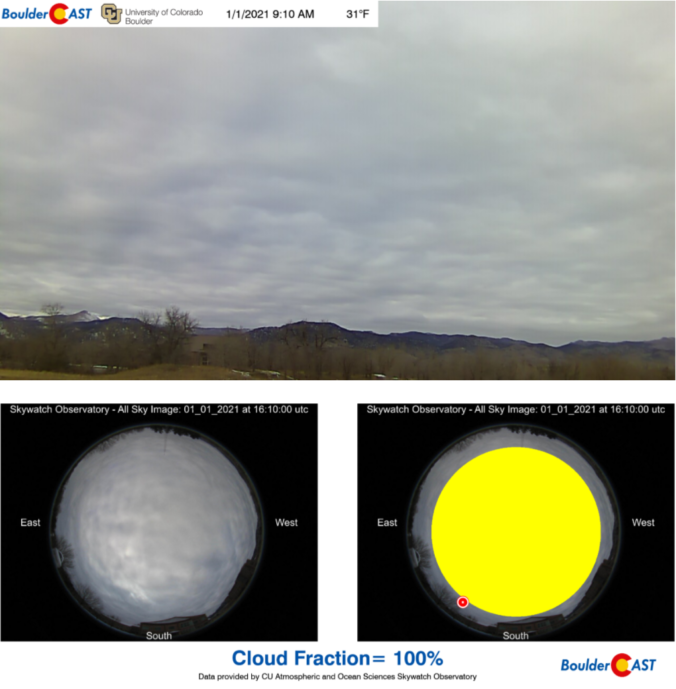
BoulderCAST Daily – Thu 01/01/21 | Decreasing cloud cover & cool

ADetailed Forecast Discussion: day of quiet weather is in store for the Front Range as the main storm track at the moment resides to our south. Two significant low pressure systems sit in this track right now...one in Oklahoma and another in northwestern Mexico. As we discussed yesterday, both of these storms will miss Colorado but bring widespread winter weather …

BoulderCAST Daily – Thu 12/31/20 | An unfittingly tame end to 2020

TDetailed Forecast Discussion: wo areas of low pressure reside across the western United States today. Fortunately, neither of them will really be impacting Colorado as they are too far away, both to the southeast and southwest. The one moving south through Las Vegas was the system we were watching several days ago to bring a dusting of snow to the …

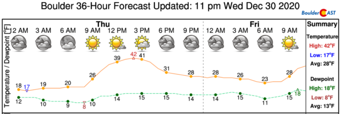
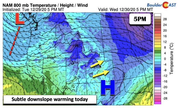
BoulderCAST Daily – Wed 12/30/20 | Snow melting under downslope warming

TDetailed Forecast Discussion: he snow will start to melt today thanks to a slight downslope warming signature in the lower levels of the atmosphere. At the mid-levels (below), weak high pressure is situated over western Colorado. The snow system from Monday/Tuesday has moved into northwest Mexico. As it moves east-northeast into the Midwest by Friday, another trough of low pressure, …

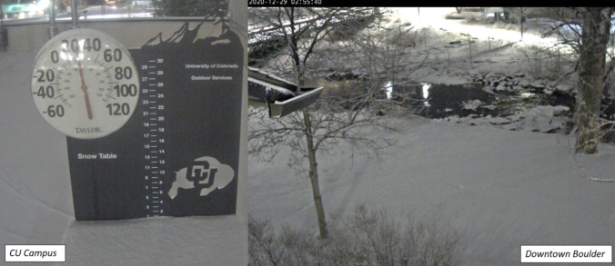
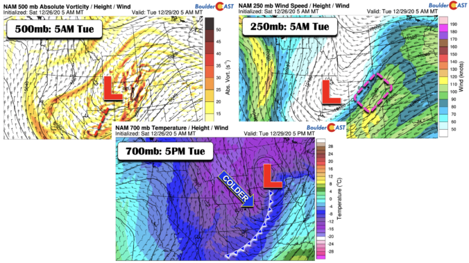
BoulderCAST Daily – Tue 12/29/20 | Cold & overcast with a spotty snow shower

TDetailed Forecast Discussion: he worst of the snow has finished across the area with the upper-level jet streak now pushing eastward into Kansas. About an inch or so of snow is on the ground in Boulder, with 2-3" from Longmont northward. There will be just a few lingering flurries around this morning along with patchy low clouds. The final aspect …

BoulderCAST Daily – Sun 12/27/20 | Gusty winds and chilly…snow chances increase this week

Detailed Forecast Discussion: Strong downslope winds (at times between 30 and 45 mph) across the Plains will decrease late this morning to early afternoon with temperatures much chillier than our Saturday, where we were near 60! Highs in the lower 40's area-wide as a cold front has passed through and light upslope flow takes over today (below left). Skies will …

BoulderCAST Daily – Sat 12/26/20 | Wave clouds with 50’s this afternoon…windy tonight!

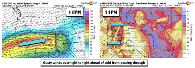
NDetailed Forecast Discussion: ot much change from the overall weather pattern today relative to Christmas. One main difference is a wave cloud that will be with us through much of the afternoon along the Front Range. Temperatures should be near the mid and upper 50's. Tonight, a strong upper-level jet streak will penetrate eastward from California (below left). This will …

« Older posts Newer posts »