Category: BoulderCAST Daily (Page 217 of 465)

This page contains an index of our BoulderCAST Daily forecast updates. If you are NOT a Premium member, you will only see a tiny sample of this content below. Subscribe to BoulderCAST Premium to gain access to all of our daily forecasts which get published every morning.

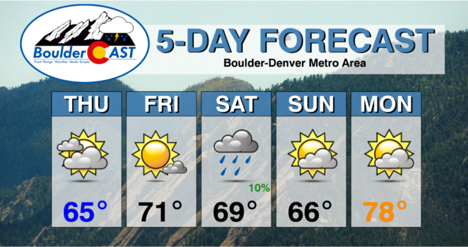
BoulderCAST Daily – Sat 10/23/21 | Mostly Cloudy with mountain snow…gusty winds possible tomorrow

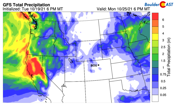
TDetailed Forecast Discussion: rough of low pressure will track through the state of Colorado late tonight (below), ushering in our next shot of mountain snowfall for the higher terrain out west. The track of the trough is not favorable for precipitation on the Plains, but lots of cloud cover will be the norm as temperatures top out cooler (but still …

BoulderCAST Daily – Fri 10/22/21 | Sunshine and 70s to end our work week

RDetailed Forecast Discussion: idge of high pressure will dominate the end of our work week this Friday, centered over Colorado, Wyoming, and Montana. There is a deep trough out in the Pacific Northwest that will bring unsettled weather into this area. But we should remain dry with highs in the lower 70s. The day will largely be sunny, but some …

Weekend Weather Snapshot: October 21, 2021

ADetailed Forecast Discussion: n area of increased moisture aloft will push across the Rockies today from the west despite a ridge axis moving in as well. This batch of high clouds can be seen in the GOES-East infrared satellite animation below from this morning. Notice the more substantial cloud cover entering western Colorado. There is also a wave cloud present …

BoulderCAST Daily – Wed 10/20/21 | Dry & seasonal for the next few days, plus an update on the smoke forecast

TDetailed Forecast Discussion: he strong low pressure system which passed us by to the north yesterday has exited to the east and is currently over the northern Great Plains. Despite the unfavorable track and swift downslope, the low was able to produce a few light rain showers across portions of the Front Range during the mid-day timeframe on Tuesday, as …

BoulderCAST Daily – Tue 10/19/21 | A cool & gusty day with very light Mountain snow

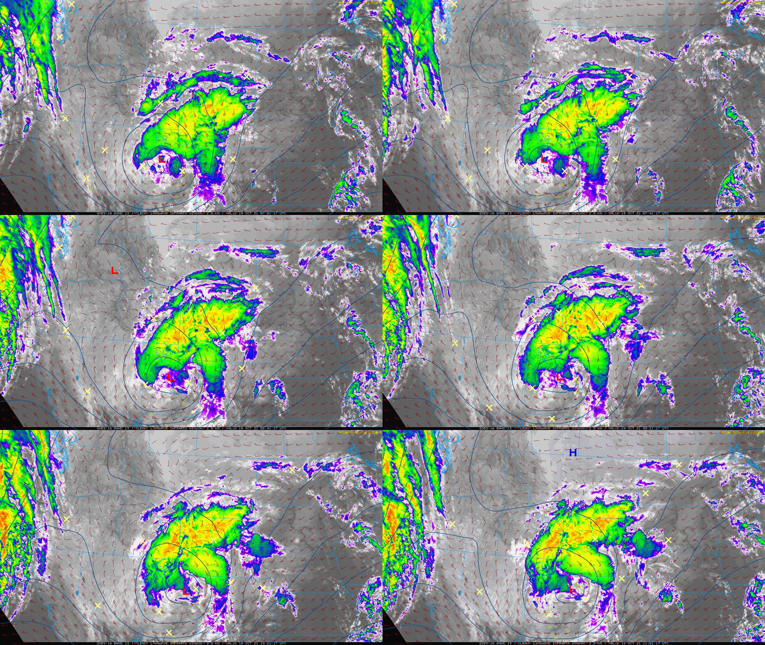
ADetailed Forecast Discussion: strong closed-low pressure system will move along the Colorado-Wyoming border through the day with a track that will downslope our entire area. This morning's GOES-East infrared satellite animation shows the storm spinning across central Utah. It will move northeastward and be over Cheyenne by this evening. This is the GFS 500mb height forecast for 6PM tonight. Outside …

BoulderCAST Daily – Sun 10/17/21 | Highs a category or two higher in the low to middle 70s

TDetailed Forecast Discussion: he ridge of high pressure, noticeable on the upper-level height and wind pattern below, will remain in place and build eastward today. That will spell out another sunny afternoon. There is another system that will move onshore into California later today and tonight, but won't actually reach us until late Monday into Tuesday. The map below shows …

BoulderCAST Daily – Sat 10/16/21 | Gorgeous weather the entire weekend

TDetailed Forecast Discussion: he entire weekend looks spectacular with crystal clear skies and rising temperatures. A ridge of high pressure settles over the Four Corners today and largely remains in place through Sunday. Today's highs will reach the mid to upper 60s, while tomorrow's high warm further to the low to middle 70s. Our next potential weather system approaches late …

« Older posts Newer posts »