


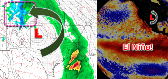
After five straight sixty-degree days with quiet weather, things will turn cooler and unsettled for the weekend ahead as a sloppy El Niño storm moves through bringing a mix bag of precipitation to the Front Range. While there is still plenty of uncertainty in the exact outcome for Boulder and Denver, we discuss the latest forecast details including when the rain will start (including some rumbles of thunder), when and where it will change over to snow, which ski resorts will be rolling in powder this weekend, and most importantly — the expected moisture and snowfall amounts across the Front Range area. Let’s dive in!
Category: Climatology (Page 35 of 74)
These posts contain information about the long-term weather patterns of Boulder County. Potential topics may include 30-day weather outlooks, El Nino/La Nina, and seasonal forecasts. You will find less about the day-to-day weather, with more focus on longer trends and patterns.
We got our first taste of 60-degrees in the New Year on Sunday and those sixties will continue through much of the week ahead as high pressure dominates our weather. However, as you’ve probably heard already, a potent Pacific storm is looming in the extended with a slew of impacts expected across the Front Range during the upcoming weekend. Uncertainty is unsurprisingly quite high being six days out, but early indication does show a good chance for a significant accumulation of heavy wet snow in the Metro area following a period of rain. Read on as we discuss not only the beautifully warm and sunny weather this week, but also the cold and snowy stuff brewing for the weekend.
This week in the Front Range will be rather quiet and dry with most of the weather systems passing to our south. High temperatures will largely hover in the 40s throughout the extended — a very seasonal stretch indeed! There is some indication for a late-week snow chance but that is currently shaping up to be very minor at best. Let’s take a look…
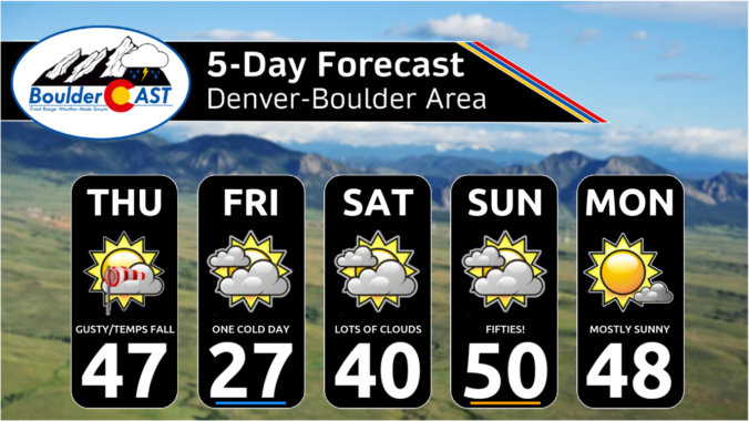
With the Great Arctic Blast of 2024 starting to wrap up across Front Range Colorado, the weather week ahead will be comparatively less eventful. However, there are multiple disturbances lined up in the coming days which will bring waves of moderate to heavy snow in the Mountains as well as a small chance of wintry precipitation to the Metro area. A thawing trend will ensue in the coming days, but temperatures won’t get back above normal until late in the weekend or early next week.
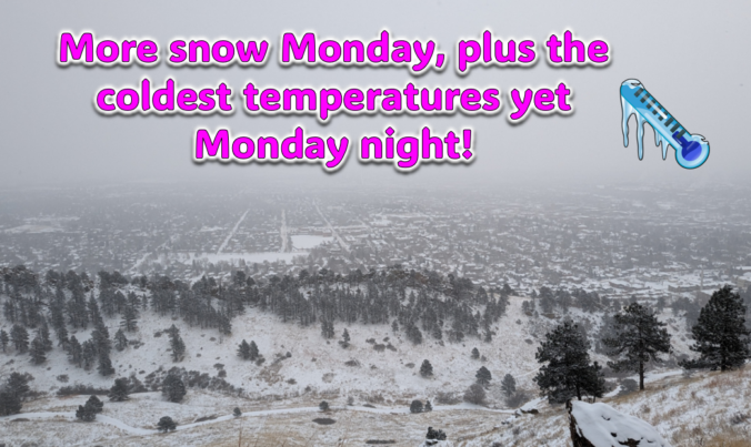
Just when you might have thought things were turning warmer, a secondary Arctic front and more snow will arrive to the Front Range on Monday. Additional snow accumulations and slick travel are expected during the day with the coldest temperatures we’ve seen yet developing Monday night. Let’s take a look at the latest as the ongoing Arctic blast delivers one final blow on MLK Day!
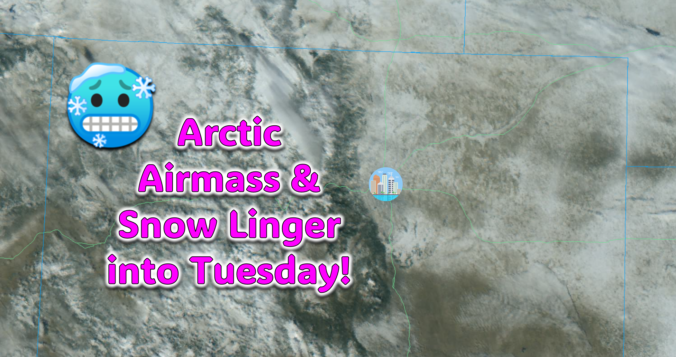
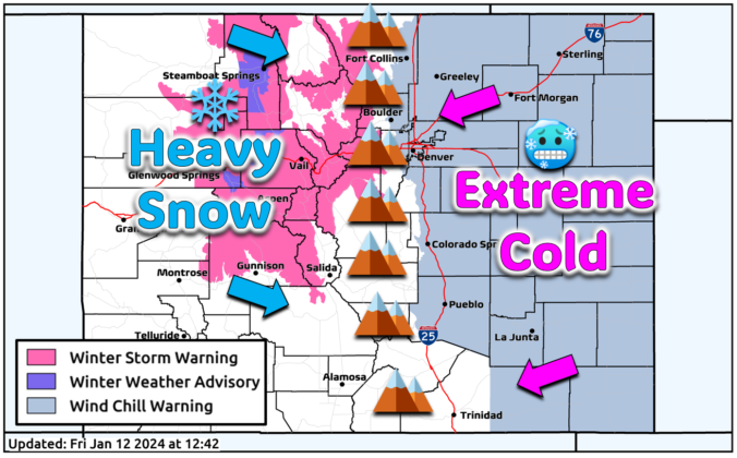
The Arctic air has arrived in the Front Range and it’s here to stay for several more days. We take a quick look at the overnight snow totals, the record low temperatures set already Saturday morning, and update you on the forecast for the rest of the weekend. More accumulating snow and even colder temperatures are on the way!

Live View of Boulder

Current Conditions

Live Radar

Latest Smoke Forecast

Recent Premium Posts

BoulderCAST Daily – Tue 09/22/26 | Subtropical Plume Arrives, Rainfall Still Hard to Come By
🌦️ Moisture surge — Subtropical moisture lifts into Colorado today, sparking scattered afternoon/evening …
BoulderCAST Daily – Sun 09/20/26 | Trending Drier and a Bit Warmer into Midweek
🌧️ Rain is limited today and Monday: A front will warrant a slight …
BoulderCAST Daily – Sat 09/19/26 | A dual threat of severe storms and heavy rainfall today and Sunday
🌧️ Heavy Rainfall: Anomalous moisture and lift will promote isolated heavy rainfall, mainly …
3-Day Forecast

Trending Content



© 2026 Front Range Weather, LLC