


Category: Climatology (Page 31 of 74)
These posts contain information about the long-term weather patterns of Boulder County. Potential topics may include 30-day weather outlooks, El Nino/La Nina, and seasonal forecasts. You will find less about the day-to-day weather, with more focus on longer trends and patterns.
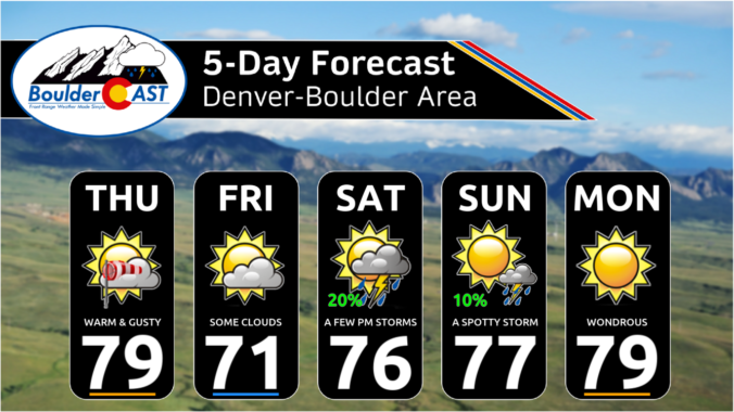
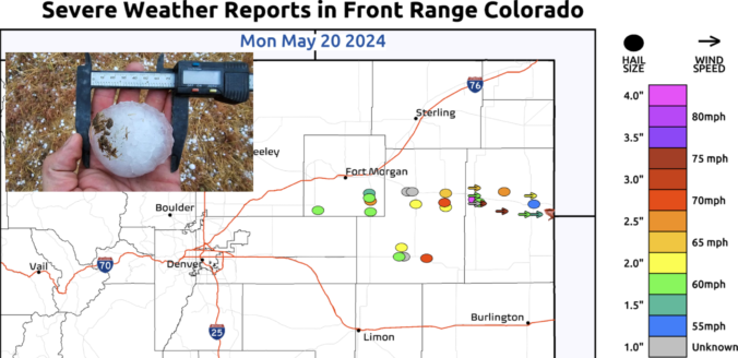
Front Range temperatures through the week will largely hover near to above normal, though there will be a brief dip in temperatures one day behind a late-spring cold front. Rain chances will focus on the early to middle part of the week with our best shot of raindrops coming on Wednesday. Drier and warmer weather will resume for the latter part of the week with 80-degree temperatures in sight. We also provide an update on the chance of seeing more aurora this week. Read on for more details.
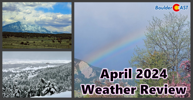
Despite having a two-week-long dry stretch thrown into the mix, the month of April concluded wetter than normal for most of the Front Range. However, much of this moisture came from a soaking rainstorm (with a little snow) near the end of the month. Nonetheless, 2024 has begun as one of the all-time wettest in Boulder. We also endured an intense downslope windstorm near the beginning of April, but who could forget that? Xcel Energy customers sure wouldn’t! Here’s a quick and colorful graphical recap of our weather during April and how it relates to climatology.
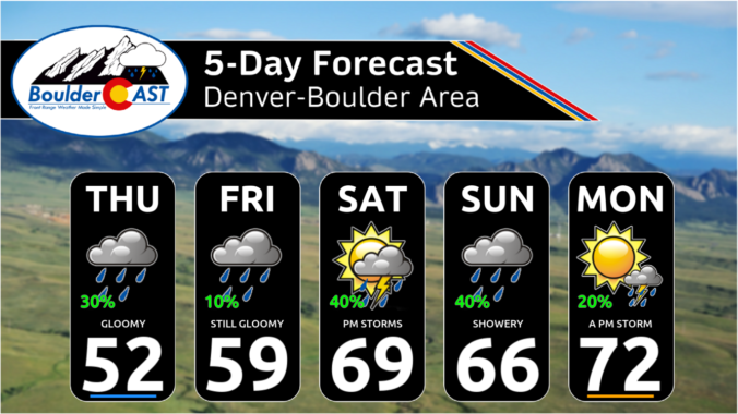
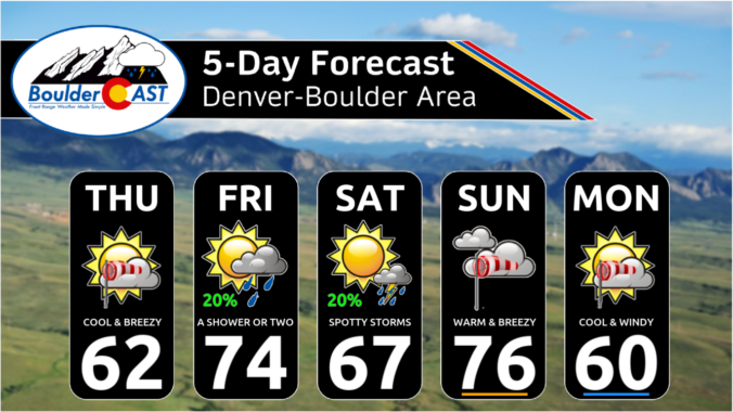
After another round of spring snow over the weekend, the pattern will stay somewhat active across the Front Range this week, but with the warmer late April temperatures translating to only rain chances for the lower elevations. Unfortunately it looks like the gloom will stick around into the upcoming weekend as well. Let’s take a look.

Live View of Boulder

Current Conditions

Live Radar

Latest Smoke Forecast

Recent Premium Posts

BoulderCAST Daily – Tue 09/22/26 | Subtropical Plume Arrives, Rainfall Still Hard to Come By
🌦️ Moisture surge — Subtropical moisture lifts into Colorado today, sparking scattered afternoon/evening …
BoulderCAST Daily – Sun 09/20/26 | Trending Drier and a Bit Warmer into Midweek
🌧️ Rain is limited today and Monday: A front will warrant a slight …
BoulderCAST Daily – Sat 09/19/26 | A dual threat of severe storms and heavy rainfall today and Sunday
🌧️ Heavy Rainfall: Anomalous moisture and lift will promote isolated heavy rainfall, mainly …
3-Day Forecast

Trending Content



© 2026 Front Range Weather, LLC