Yesterday ended up being a fairly active day for slow-moving thunderstorms across the Front Range, though the storms were still hit-or-miss. Some parts of the Metro area received more than 1" of rainfall, while others gathered next to nothing. The radar animation below was from last night around 10PM as strong thunderstorms moved through the Denver area. The graphics below …
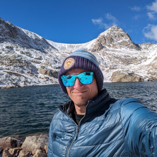
Ben grew up in southwestern Pennsylvania and holds both a bachelor's and a master's degree in Meteorology, the latter being from CU Boulder. His hometown received nearly three feet of snow from the Storm of the Century back in March of 1993, sparking his initial interest in impactful weather. Ben currently works on remote sensing and data analysis software at NV5 Geospatial Software in Boulder.
More Posts