After a relatively quiet and dry Monday across the Boulder-Denver area, the forecast gets a bit more interesting today. A couple of surface boundaries, some upper-level energy, and an uptick in monsoonal moisture will come together to bring scattered showers and thunderstorms back to the Front Range. GOES-East water vapor imagery shows the high pressure ridge still positioned to our …
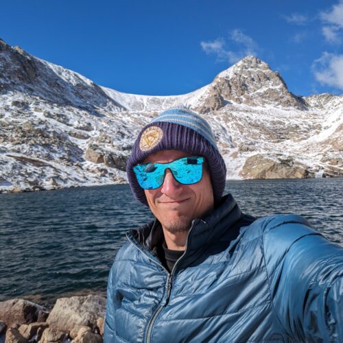
Ben grew up in southwestern Pennsylvania and holds both a bachelor's and a master's degree in Meteorology, the latter being from CU Boulder. His hometown received nearly three feet of snow from the Storm of the Century back in March of 1993, sparking his initial interest in impactful weather. Ben currently works on remote sensing and data analysis software at NV5 Geospatial Software in Boulder.
More Posts