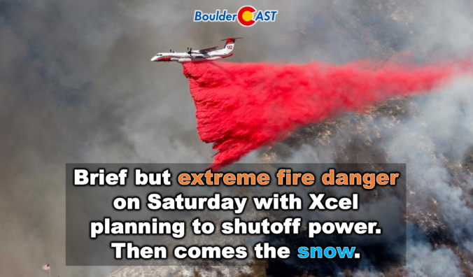
Colorado just wrapped up one of its wildest weather weeks of the season: persistent fire danger, surprise snow, historic damaging winds in Fort Collins, and a sudden arrival of dense wildfire smoke from Nebraska. Even worse, the atmosphere isn’t done with us yet. As we head into the weekend, a fast‑evolving setup is lining up another round of high‑impact conditions for the Front Range, from extreme fire danger to an abrupt overnight flip to snowflakes. And once we get through that, next week brings a pattern shift so extreme it’s poised to rewrite March climatology and decimate the already anemic snowpack across the entire West. Let’s get into it.
Author: BoulderCAST Team (Page 1 of 47)
This post had major contributions from at least two members of our team. The more meteorologists the better, right?
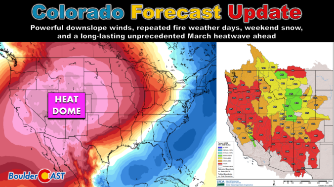
After Tuesday’s surprise temperature split and a sneaky round of overnight rain‑to‑snow, the Front Range is gearing up for a volatile stretch ahead defined by powerful downslope winds, repeated fire weather days, and a weekend cold front with a few snowflakes behind it. And beyond that? An unbelievably intense mid‑March heat wave that will rewrite the record books and kick off snowmelt across much of the West next week. Let’s get into the details.

Our late‑week spring storm delivered a far more impressive performance than early models suggested. What looked like a modest, fast‑moving system slowed down, reorganized, and ultimately dumped a surprisingly healthy swath of heavy, wet snow across the Front Range. From booming Foothills totals to a rare over‑performance at DIA, this one had plenty of action worth unpacking. Let’s take a look at how the storm evolved, where our forecast missed the mark, and just how quickly we’ll be warming back into the 70s.
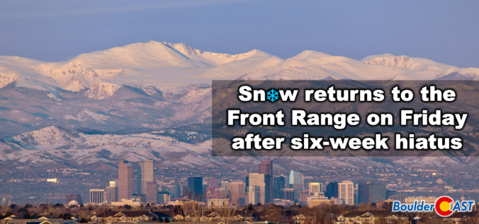
A quick shot of winter weather is finally lining up for the Front Range, and this one has just enough cold air, upslope, and atmospheric ingredients to make things interesting. After weeks (months?) of springlike warmth and storms that couldn’t quite commit to generating lower elevation snow, this late‑week system is poised to break that streak—though not without a few twists. We discuss who is likely to get the most accumulation of wet snow, who gets skunked by downslope, and how fast we’ll bounce right back to sunshine and 60s once the flakes stop flying.
UPDATE (Friday 3/6/26 8:00AM): The majority of models have slowed our storm down allowing for a longer period of ideal snow ingredients to linger over the Front Range on Friday when moderate snow bands will impact the area. Snow amounts have been increased a tad regionwide, with slushy roads now favored for the lower elevations, and difficult travel in the Mountains/Foothills. Snow will continue all day Friday before tapering off Friday evening. Temperatures near and slightly above freezing will allow for a lot of melting. We discuss the changes to the forecast and the latest developments in Friday’s Premium Storm Update HERE.
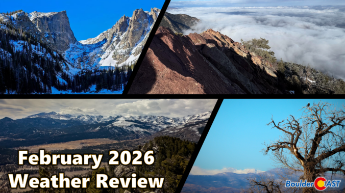
February 2026 ran exceptionally warm, dry, and almost snowless across the Front Range—another month that felt more like an early spring preview than the heart of winter. Warm spells were frequent, with multiple days soaring into the 60s and even low 70s, while true winter cold was only brief and muted. February was a month defined by sunshine, downslope winds, fire danger, and a striking lack of moisture. It was officially Boulders 3rd warmest and 9th driest February on record. Here’s a quick and colorful graphical recap of our weather during February and how it relates to climatology.
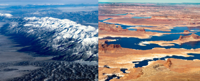
Winter may be on the calendar, but it certainly hasn’t been in the air this year. As the West stumbles through one of its warmest, most lopsided cold seasons on record, the signs of a deeper shift are becoming impossible to ignore. From record‑breaking heat along the Front Range to a snowpack crisis unfolding across the entire West, this “winter” has rewritten the rules — and the ripple effects are only beginning to surface. We break down what happened this year, why it matters, and what this complete failure of a winter means for the months ahead.

Email notifications for our new posts and/or daily forecasts may not be going out as there is an issue with our third-party email service provider. You do not need to resubscribe to any lists.
We appreciate your patience—everything will be back to normal shortly. Thank you.
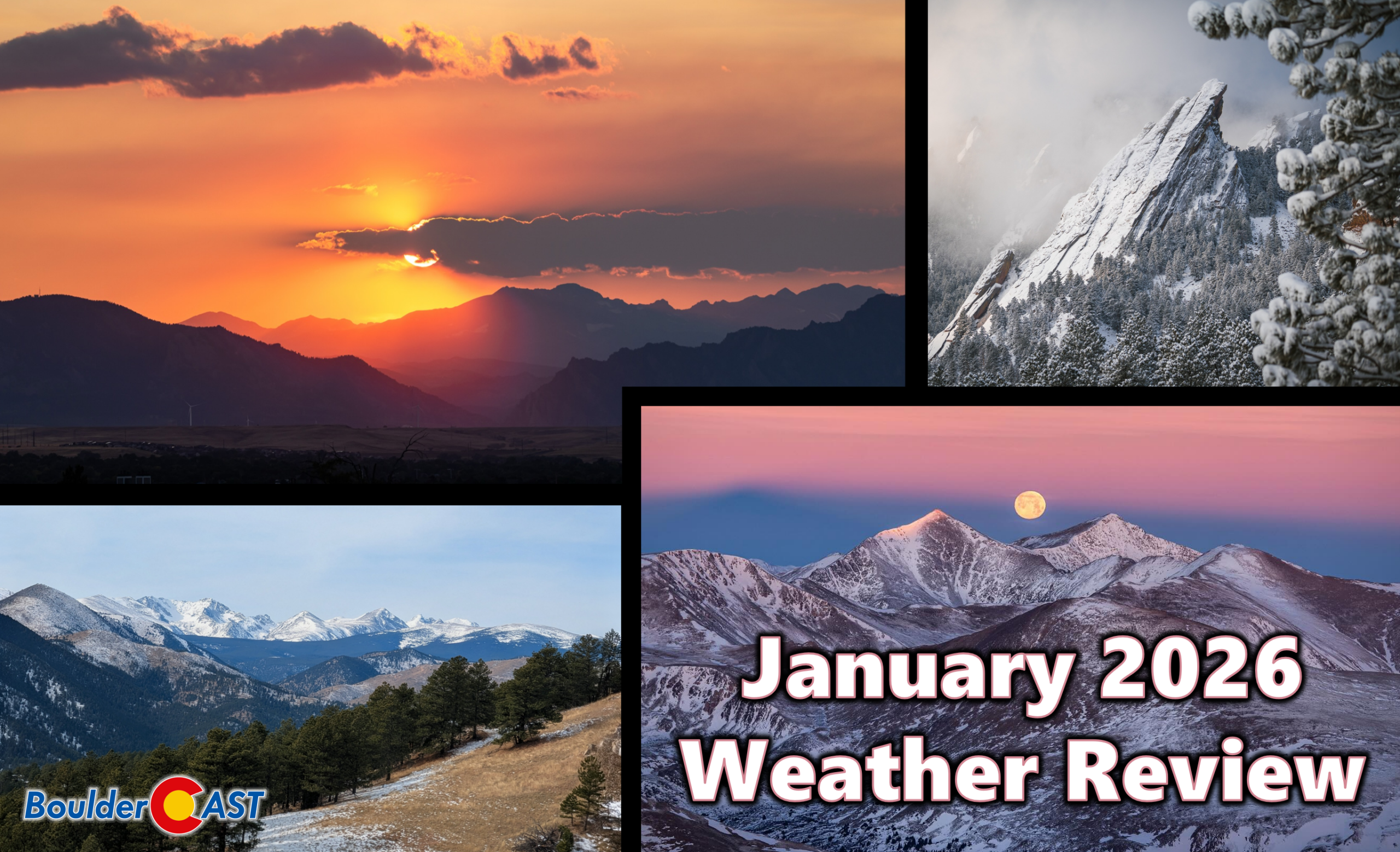
January 2026 wrapped up feeling more like an early taste of spring than the heart of winter along the Front Range, with warm spells, frequent downslope winds, and only fleeting brushes with snow. Boulder spent much of the month running well above normal, dodging storm after storm as the real winter weather stayed locked in the Mountains and across the eastern half of the country. Here’s a quick and colorful graphical recap of our weather during January and how it relates to climatology.

Live View of Boulder

Current Conditions

Live Radar

Recent Premium Posts

BoulderCAST Daily – Wed 04/01/26 | The first day of April is showery, with even a few isolated storms
⛈️ Wednesday the 1st of April is showery: a shortwave brings scattered to …
BoulderCAST Daily – Tue 03/31/26 | The Great March 2026 heatwave is over with cooler, showery days ahead in the Front Range
🌬️ Heatwave broken: a pre‑dawn cold front will be keeping today’s highs near …
BoulderCAST Daily – Sun 03/29/26 | Staying warm prior to a cold front Tuesday
🔥 The low 80s continue through Monday, as ridge remains in place. 🌨️🌧️ …
3-Day Forecast

Trending Content

© 2026 Front Range Weather, LLC