Author: Ben Castellani (Page 45 of 358)

Ben grew up in southwestern Pennsylvania and holds both a bachelor's and a master's degree in Meteorology, the latter being from CU Boulder. His hometown received nearly three feet of snow from the Storm of the Century back in March of 1993, sparking his initial interest in impactful weather. Ben currently works on remote sensing and data analysis software at NV5 Geospatial Software in Boulder.
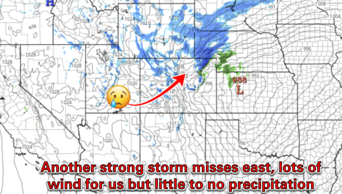
Premium BoulderCAST Daily – Tue 03/18/25 | Near-critical fire conditions ahead of an afternoon cold front, minimal precipitation chance as another storm misses east

Yesterday saw peak wind gusts over 50 MPH across much of the western Metro area, Foothills and Mountains, including multiple gusts over 80 MPH in and around Boulder County. Several power outages were noted due to the wind, as well as a lone 30-acre grass fire to the north in Larimer County which forced mandatory evacuations but was fortunately quickly …

Premium BoulderCAST Daily – Wed 03/12/25 | Quiet in the 60s through Thursday, lots of wind and a brief chance of showers on Friday

In general, it will be another warm and quiet day across the Front Range for our Wednesday. Water vapor satellite imagery from GOES-East shows a petite shortwave disturbance moving eastward through the Desert this morning with some patches of cloud cover impacting Colorado out ahead of it. Wave clouds were pretty thick yesterday in the Boulder area, especially by afternoon. …

Premium BoulderCAST Daily – Tue 03/11/25 | Warm with lots of wave clouds today, the windy storm remain on-track for Friday

All remains quiet for the next few days across the Front Range as Colorado stays under a flattened mid-level ridge. After reaching close to 70 yesterday, temperatures will be a few degrees cooler for our Tuesday with thicker (wave) cloud cover in place. We should reach the mid to upper 60s, still some 10°F above normal for mid-March. Tomorrow will …

This Week in Colorado Weather: March 10, 2025

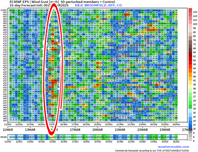
As we head into the second week of March, Mother Nature will offer up a wide range of weather in the Front Range, including elevated fire danger, unseasonably warm temperatures, and an impressively strong spring storm system by Friday. The late-week storm will usher in Mountain snow and widespread strong winds to the state. Depending on how things evolve, blizzard conditions and blowing dust may be an issue east of Denver, but things aren’t looking too bad in our immediate area. Read on for all the details.
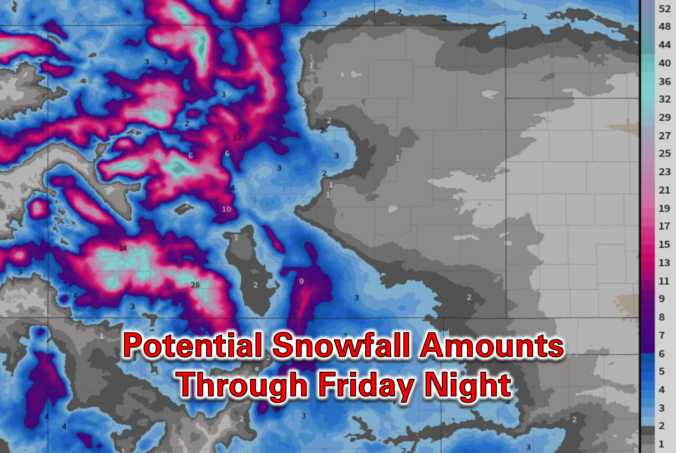
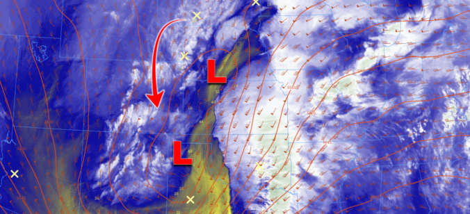
Continue reading

Premium BoulderCAST Daily – Wed 03/05/25 | Briefly pleasant today, but cooler and unsettled weather lies ahead

This morning is starting out cold but beautiful across Boulder and the rest of the Metro area with sunny skies and light winds. Meager overnight snowfall is coming to an end in the Mountains. Take a look at the latest view from eastern Boulder County where a cap cloud is shrouding the Continental Divide: Today will be the nicest day …

Premium BoulderCAST Daily – Tue 03/04/25 | Blustery north winds up to 40 MPH linger in the wake of the departing strong storm

After producing a wave of widespread rain and snow last evening, our big storm system has exited to the east this morning, now located in two lobes positioned from Nebraska to Texas. Most of the Metro area saw a dusting of snow or less, with many just seeing exclusively rain. We never got colder than 37°F at our station overnight …

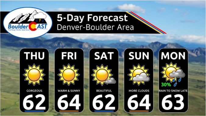
Premium This Weekend in Colorado Weather: A long string of 60-degree days ahead of rain/snow early next week

Not a single cloud is present across the entire state of Colorado this morning, as seen from the GOES-East microphysics animation below. All of the clouds around us are rotating clockwise, a clear sign that high pressure is likely parked across the Nevada area. Would you look at that, satellite tells the truth! This high pressure will remain our main …

« Older posts Newer posts »