


Author: Ben Castellani (Page 287 of 358)
Ben grew up in southwestern Pennsylvania and holds both a bachelor's and a master's degree in Meteorology, the latter being from CU Boulder. His hometown received nearly three feet of snow from the Storm of the Century back in March of 1993, sparking his initial interest in impactful weather. Ben currently works on remote sensing and data analysis software at NV5 Geospatial Software in Boulder.
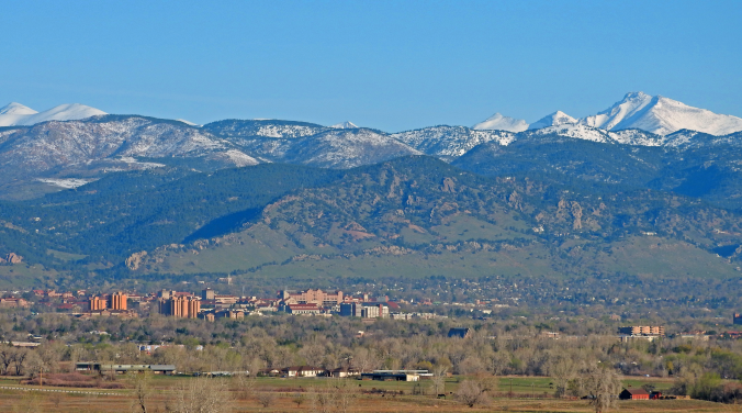
With April come and gone, we are now fully entrenched in the Spring season here in the Front Range. We take a look at current trends, past climatology, and offer our prediction for the month of May in northeast Colorado.
This content was exclusively available to BoulderCAST Premium Members through May 2, 2017.
Happy First of May! Last week’s wintry weather will indeed be a tough act to follow. The week ahead will be quieter for sure, but the threat of rain and higher elevation snow is still a concern. We also see 80-degree temperatures and a stellar weekend on the horizon. Read on for our complete forecast of the upcoming week.
Live Radar

Trending Content


Recent Premium Posts

BoulderCAST Daily – Sat 11/14/26 | A Pair of Foggy Mornings With Little Rain
🌫️ A Pair of Foggy Mornings — Moisture banked up along the Foothills …
BoulderCAST Daily – Fri 11/13/26 | Quiet Today But Turning Unsettled Tomorrow
☀️ Quiet Today — Sunshine and low to middle 60s across the Front …
This Weekend in Colorado Weather: The Quiet Pattern Ends as Storm Activity Picks Up Across the West
After weeks of sunshine, mild afternoons, and storm systems repeatedly missing Colorado to …
© 2026 Front Range Weather, LLC