


Author: Ben Castellani (Page 286 of 358)
Ben grew up in southwestern Pennsylvania and holds both a bachelor's and a master's degree in Meteorology, the latter being from CU Boulder. His hometown received nearly three feet of snow from the Storm of the Century back in March of 1993, sparking his initial interest in impactful weather. Ben currently works on remote sensing and data analysis software at NV5 Geospatial Software in Boulder.
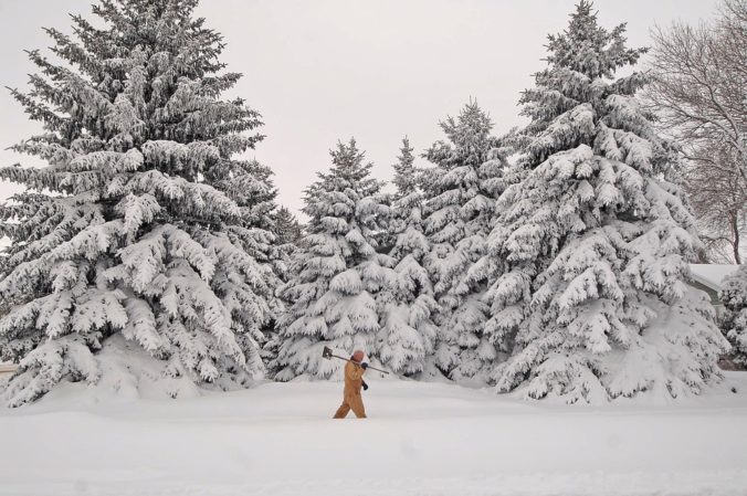
The next few days will solidify the rest of the country’s belief that our weather here is pure insanity. We provide an update on what is shaping-up to be an historic late-season winter storm for the Front Range Foothills. The potential for accumulating snow across the lower elevations is much more uncertain at this time. Read on for the latest details…

More unsettled weather is looming for the week ahead! We’ll squeeze out a few nice days to start, but temperatures will be tumbling by mid week as a formidable storm system heads towards Colorado. Thursday and Friday’s forecast is currently shrouded in a bit of uncertainty, by several models are indicating significant precipitation for the Front Range, and even the potential for accumulating snow across the Plains. Read on for all the details.
Our rainiest month has delivered this week with beneficial moisture falling across all of the Front Range. And of course, let’s not forget Monday’s insane hailstorm in downtown Denver, Lakewood, and Arvada. Here are cumulative rain totals this week through 7:00 AM Thursday:
- Boulder – 1.80″
- Golden – 1.72″
- Nederland – 1.45″
- BoulderCAST Station – 1.39″
- Downtown Denver – 1.30
- Broomfield – 0.95″
- Louisville – 0.89″
- Longmont – 0.75″
- Denver Int’l Airport – 0.75″
With three and a half “days of Seattle” out of the way, we’ll revert to “typical Colorado” in short order. Sunshine returns and temperatures rebound to near 80 degrees tomorrow and into the weekend.
It will be a dreary day here in the Front Range. Read on for our complete forecast for today and tonight.
Live Radar

Trending Content


Recent Premium Posts

BoulderCAST Daily – Sat 11/14/26 | A Pair of Foggy Mornings With Little Rain
🌫️ A Pair of Foggy Mornings — Moisture banked up along the Foothills …
BoulderCAST Daily – Fri 11/13/26 | Quiet Today But Turning Unsettled Tomorrow
☀️ Quiet Today — Sunshine and low to middle 60s across the Front …
This Weekend in Colorado Weather: The Quiet Pattern Ends as Storm Activity Picks Up Across the West
After weeks of sunshine, mild afternoons, and storm systems repeatedly missing Colorado to …
© 2026 Front Range Weather, LLC