Author: Ben Castellani (Page 272 of 301)
Ben grew up in southwestern Pennsylvania and holds both a bachelor's and a master's degree in Meteorology, the latter being from CU Boulder. His hometown received nearly three feet of snow from the Storm of the Century back in March of 1993, sparking his initial interest in impactful weather. Ben currently works on remote sensing and data analysis software at NV5 Geospatial Software in Boulder.
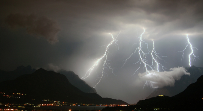
This afternoon’s thundershowers were a welcomed reminder of what July in Colorado could and should be like, weather which we have been hoping for over the last few weeks. Thankfully, Mother Nature has a few promising changes in-store for the near-future, beginning early next week with the resurgence of monsoon moisture to the region.
After a weekend filled with sunshine, heat and wildfires, the week ahead will feature a slight cool-down across northern Colorado as zonal flow takes center-stage. With this, rain chances will be minimal and confined to the end of the week. Continue reading for a recap of the recent dry weather and our complete forecast for the upcoming week.

Both Denver and Boulder are chasing record highs today. 99 is the number to beat in Denver, 100 in Boulder. We are forecasting 99 degrees in both cities today.
Fire danger will be high as well this afternoon, especially in the Foothills where Red Flag Warnings are active. A combination of hot temperatures, low humidity, and gusty southwest winds will breed volatile conditions for the rapid spread of fire. Luckily, there is no chance of lightning today, so any ignitions will require a human.
Therefore, please take extra precaution. We already had careless folks destroy several hundred acres of Boulder County forest yesterday…

Live View of Boulder

Current Conditions

Live Radar

Recent Premium Posts

BoulderCAST Daily – Tue 05/12/26 | Slightly cooler following an overnight front, but record highs near 90° return by tomorrow
🔥 Record‑tying heat: Boulder hit 88°F Monday, matching May 11th highs from 1961–63 …
BoulderCAST Daily – Sun 05/10/26 | Cooler today but the 80s are not far behind
☀️ Sunshine and pleasant temperatures with upper 60s for our Sunday 🌡️ Trending …
BoulderCAST Daily – Sat 05/09/26 | Watching some late-day showers ahead of a cold front tonight
🌧️ Scattered showers this afternoon and evening ahead of a cold front setting …
3-Day Forecast

Trending Content

© 2026 Front Range Weather, LLC
You must be logged in to post a comment.