Author: Ben Castellani (Page 244 of 301)
Ben grew up in southwestern Pennsylvania and holds both a bachelor's and a master's degree in Meteorology, the latter being from CU Boulder. His hometown received nearly three feet of snow from the Storm of the Century back in March of 1993, sparking his initial interest in impactful weather. Ben currently works on remote sensing and data analysis software at NV5 Geospatial Software in Boulder.
After experiencing near-record snowfall last winter with a historically strong El Niño in place, the better part of the last year has seen below normal precipitation across most of eastern Colorado. Drought has continued to expand and intensify through the winter season. However, a fruitful pattern shift is ahead, beginning with our first spring storm of the year! Continue reading as as we provide an update on the drought and our thoughts on the upcoming storm.
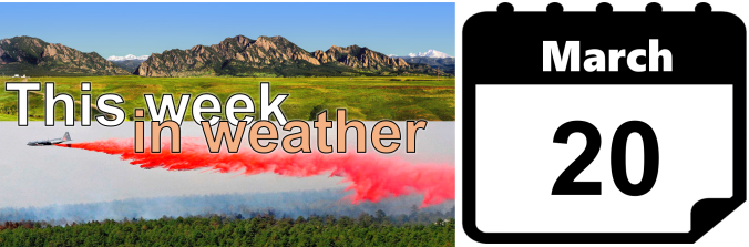
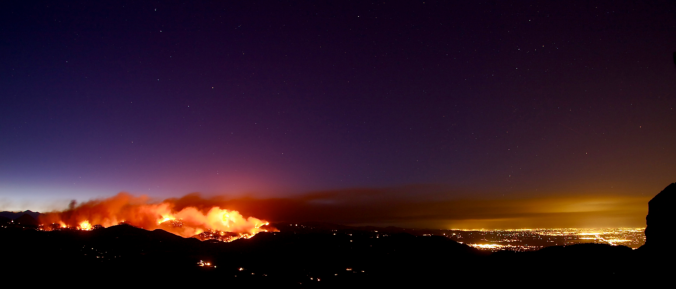
Happy First Day of Spring! As smoke spewed from the mouth of Sunshine Canyon yesterday, the extent of the wildfire threat become more obvious than ever. The fire ignited late Saturday night following what has been more than three weeks in Boulder without measurable precipitation. We have some good news…the week ahead should offer some reprieve for the extremely dry weather of late. In fact, we have a chance of precipitation in the forecast each and every day this week. We’re also tracking a potential spring storm late in the week. Continue reading for our complete weekly outlook including our thoughts on the potential for accumulating snow.

Live View of Boulder

Current Conditions

Live Radar

Recent Premium Posts

BoulderCAST Daily – Sun 05/10/26 | Cooler today but the 80s are not far behind
☀️ Sunshine and pleasant temperatures with upper 60s for our Sunday 🌡️ Trending …
BoulderCAST Daily – Sat 05/09/26 | Watching some late-day showers ahead of a cold front tonight
🌧️ Scattered showers this afternoon and evening ahead of a cold front setting …
BoulderCAST Daily – Fri 05/08/26 | Warmer weather takes hold
☀️ Warmer and calmer skies ahead: Expect lots of sunshine from the upper …
3-Day Forecast

Trending Content

© 2026 Front Range Weather, LLC