Author: Ben Castellani (Page 227 of 301)
Ben grew up in southwestern Pennsylvania and holds both a bachelor's and a master's degree in Meteorology, the latter being from CU Boulder. His hometown received nearly three feet of snow from the Storm of the Century back in March of 1993, sparking his initial interest in impactful weather. Ben currently works on remote sensing and data analysis software at NV5 Geospatial Software in Boulder.

It truly felt like summer came to a close as Fall officially began last Friday. What a great reprieve these last few days have been! The large trough which began to influence our region last Friday will continue to be our main focus for much of the week ahead with below normal temperatures and unsettled weather prevailing across Colorado.
We’ve really been spoiled of late in regards to weather! Only a few raindrops have fallen in the last six weeks, with temperatures remaining warmer than normal on all but a handful of days. This changes on Saturday as a deep trough plows into the region, kicking the unending ridge of high pressure eastward. Cool and unsettled weather will linger well into next week. We’re also monitoring the potential for the first significant snowfall in the Mountains. We have a lot to discuss!
Thanks to everyone who entered our “First Snow” contest. We briefly review the entries, which surprisingly follow closely with Boulder’s climatology of late October.

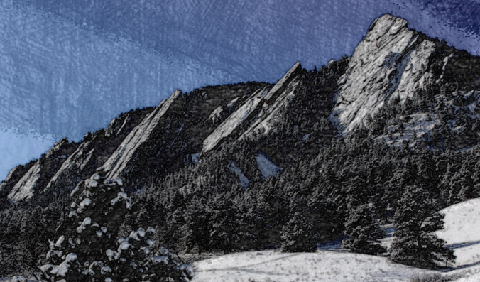
Live View of Boulder

Current Conditions

Live Radar

Recent Premium Posts

BoulderCAST Daily – Sun 05/10/26 | Cooler today but the 80s are not far behind
☀️ Sunshine and pleasant temperatures with upper 60s for our Sunday 🌡️ Trending …
BoulderCAST Daily – Sat 05/09/26 | Watching some late-day showers ahead of a cold front tonight
🌧️ Scattered showers this afternoon and evening ahead of a cold front setting …
BoulderCAST Daily – Fri 05/08/26 | Warmer weather takes hold
☀️ Warmer and calmer skies ahead: Expect lots of sunshine from the upper …
3-Day Forecast

Trending Content

© 2026 Front Range Weather, LLC