

Author: Ben Castellani (Page 184 of 358)

Ben grew up in southwestern Pennsylvania and holds both a bachelor's and a master's degree in Meteorology, the latter being from CU Boulder. His hometown received nearly three feet of snow from the Storm of the Century back in March of 1993, sparking his initial interest in impactful weather. Ben currently works on remote sensing and data analysis software at NV5 Geospatial Software in Boulder.
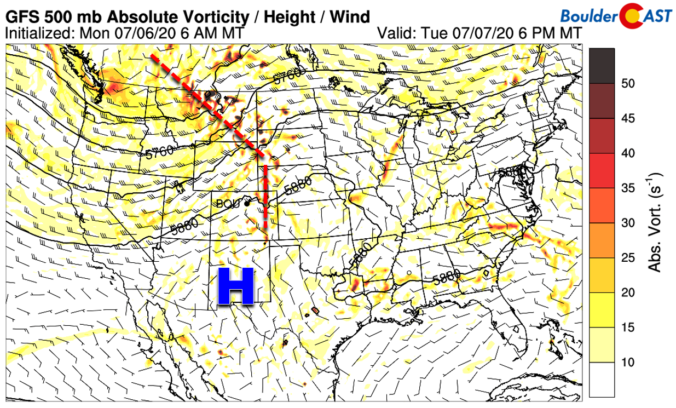

BoulderCAST Daily – Tue 07/07/20 | Toasty with isolated storms

YDetailed Forecast Discussion esterday's temperatures soared well into the 90's across all of eastern Colorado. The official high was 92°F in Boulder and 97°F at Denver International Airport. For today, a shortwave disturbance will be tracking mostly to our north along the northern flank of a relatively flattened ridge of high pressure. There will be a slightly boosted chance of …

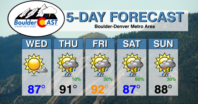
BoulderCAST Daily – Thu 07/02/20 | Mainly hot and dry, moisture arrives tomorrow

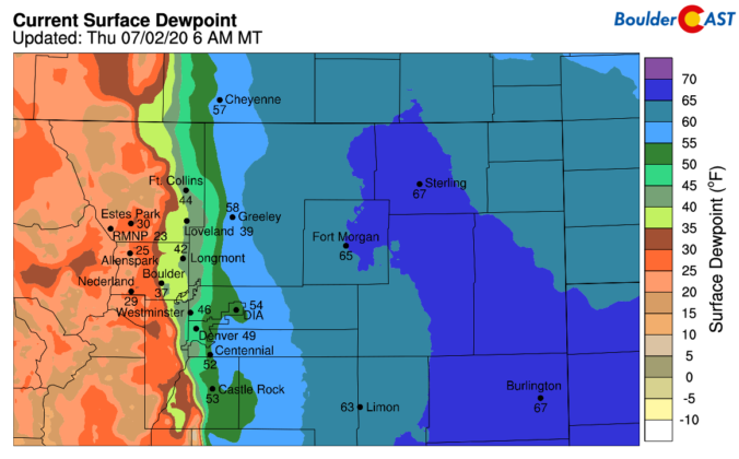
SDetailed Forecast Discussion hallow but impressive moisture has backed into eastern Colorado overnight from Kansas with dew points approaching 70°F across far eastern Colorado. Now that is sticky! Further west, a dry line exists along the Front Range with dew points only in the 30's in Boulder, but middle 50's at DIA. Low clouds and even a few areas of …

BoulderCAST Daily – Wed 07/01/20 | Gorgeous to start July, but trending hotter & wetter

ADetailed Forecast Discussion ridge of high pressure will build across the area from the EAST over the next several days leading to a warming trend, The large-scale wave pattern across North America will continue to retrograde in the coming days. That is, both the ridge in the center of the country and the trough in the Pacific Northwest will be …

BoulderCAST Daily – Tue 06/30/20 | Cooler and gusty with isolated storms

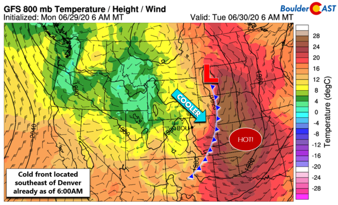
TDetailed Forecast Discussion he current 500 mb map for the western United States looks a little ominous with a strong and cold cut-off low pressure spinning near Yellowstone National Park this morning. The view from GOES-East infrared is just as impressive. Fortunately the cut-off low has stalled and is not expected to push any further south in the coming days. …

BoulderCAST Daily – Thu 06/25/20 | Hot with isolated storms producing gusty winds

DDetailed Forecast Discussion id you see the thunderstorm last evening that produced a gusty outflow with wind gusts of 55+ MPH in eastern Boulder County as it died and rolled off the Foothills? A Severe Thunderstorm Warning, a fairly large one nonetheless, was issued for most of the northern and central Denver Metro area. This is probably the third time …

BoulderCAST Daily – Wed 06/24/20 | Getting warm with isolated storms

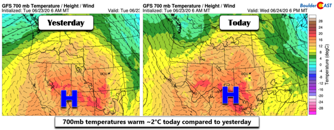
TDetailed Forecast Discussion he axis of a weak ridge is pushing across Colorado today with moderate warming noted aloft in the models over the Front Range. This will translate into highs several degrees above yesterday with most areas pushing into the upper 80's, with  perhaps a few spots cracking 90 degrees. The graphic below shows rainfall totals from yesterday; Boulder …

« Older posts Newer posts »